Featured
Laser scanners for mapping, surveying and inspection, and perception LiDAR for autonomous navigation.
Filters
Try removing a filter.



Updated November 3, 2026
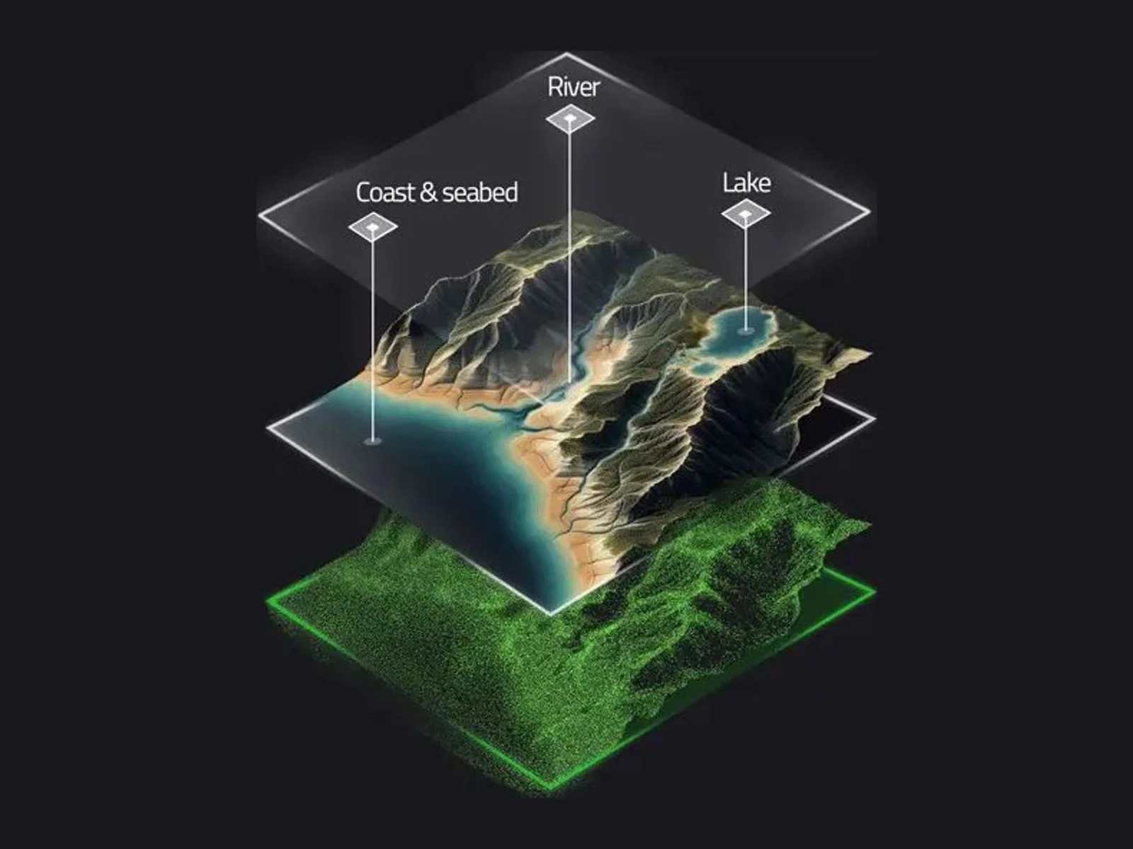
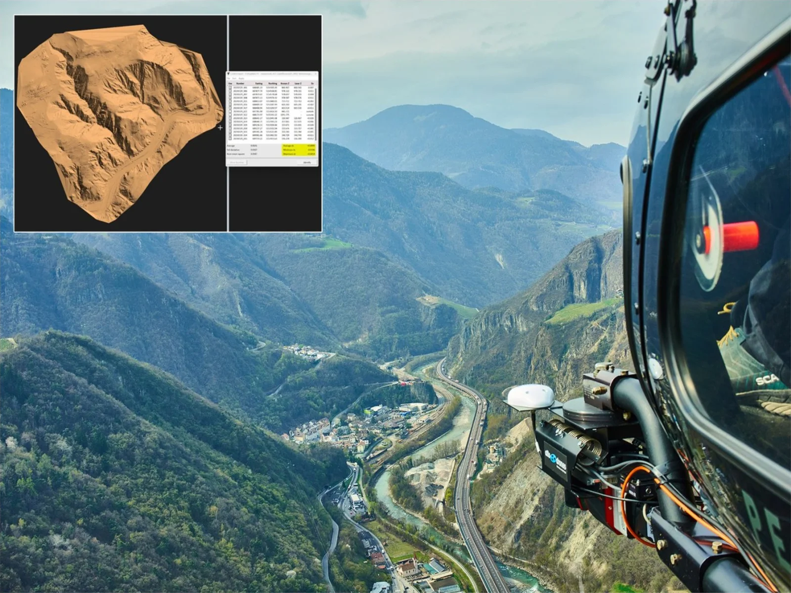
LiDAR (light detection and ranging) measures distances with laser pulses and builds three-dimensional point clouds. On drones it is used for surveying, corridor mapping, forestry, mining and inspection, and, in smaller forms, for obstacle detection and autonomous navigation.
For terrain under vegetation, choose multiple returns and high point density. For long corridors, range and accuracy at altitude matter most. The quality of the trajectory (INS and GNSS processing) is as important as the laser itself.
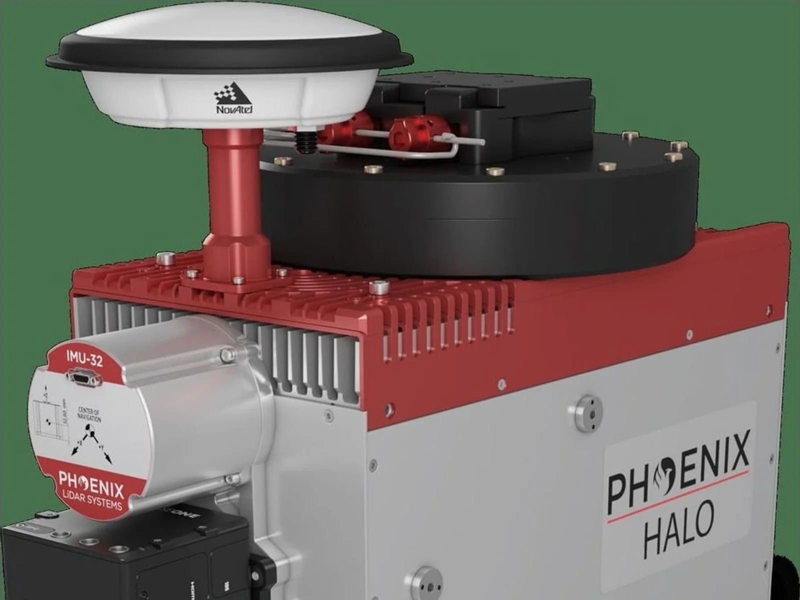
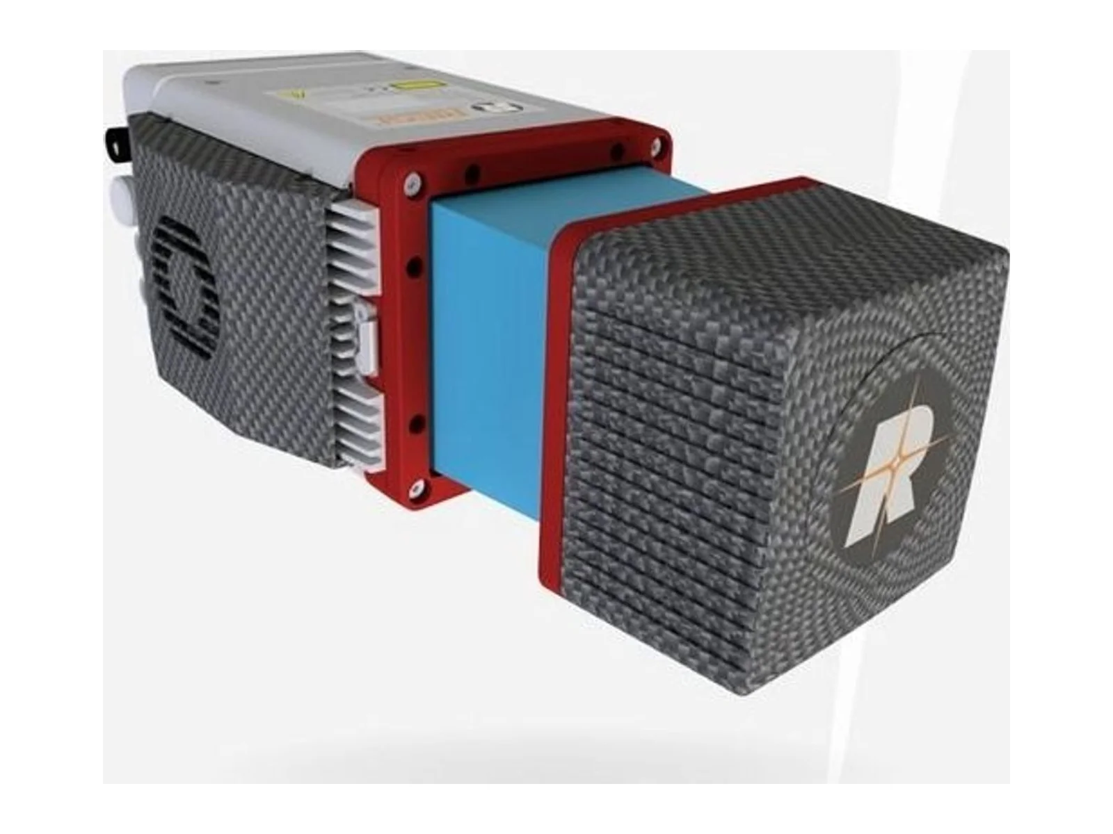
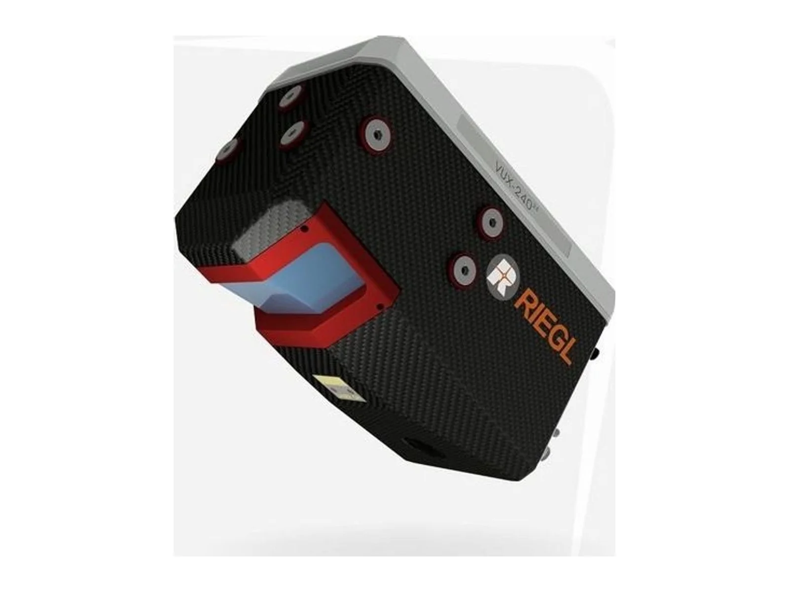
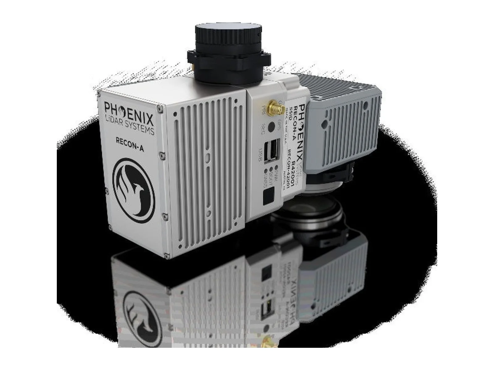
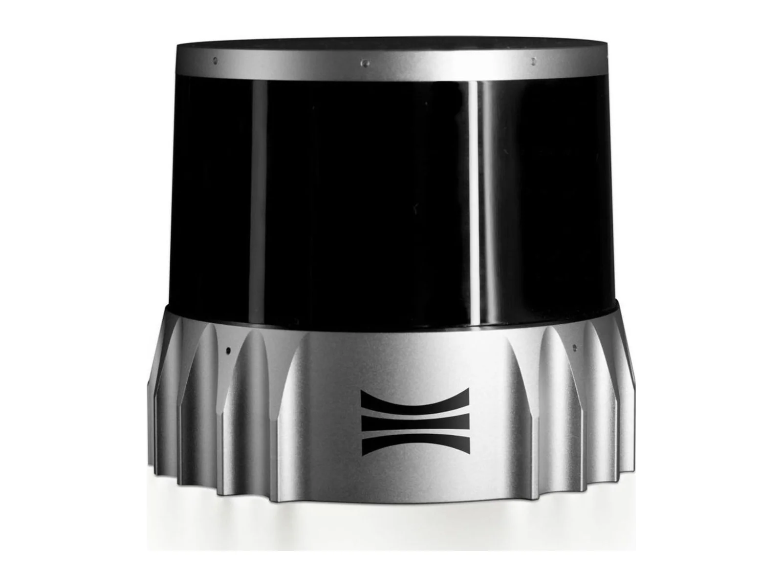
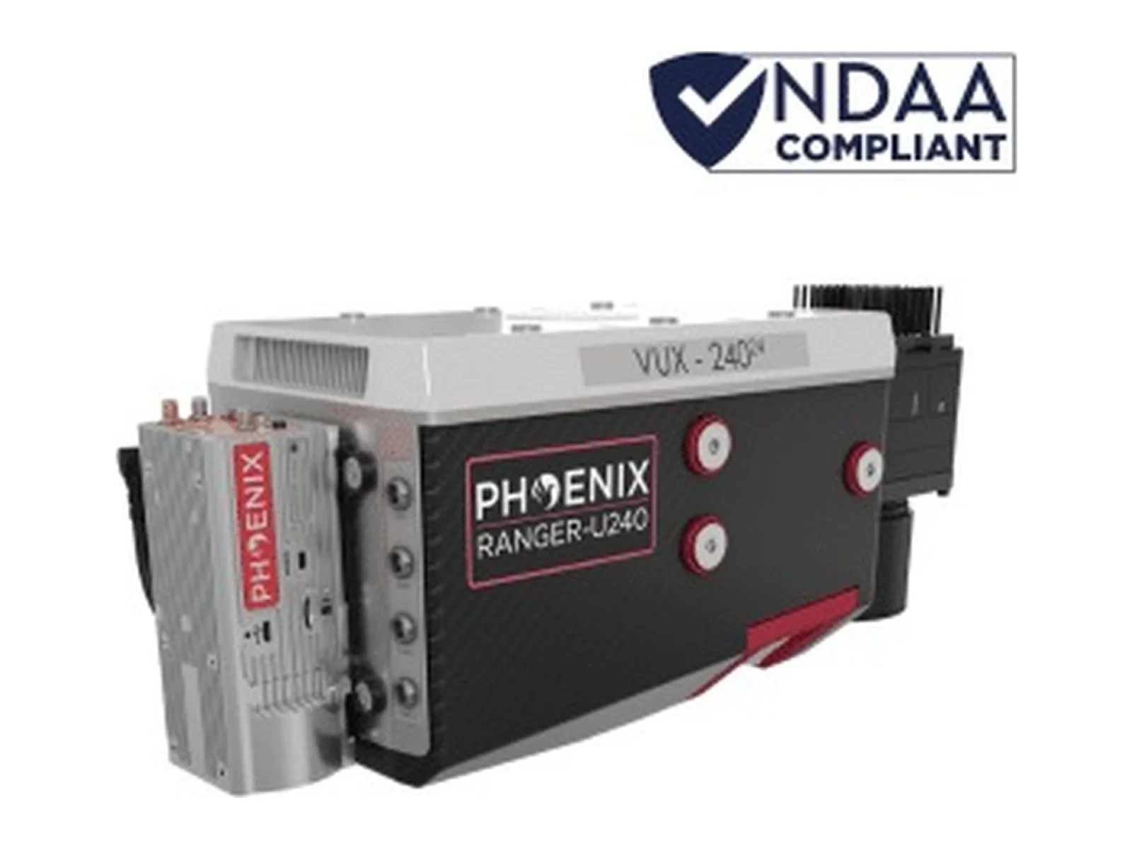
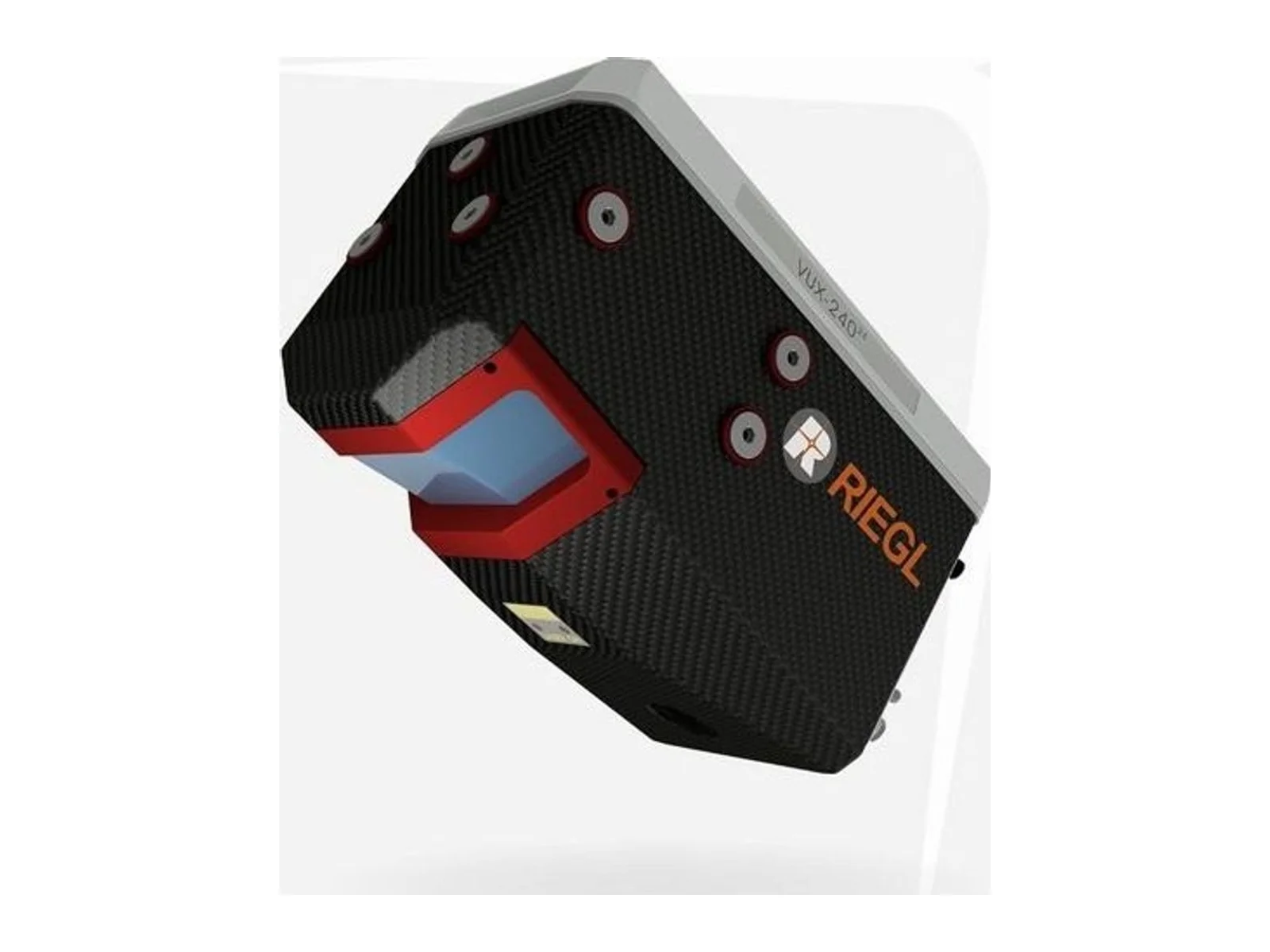
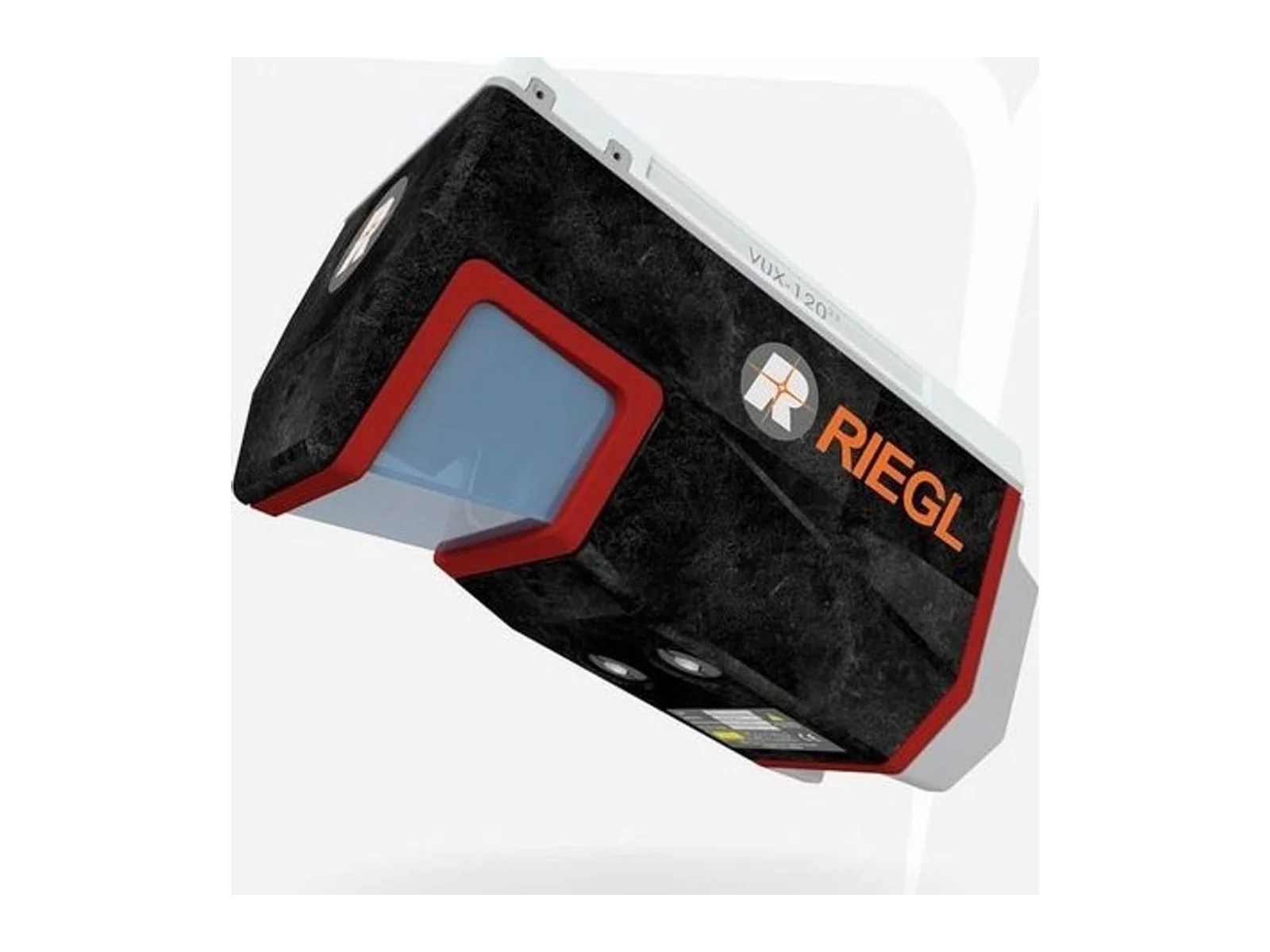
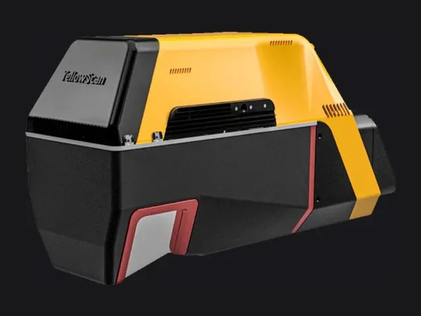
Examples include RIEGL, YellowScan, Ouster and Phoenix LiDAR Systems.
Every laser point is placed in space using the aircraft position and attitude at that instant. Errors in attitude become position errors in the point cloud that grow with range, so mapping LiDAR needs a precise INS.
Partly. Some pulses pass through gaps in the canopy and reach the ground. Sensors that record multiple returns per pulse capture both vegetation and terrain.
Photogrammetry builds 3D models from overlapping photos and needs visible texture and light. LiDAR measures distances directly, works in low light and penetrates vegetation better, but costs more.
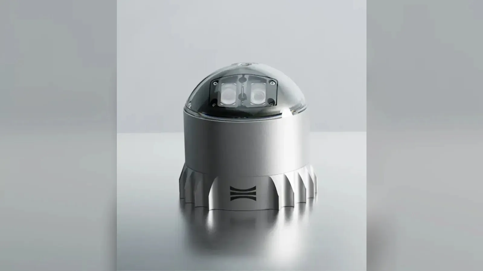
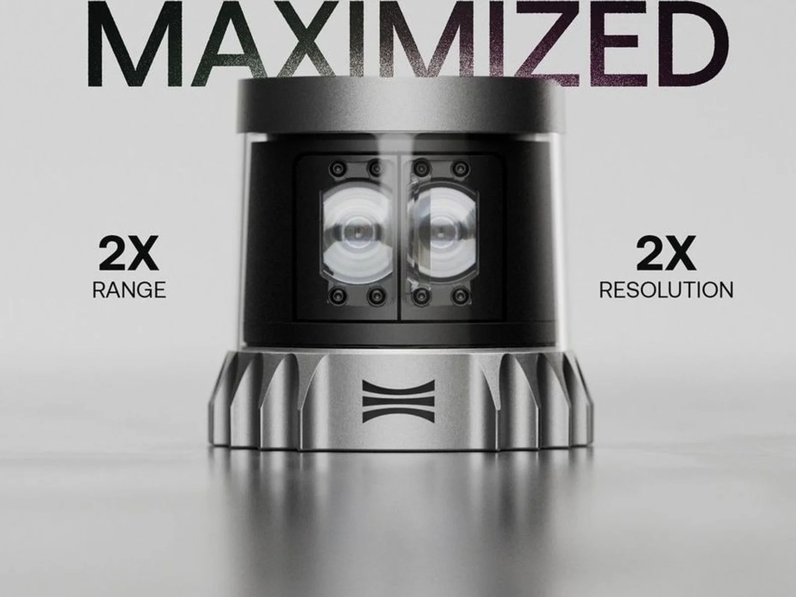
Ouster's REV7 lidar family, built on the L3 digital chip, spans the OS0, OS1 and OS2 plus the new 180° hemispherical OSDome. Ouster claims higher range and finer precision with no change in sensor size or weight.

Gremsy has signed a memorandum of understanding with South Korean UAV manufacturer NINANO to explore integrating Gremsy's EO/IR camera payloads into NINANO's unmanned platforms. The agreement sets a framework for technical collaboration…
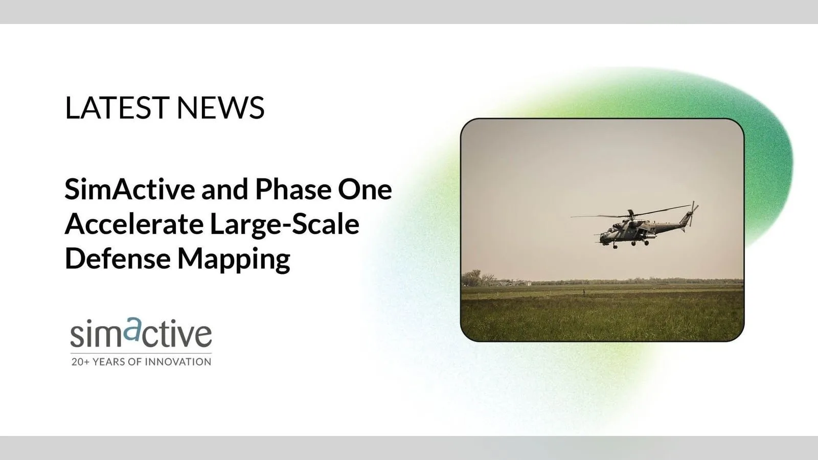
SimActive launches an integrated workflow that brings Phase One aerial imagery into its Correlator3D photogrammetry software for large-scale defense mapping. The link targets the processing stage, where users who collect tens of thousands…