Featured
Synthetic aperture radars that image the ground by day, by night and through clouds.
Filters
Try removing a filter.



Updated November 3, 2026
Synthetic aperture radar (SAR) produces images of the ground with radar instead of light. It works day and night and through clouds, smoke, rain and dust, which makes it valuable for surveillance, maritime patrol, disaster response, and the monitoring of infrastructure and terrain.
The radar transmits pulses sideways as the aircraft flies and records the echoes. Processing combines the echoes collected along the flight path as if they came from a very long antenna, the “synthetic aperture”, which gives fine resolution from a small antenna.
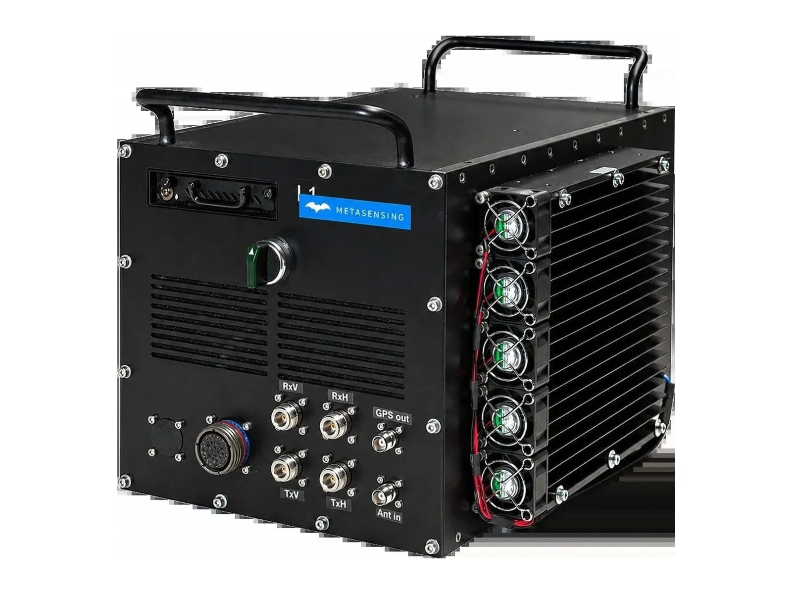
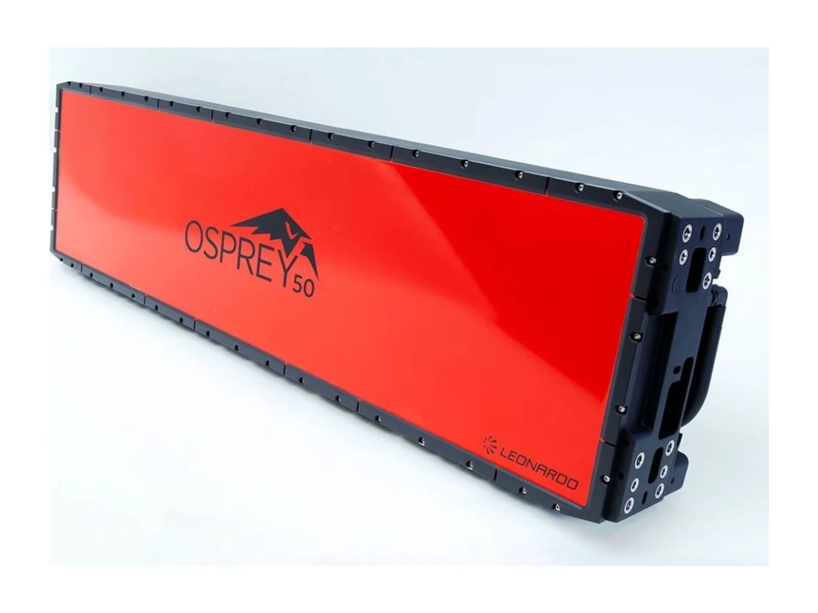
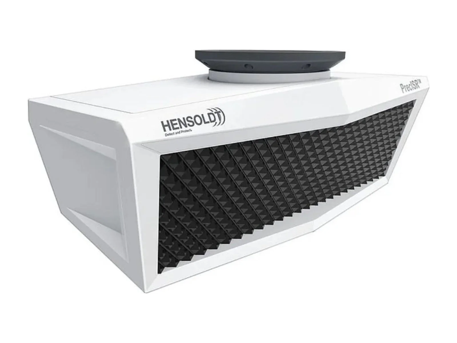
Examples include IMSAR, Leonardo, Hensoldt and MetaSensing.
Yes. Radar wavelengths pass through clouds, smoke, fog and rain, so SAR produces images in conditions where optical and thermal cameras cannot.
Compact SAR systems on UAVs can reach sub-metre and even decimetre-level resolution, depending on frequency band, bandwidth and range.
The image is formed by combining echoes along the flight path, so the path must be known very precisely. Uncompensated motion blurs the image.
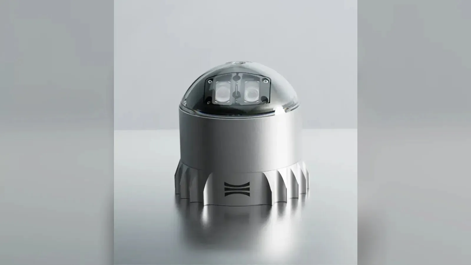
Ouster's REV7 lidar family, built on the L3 digital chip, spans the OS0, OS1 and OS2 plus the new 180° hemispherical OSDome. Ouster claims higher range and finer precision with no change in sensor size or weight.

Gremsy has signed a memorandum of understanding with South Korean UAV manufacturer NINANO to explore integrating Gremsy's EO/IR camera payloads into NINANO's unmanned platforms. The agreement sets a framework for technical collaboration…

SimActive launches an integrated workflow that brings Phase One aerial imagery into its Correlator3D photogrammetry software for large-scale defense mapping. The link targets the processing stage, where users who collect tens of thousands…