Featured
BLOS links
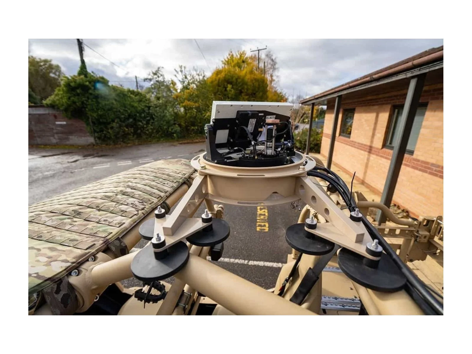
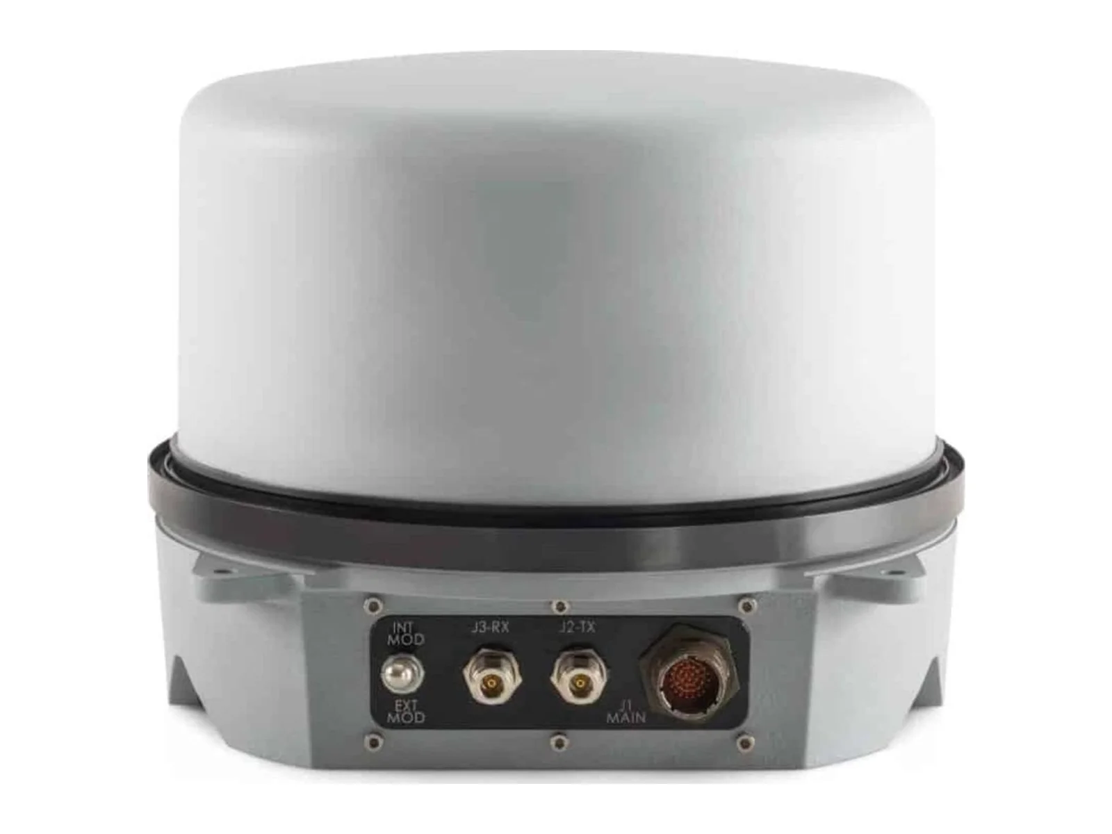
Micro SAT LM beyond-line-of-sight connectivity product
- Grade
- Professional
- Market
- Dual-use
- Availability
- In production
Beyond line-of-sight communications over satellite and cellular networks for long-range operations.
Filters

Try removing a filter.



Updated November 3, 2026
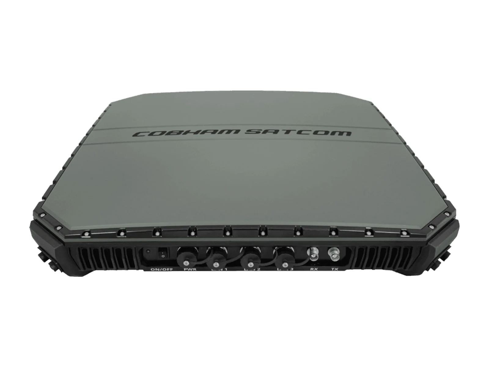
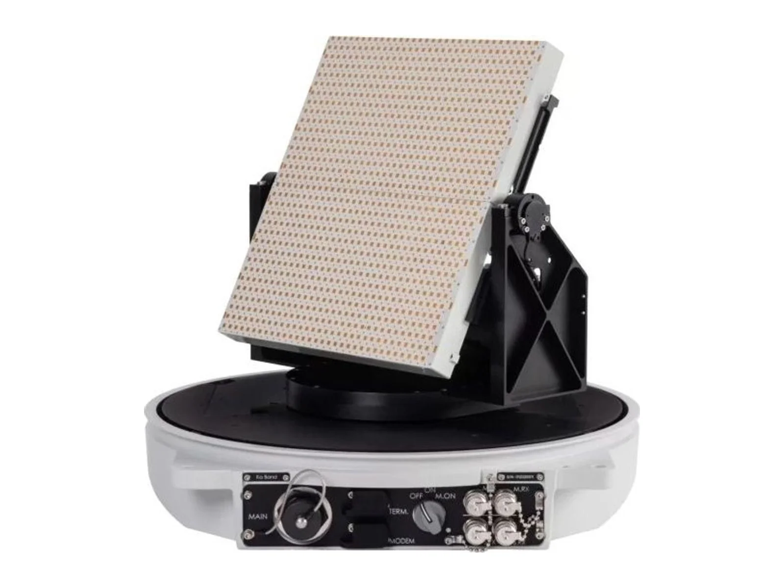
Beyond line-of-sight (BLOS) links keep the aircraft connected when it is beyond the range of a direct radio link: over the horizon, behind terrain or hundreds of kilometres away. They use satellite networks or terrestrial cellular networks, and are essential for long-range and BVLOS operations.
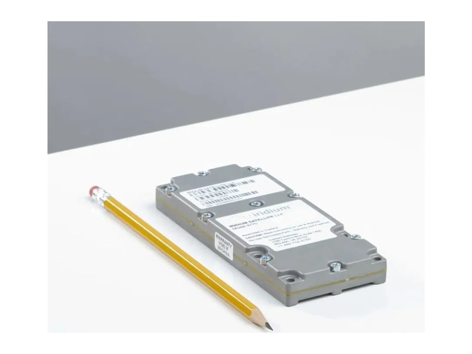
For C2 and telemetry on long-range UAVs, a compact LEO terminal is often enough. For live video beyond line of sight, broadband satellite or cellular are needed. Many operators combine a LOS link for the area around the base with a BLOS link for the rest of the mission.
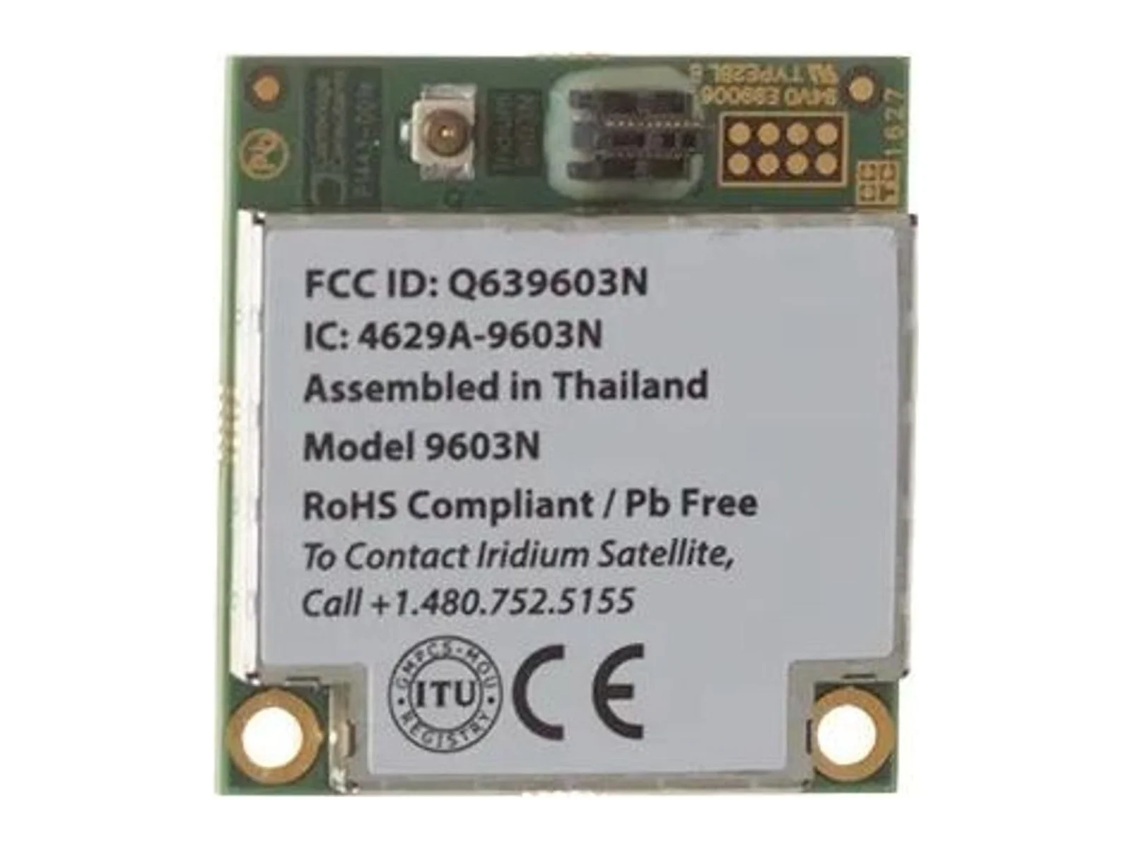
Examples include Iridium, Viasat (Inmarsat), Cobham Satcom, Elsight and Get SAT.
LEO satellites orbit close to the Earth, so terminals can be small and latency is low, and constellations cover the whole planet. GEO satellites stay over one point at high altitude, offer high throughput but need larger antennas and have higher latency.
Yes, where coverage exists and regulations allow it. Cellular links are a cheap way to fly beyond line of sight, but coverage at altitude and in remote areas is not guaranteed, so they are often paired with another link.
For manual piloting, high latency is difficult. For automated flight with the remote pilot supervising, the latency of satellite links is generally acceptable, especially with LEO services.

Honeywell Aerospace detailed on May 5, 2022 a test of a Primary, Alternate, Contingency and Emergency (PACE) satcom scheme on its Boeing 757-200 flying testbed, which switched between commercial and military satellite networks in flight…
AeroVironment (AV) will fit Elsight's Halo multilink unit to its Mayhem 10 launched effects system under a new partnership. The aim is to keep the system's communications working in contested environments by combining satellite, cellular…

Mobilicom reports nine tier-1 design wins for its SkyHopper datalinks and ICE cybersecurity software, plus $2.2 million in purchase orders tied to a U.S. loitering munition program of record. One program already ships monthly, and the…