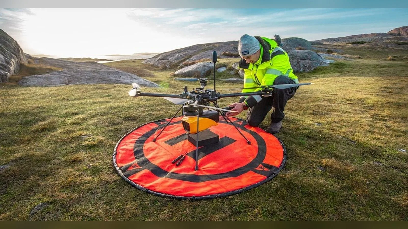
Mapper+ is an airborne LiDAR system for UAV mapping, with published system accuracy of 4 cm and precision of 3.5 cm. Its mapping payload integrates laser scanning with navigation data, while flight height and target conditions determine survey coverage.
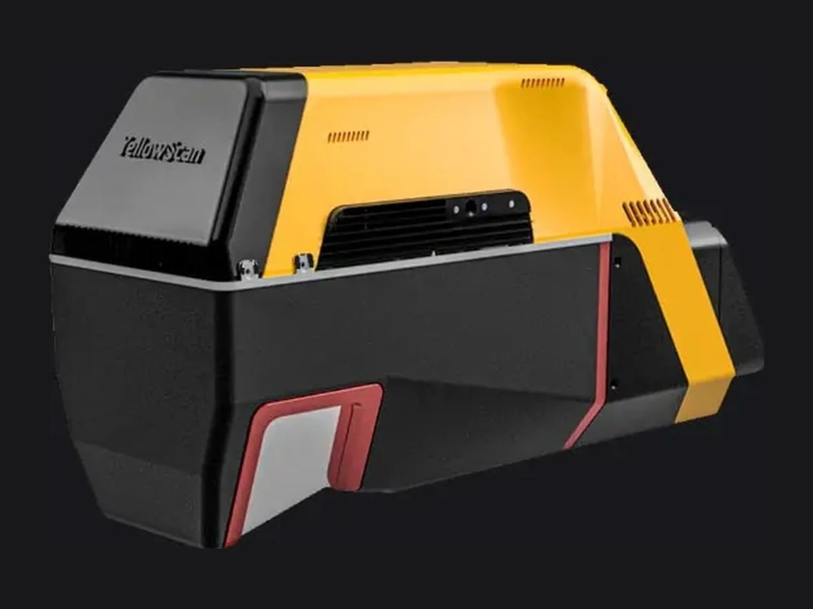
The YellowScan Mapper+ is a compact airborne LiDAR system for UAV mapping, made by YellowScan of France. It combines a Livox AVIA laser scanner with an Applanix APX-15 UAV GNSS-inertial solution in one payload, so the point cloud is georeferenced directly, and it records up to three echoes per laser shot.
The Mapper+ is meant for mapping missions that need high point density at a moderate cost, such as topographic survey, powerline and vegetation corridors, construction and engineering projects, and environmental monitoring. Its low mass allows it to be carried by a wide range of multirotor and other UAV platforms, and YellowScan keeps a list of compatible integrations.
The key figures are as follows. System accuracy is 4 cm and system precision is 3.5 cm, quoted at 100 m above ground level. The laser range is up to 230 m, and the scanner field of view is 70.4 degrees x 4.5 degrees. The scanner fires up to 240,000 shots per second at a scanning frequency of up to 10 Hz. At 100 m AGL and a flight speed of 10 m/s, the point density is 170 points per square metre. Operating speed ranges from 5 to 20 m/s with a flying height of up to 100 m, so projects needing higher flight speed are suited to this system. Multiple echoes per shot help the data penetrate light vegetation.
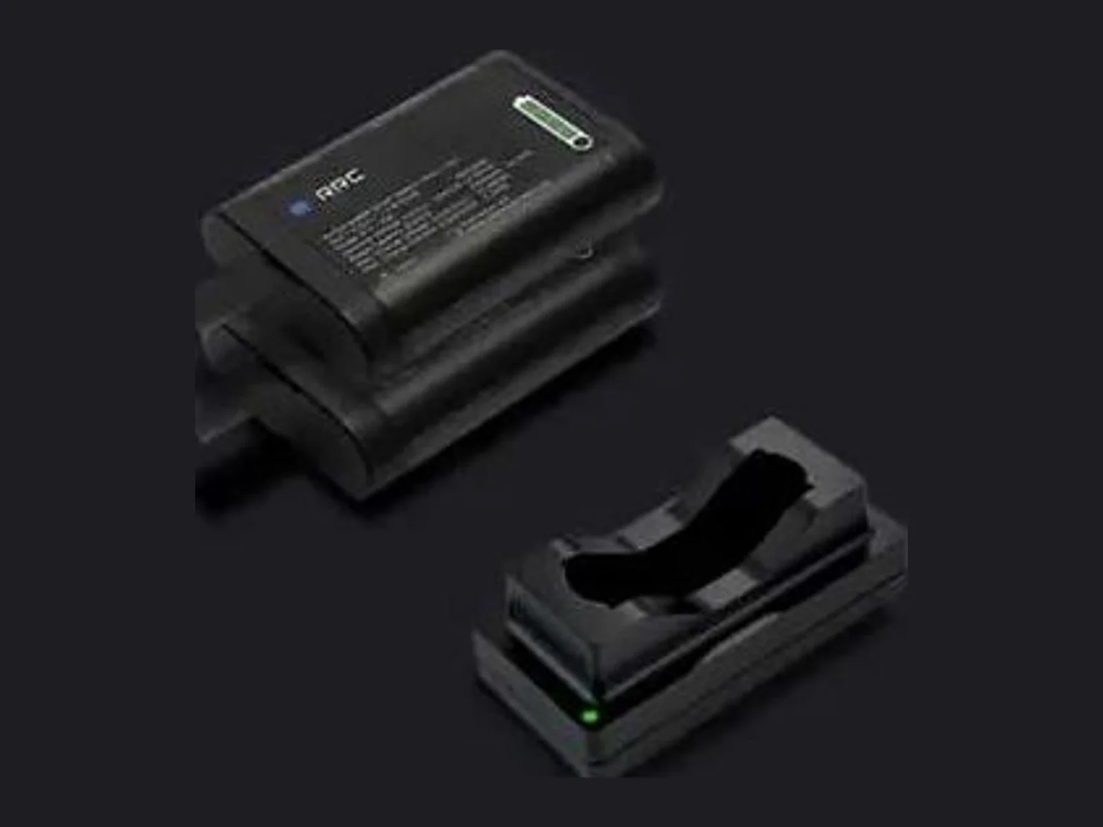
Physical and electrical characteristics for the installation: the unit measures 150 x 104 x 132 mm (L x W x H) and weighs 1.1 kg (2.4 lbs) without battery. Power consumption is 35 W and the operating temperature range is -10 to +40 degrees C. The data interface is USB. Power and set-up can be taken from the UAV through Skyport or Gremsy connectors, or from an integrated battery. An RGB camera module, offered with a 61 MP or a 26 MP single camera, can be added to colourise the point cloud, and a GNSS antenna kit is available for the DJI M400.
Each system is calibrated before shipment and comes with a boresight calibration certificate. YellowScan delivers a two-day training, in person or online, and a year of technical support. The data is processed in the maker's CloudStation software, which extracts, processes and displays point clouds after flight acquisition.
Typical applications are corridor mapping for utilities, landslide and terrain monitoring, forestry and agriculture, construction and engineering surveys and digital twins of infrastructure.
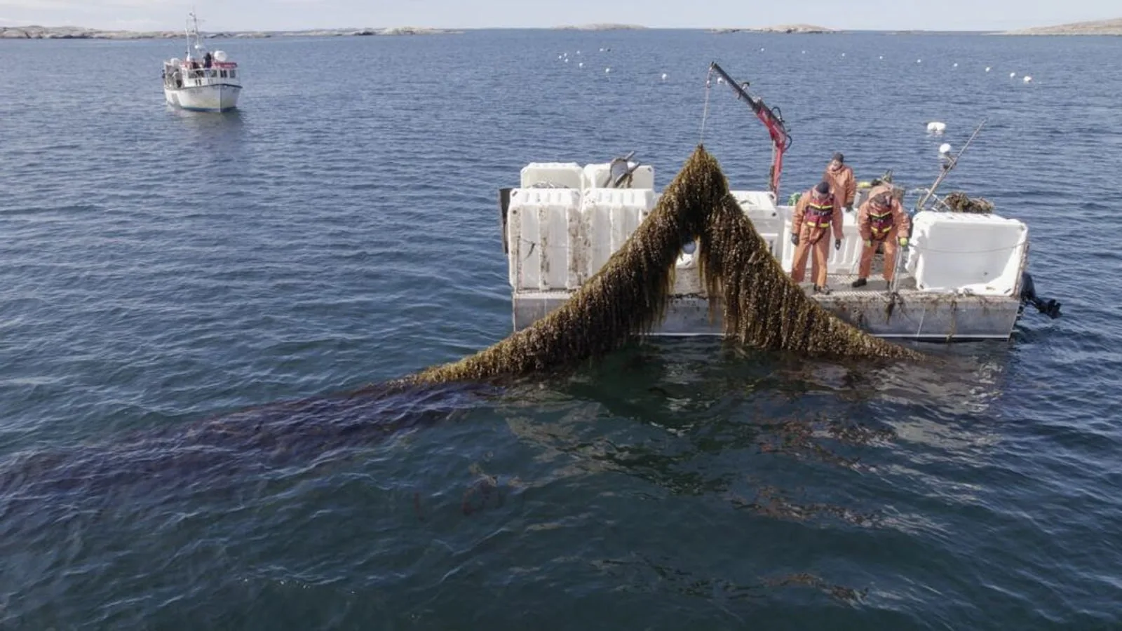
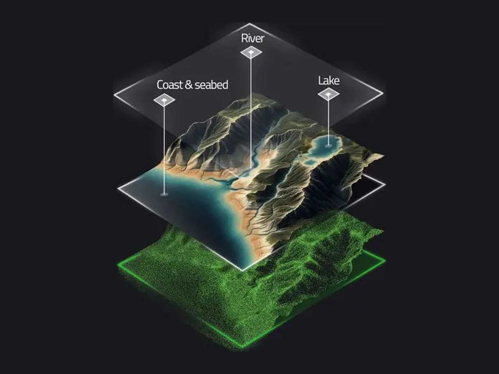
YellowScan and VisionAir Production AB join SeaDeep, a European aquaculture project, to study the Navigator topo-bathymetric LiDAR on sea farms and algae production sites. The drone-borne sensor maps above and below the waterline within a…
YellowScan joins the SeaDeep project with VisionAir Production AB to study how its Navigator topo-bathymetric LiDAR can monitor sea farms and seaweed production sites. The EU co-funded programme, which links 30 partners, aims to develop…
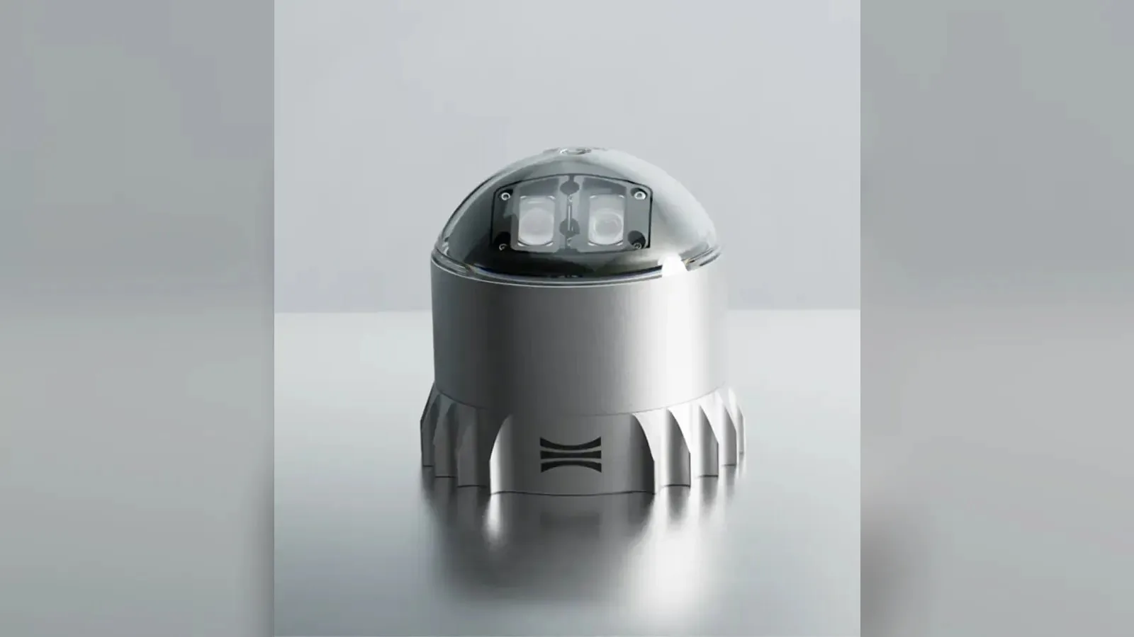
Ouster's REV7 lidar family, built on the L3 digital chip, spans the OS0, OS1 and OS2 plus the new 180° hemispherical OSDome. Ouster claims higher range and finer precision with no change in sensor size or weight.










 Featured
 Featured
 Featured
 Featured
 Featured
 Featured