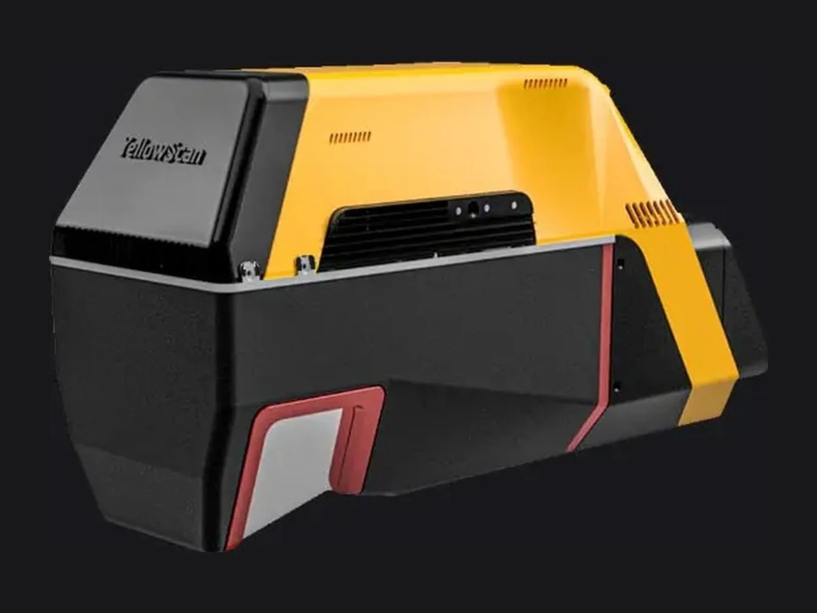
Navigator is a laser ranging sensor that uses laser measurements to capture distances or spatial information. Published mass is 3.7 kg. It supplies range data for an integrated sensing installation, with mounting geometry and the host data interface defined for the intended application.
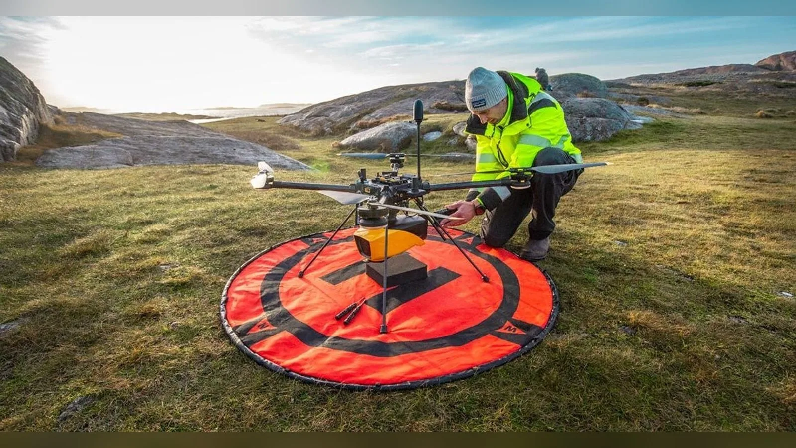
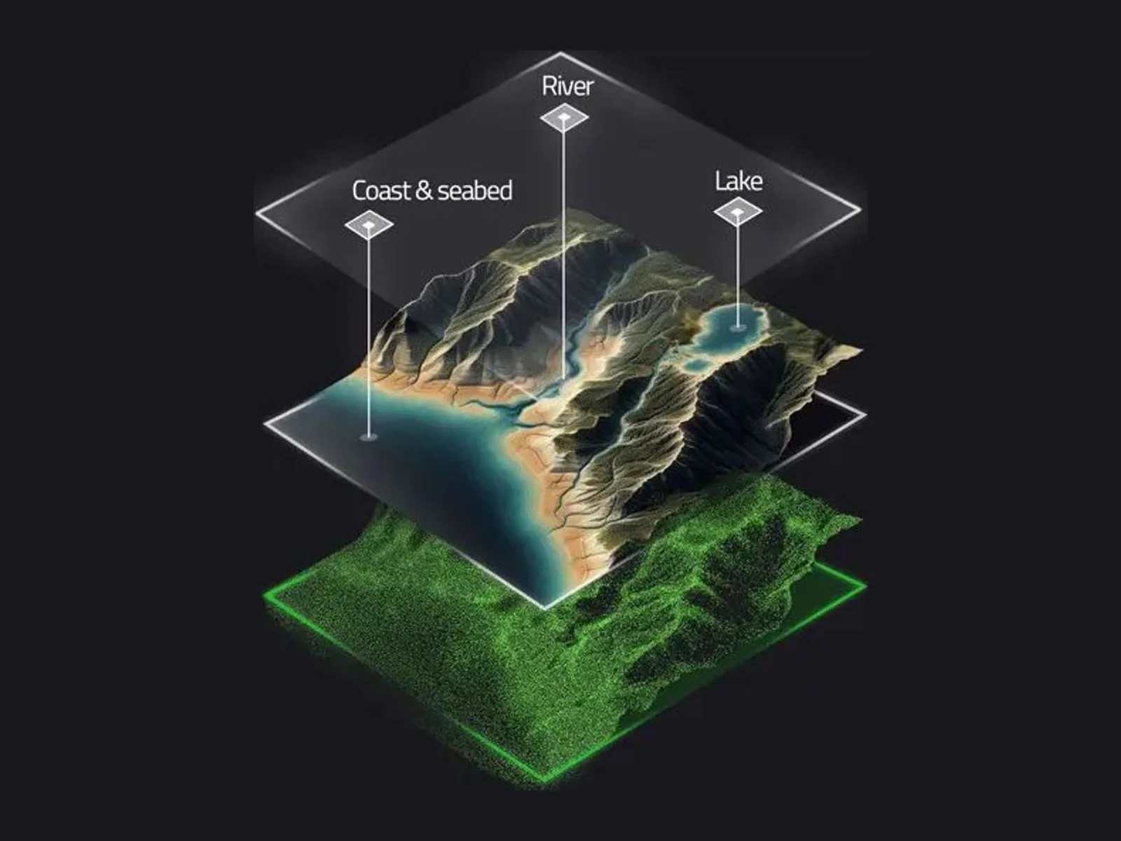
The YellowScan Navigator is a bathymetric LiDAR for unmanned aircraft, a laser scanner that maps shallow water and the surrounding terrain in a single pass. It uses a green laser, because blue-green light penetrates water best, and it is intended for multirotor and helicopter UAVs.
The scanner is developed in-house by YellowScan and is a full-waveform system. It reaches a laser range of up to 120 m, with up to 10 echoes per shot, up to 20,000 shots per second and a scanning frequency of up to 50 Hz. The field of view is 40 degrees, which the maker chose because it is the largest angle at which a green laser still performs effectively underwater. Maximum water depth is 2 Secchi depths, so the achievable depth depends on water clarity; with a Secchi depth of 2.2 m, the system reaches about 4.4 m.
System accuracy and precision are both 3 cm. Typical survey parameters are a maximum altitude of 100 m above ground, a typical flight speed of 5 m/s and a point density of 20 points per square metre at 80 m altitude. A GNSS-inertial solution, the SBG Quanta Micro, is integrated, and an embedded global-shutter camera can be used to colourise the point cloud.
The unit weighs 3.7 kg without battery and measures 350 mm x 160 mm x 190 mm. Power consumption is 120 W, typical autonomy is 45 minutes per battery, and the operating temperature is 0 degrees C to 40 degrees C. The data connection is USB. A quick-release Gremsy attachment simplifies mounting on many drones; however, the system cannot be carried by the DJI M300 or M350 because it exceeds their recommended payload of 2.7 kg.
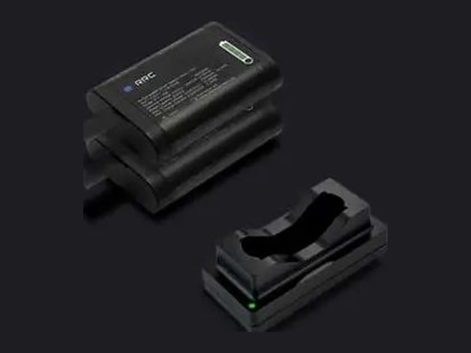
The laser is Class 3B with a nominal ocular hazard distance of 25 m, so laser safety eyewear is supplied and nobody should stand within 25 m of the drone while it is active. The delivery includes a rugged case, two batteries and a charger, a GNSS antenna, two USB keys, a processing licence for SBG Qinertia UAV, a one-year warranty and technical support, and training.
CloudStation software provides automated water classification, water surface detection and underwater point correction for refraction. Applications include river and lake analysis, coastal oceanography, hydraulic structure safety, submarine archaeology, surface water hydrology, dredging and marine works.
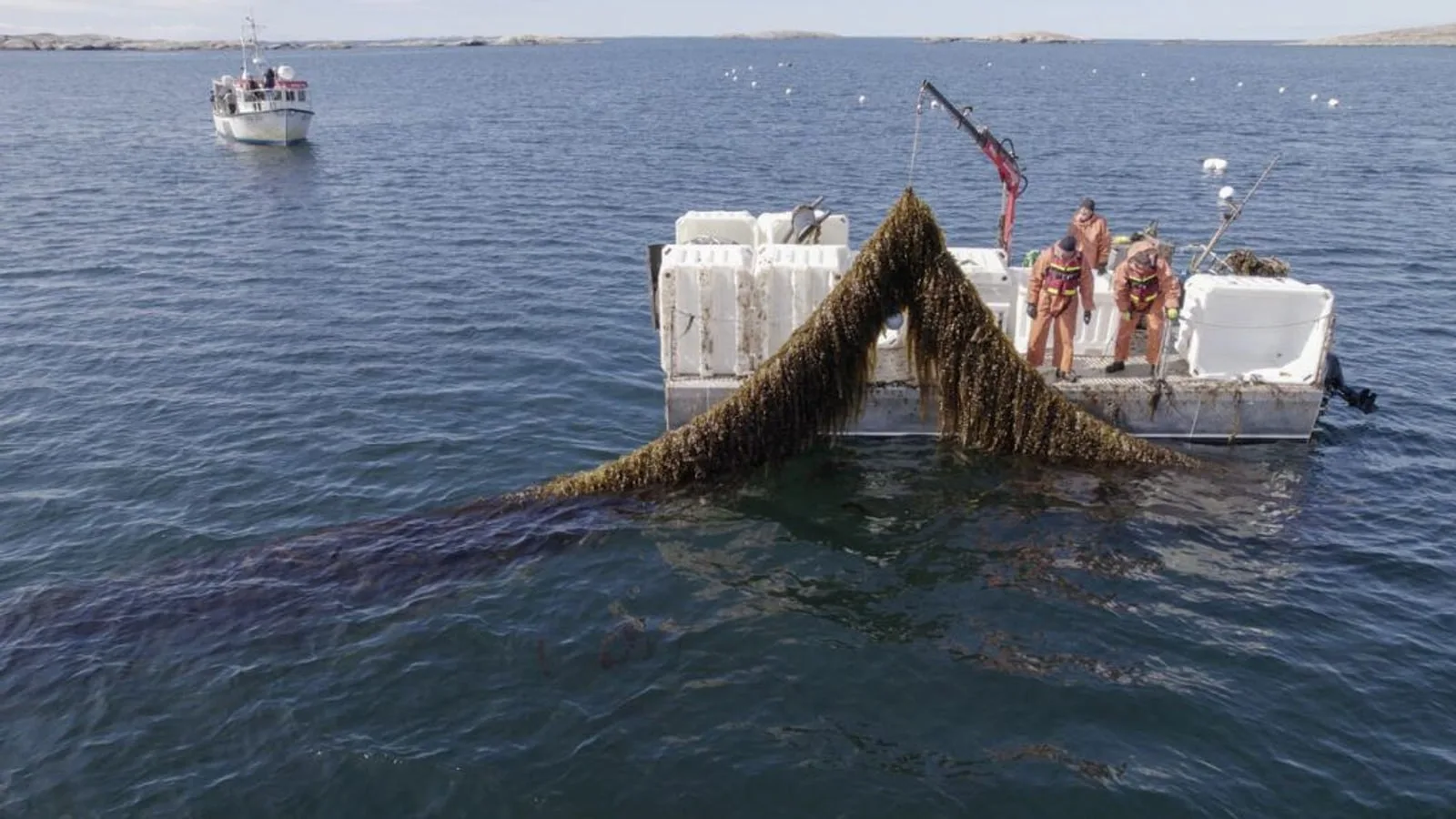
YellowScan and VisionAir Production AB join SeaDeep, a European aquaculture project, to study the Navigator topo-bathymetric LiDAR on sea farms and algae production sites. The drone-borne sensor maps above and below the waterline within a…
YellowScan joins the SeaDeep project with VisionAir Production AB to study how its Navigator topo-bathymetric LiDAR can monitor sea farms and seaweed production sites. The EU co-funded programme, which links 30 partners, aims to develop…
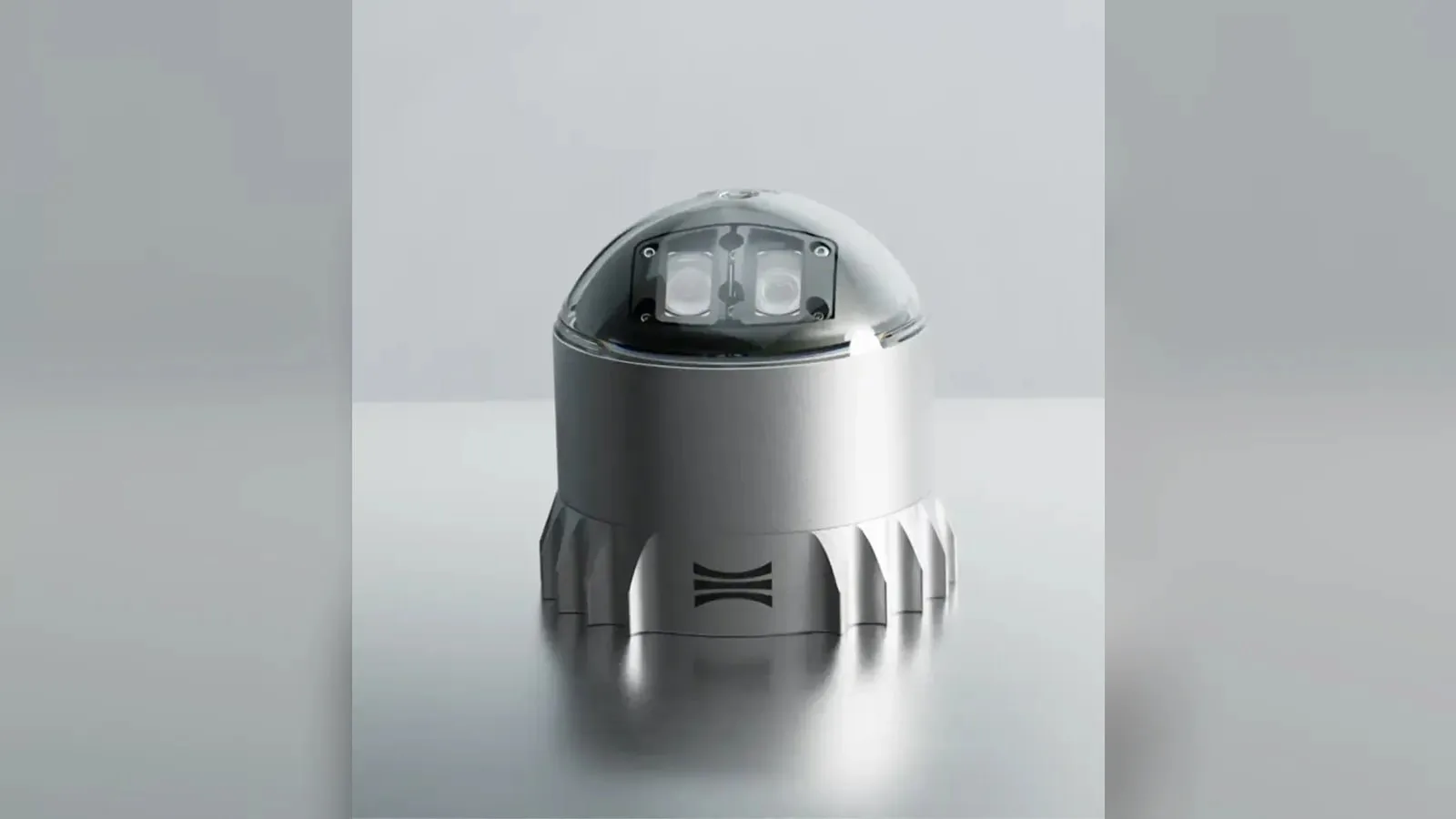
Ouster's REV7 lidar family, built on the L3 digital chip, spans the OS0, OS1 and OS2 plus the new 180° hemispherical OSDome. Ouster claims higher range and finer precision with no change in sensor size or weight.










 Featured
 Featured
 Featured
 Featured
 Featured
 Featured