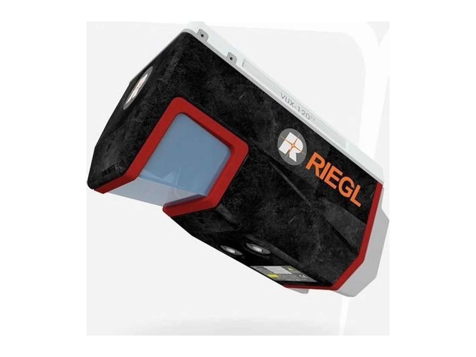
VUX-120 is a laser ranging sensor that uses laser measurements to capture distances or spatial information. It supplies range data for an integrated sensing installation, with mounting geometry and the host data interface defined for the intended application.
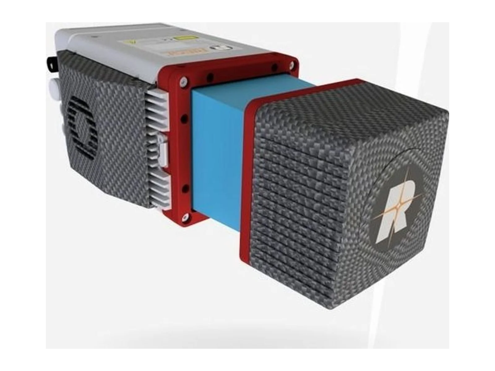
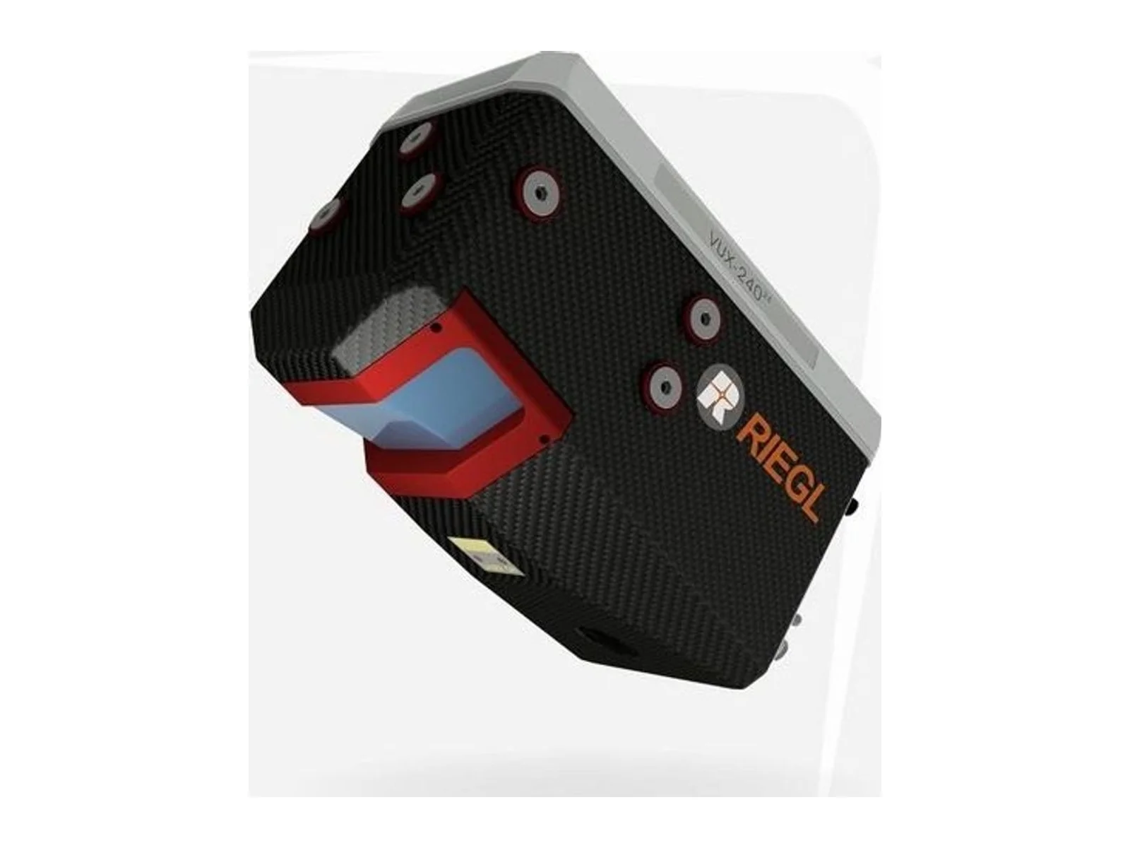
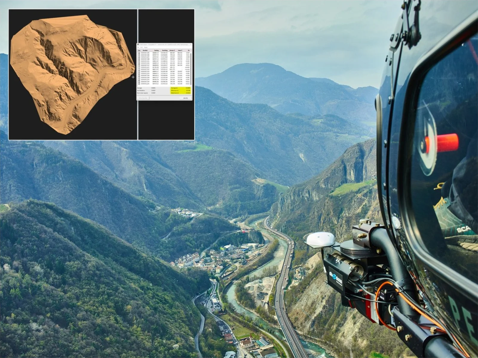
RIEGL VUX-120-23 is a UAV LiDAR sensor from RIEGL, an airborne laser scanner with Nadir/Forward/Backward (NFB) scanning, designed for drones, small manned aircraft and helicopters. It is a lightweight laser ranging sensor with online waveform processing that measures distances to the ground, structures and vegetation for UAV-based laser scanning.
In NFB scanning the measuring beam is emitted in turn in three directions: strictly nadir, 10 degrees forward and 10 degrees backward. This gives a more complete record of vertical surfaces and narrow canyons than a nadir-only line scan, and suits high point density corridor mapping, with a field of view of up to 100 degrees.
The key figures are the following. The laser pulse repetition rate goes up to 2.4 MHz, the measurement rate up to 2,000,000 measurements per second and the scan speed up to 400 lines per second. Accuracy is 10 mm and precision is 5 mm, and the minimum range is 5 m. Maximum range depends on the pulse repetition rate and target reflectivity: for targets of 80% reflectivity it is 1,430 m at 150 kHz and 400 m at 2,400 kHz, and the number of targets per pulse is up to 32 at 150 and 300 kHz, falling to 5 at 2,400 kHz. Operating flight altitude is up to 720 m (2,350 ft). The integrator trades range against point density by choosing the repetition rate.
Integration: mass is 2.3 kg and the dimensions are 242 x 117 x 126 mm with the interface box. Supply voltage is 11 to 34 V and typical power consumption is 45 W. Interfaces are Ethernet, RS-232 and discrete I/O, with a mechanical and electrical interface for an IMU/GNSS system and connections for up to two external cameras. The scanner has no integrated GNSS/INS and no integrated camera; RIEGL offers the RiLOC-F IMU/GNSS unit as an attached option. Data are stored on a 2 TByte internal SSD and a removable CFast card. Operating temperature is -10 to 40 degrees C and the ingress protection is IP64.
The laser is a Class 1 laser product per IEC 60825-1. Typical applications are corridor mapping such as power line, railway and pipeline inspection, topography in open-cast mining, surveying of urban environments, archaeology and cultural heritage documentation, and agriculture and forestry. Software packages RiACQUIRE, RiPROCESS and RiUNITE are available for acquisition, processing and point cloud management.
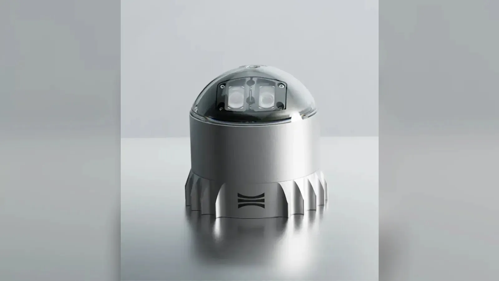
Ouster's REV7 lidar family, built on the L3 digital chip, spans the OS0, OS1 and OS2 plus the new 180° hemispherical OSDome. Ouster claims higher range and finer precision with no change in sensor size or weight.
Gremsy has signed a memorandum of understanding with South Korean UAV manufacturer NINANO to explore integrating Gremsy's EO/IR camera payloads into NINANO's unmanned platforms. The agreement sets a framework for technical collaboration…
SimActive launches an integrated workflow that brings Phase One aerial imagery into its Correlator3D photogrammetry software for large-scale defense mapping. The link targets the processing stage, where users who collect tens of thousands…











 Featured
 Featured
 Featured
 Featured
 Featured
 Featured
 Featured
 FeaturedLiDAR