Voyager is a laser ranging sensor that uses laser measurements to capture distances or spatial information. Published mass is 3.5 kg. It supplies range data for an integrated sensing installation, with mounting geometry and the host data interface defined for the intended application.
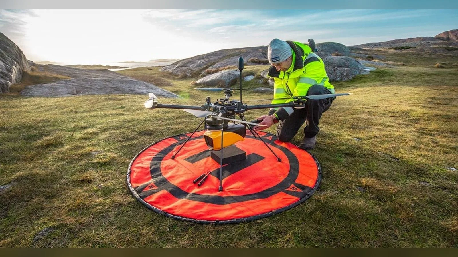
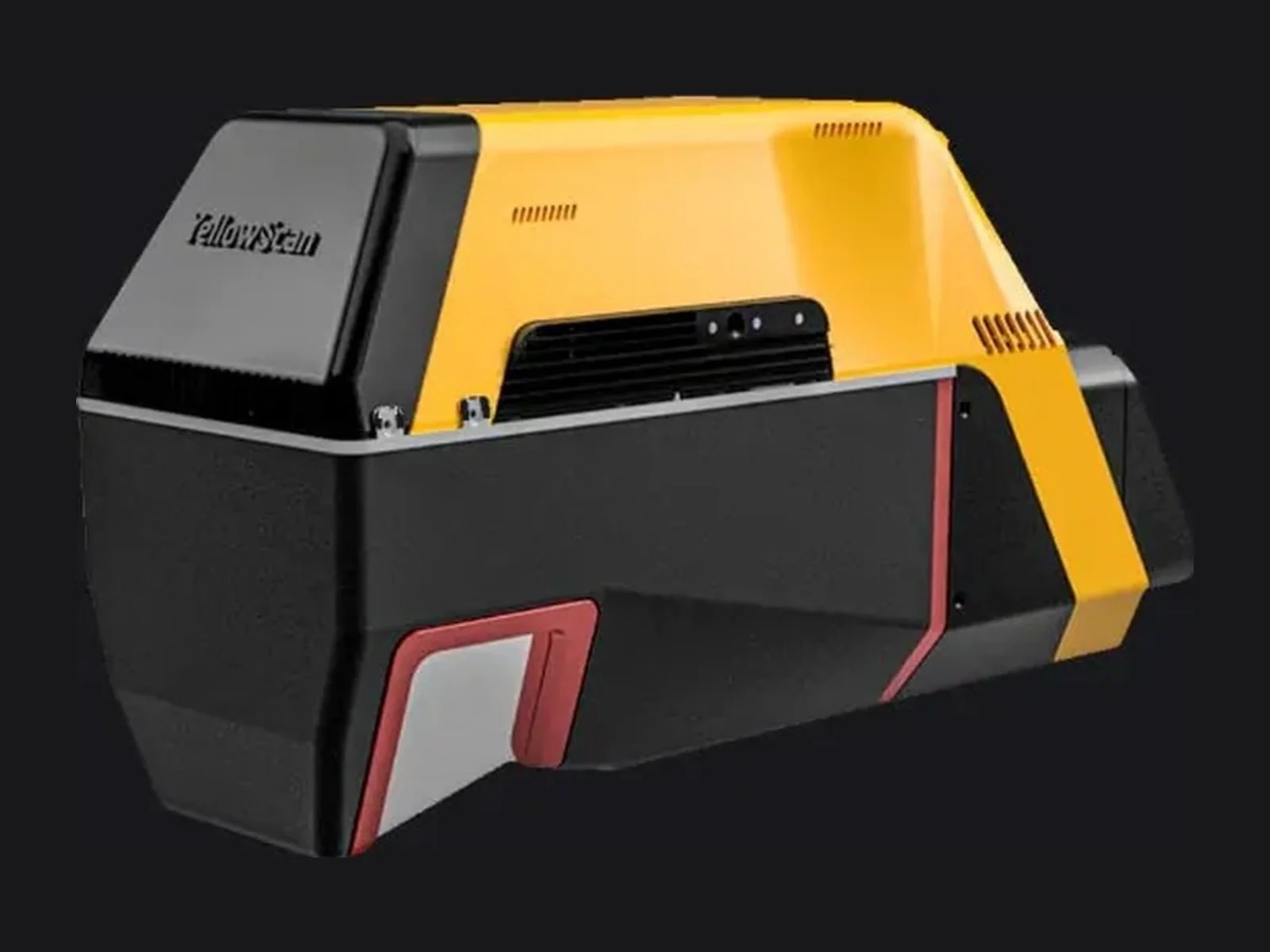
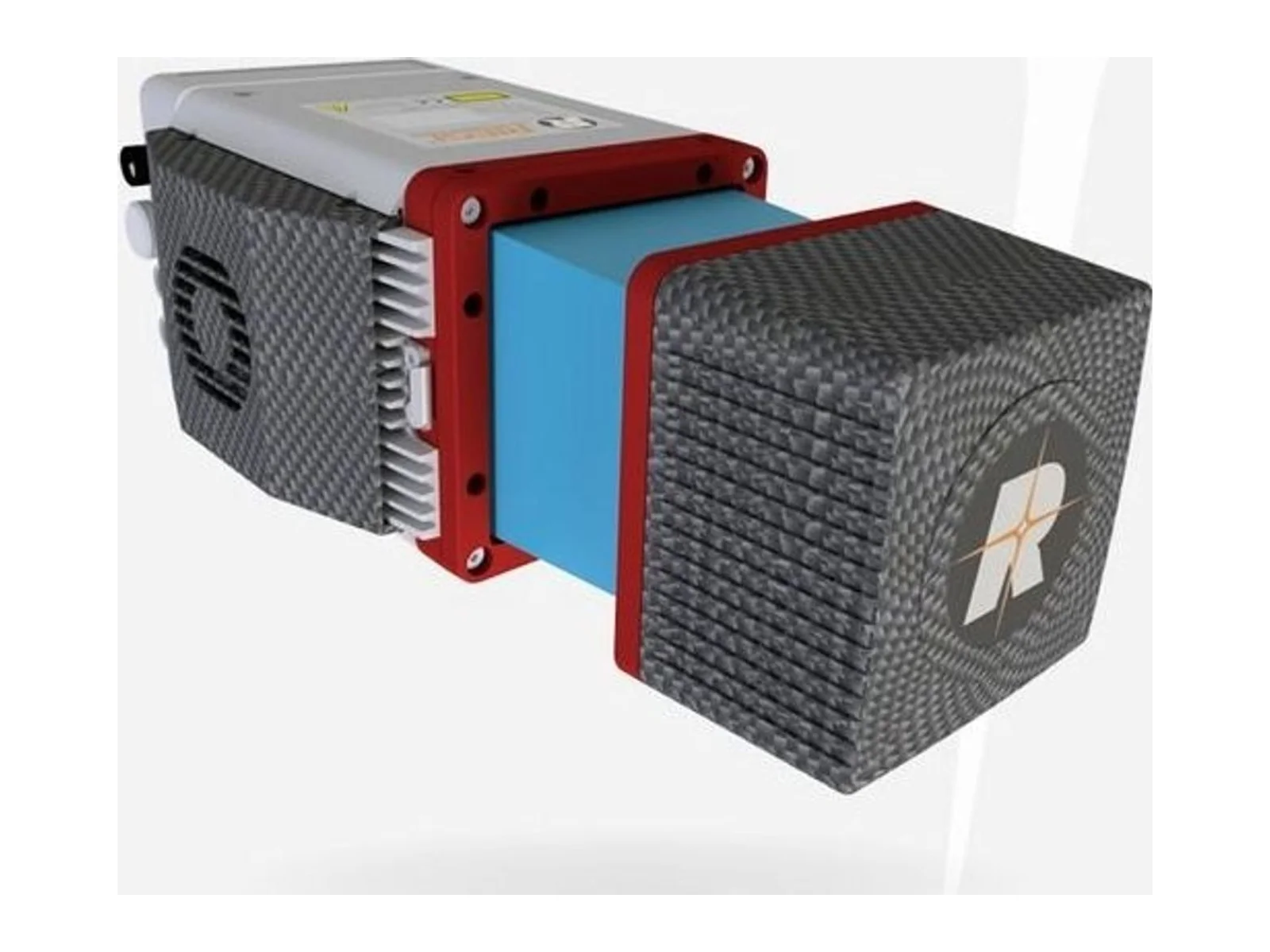
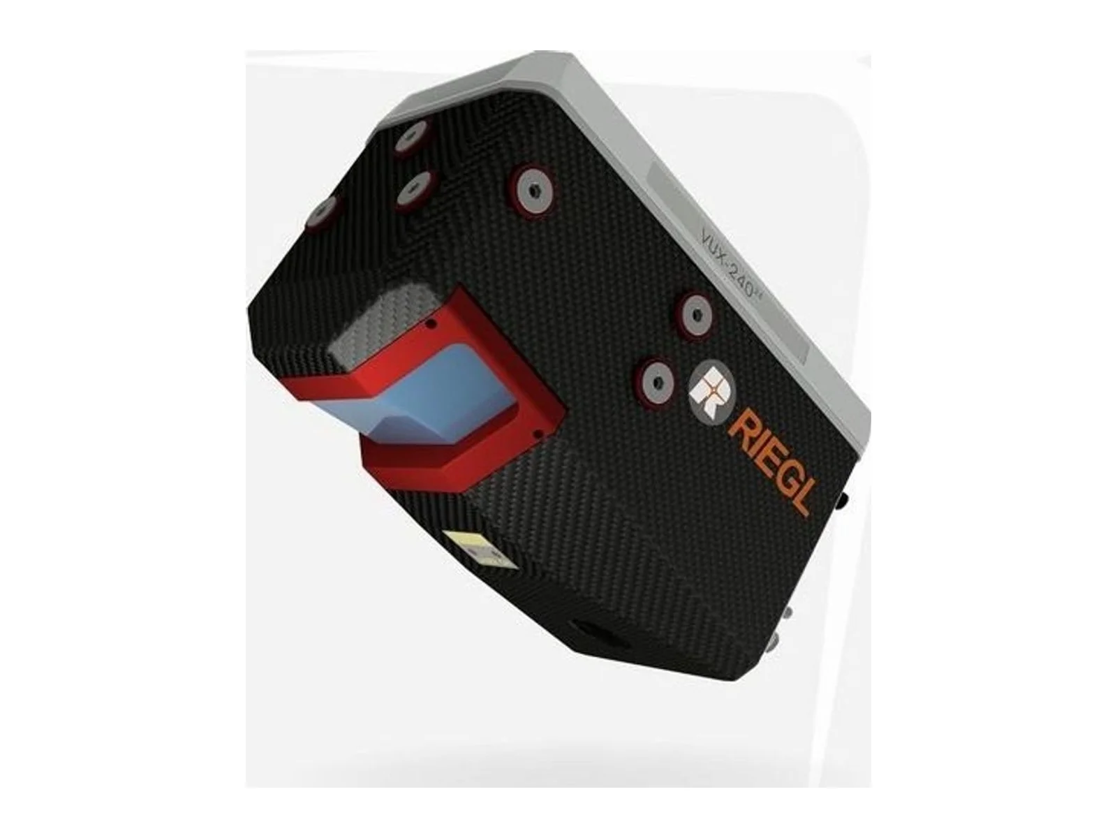
The YellowScan Voyager is a laser ranging sensor system for aerial mapping: an integrated LiDAR payload that combines a RIEGL VUX-120 laser scanner with an Applanix GNSS-inertial solution (AP+ 30 AIR or AP+ 50 AIR). It is built for high-altitude surveys from multirotor and helicopter drones, fixed-wing aircraft and light crewed aircraft, and is offered with an optional RGB camera module.
The key figures describe the range and quality of the point cloud. The laser range is up to 1250 m, and the maximum altitude above ground is 440 m, which allows wide strips to be flown at height and fewer flight lines per project. The scanner has a field of view of 100 degrees by 20 degrees, a pulse rate of up to 2,400,000 shots per second, a scanning frequency of up to 400 Hz (selectable) and up to 32 echoes per shot. Echo count matters over vegetation, since several returns from one pulse separate canopy from ground. The maker states a point density of 24 points per square metre at 300 m above ground and 30 m/s. System accuracy is 10 mm and precision is 5 mm.
The integrated GNSS/INS provides the position and orientation of the scanner, so georeferenced point clouds come from the system without a separate navigation unit. A typical flight speed of 10 m/s is given for planning missions.
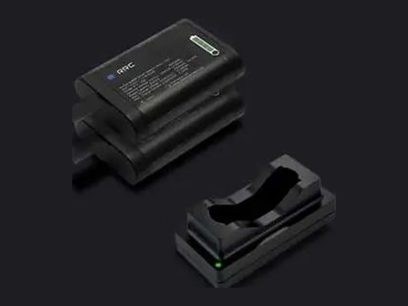
For integration, the unit measures 369 mm long, 117 mm wide and 183 mm high and has a mass of 3.5 kg excluding the battery. The typical power consumption is 98 W and the autonomy is about one hour, with batteries included. The operating temperature range is -10 to +40 degC. The delivery includes a rugged case, two batteries with a charger, a GNSS antenna and storage keys, and optional mounting brackets are listed for DJI Matrice 400 and Matrice 600 platforms, together with landing gear extenders. Processing uses POSPac MMS software.
Typical applications are topographic mapping, powerline corridor mapping and vegetation clearance checks, forestry and mining surveys, and any project that needs the highest point density from a high flying altitude.
Specifications
Specifications · Voyager laser ranging sensor
General
Grade
Professional
Market
Civil
Platform class
Small UAS (<25 kg), Large UAS (25–150 kg), Manned aircraft
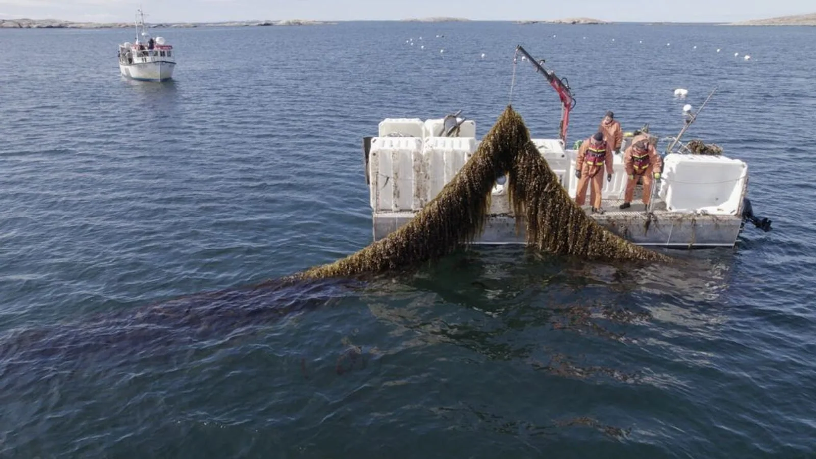
YellowScan and VisionAir Production AB join SeaDeep, a European aquaculture project, to study the Navigator topo-bathymetric LiDAR on sea farms and algae production sites. The drone-borne sensor maps above and below the waterline within a…
YellowScan joins the SeaDeep project with VisionAir Production AB to study how its Navigator topo-bathymetric LiDAR can monitor sea farms and seaweed production sites. The EU co-funded programme, which links 30 partners, aims to develop…
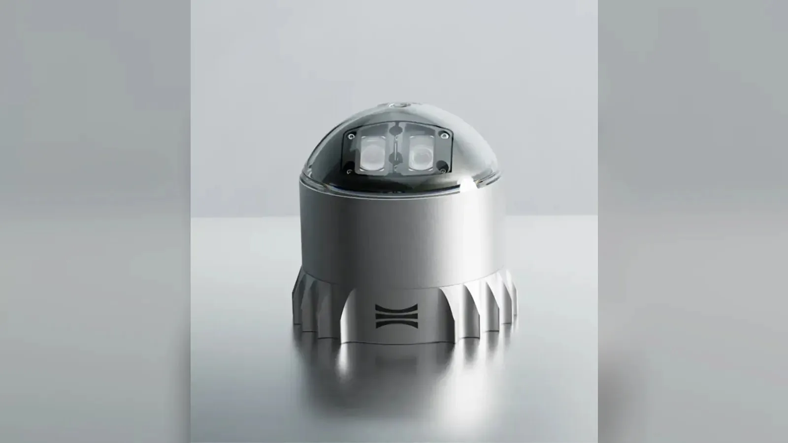
Ouster's REV7 lidar family, built on the L3 digital chip, spans the OS0, OS1 and OS2 plus the new 180° hemispherical OSDome. Ouster claims higher range and finer precision with no change in sensor size or weight.










 Featured
 Featured
 Featured
 Featured
 Featured
 Featured