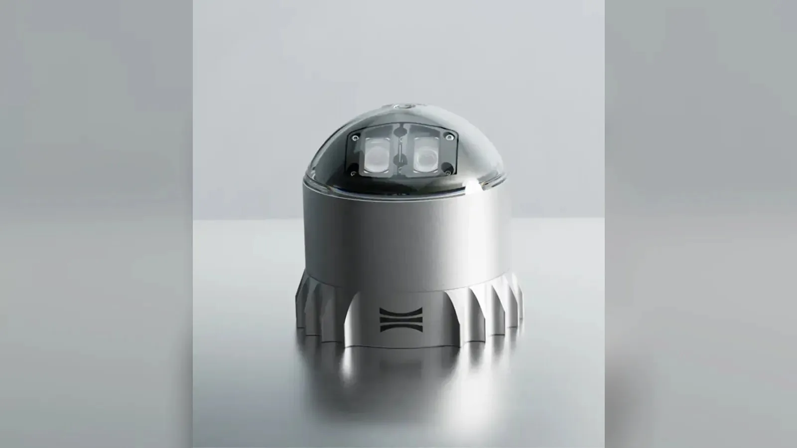
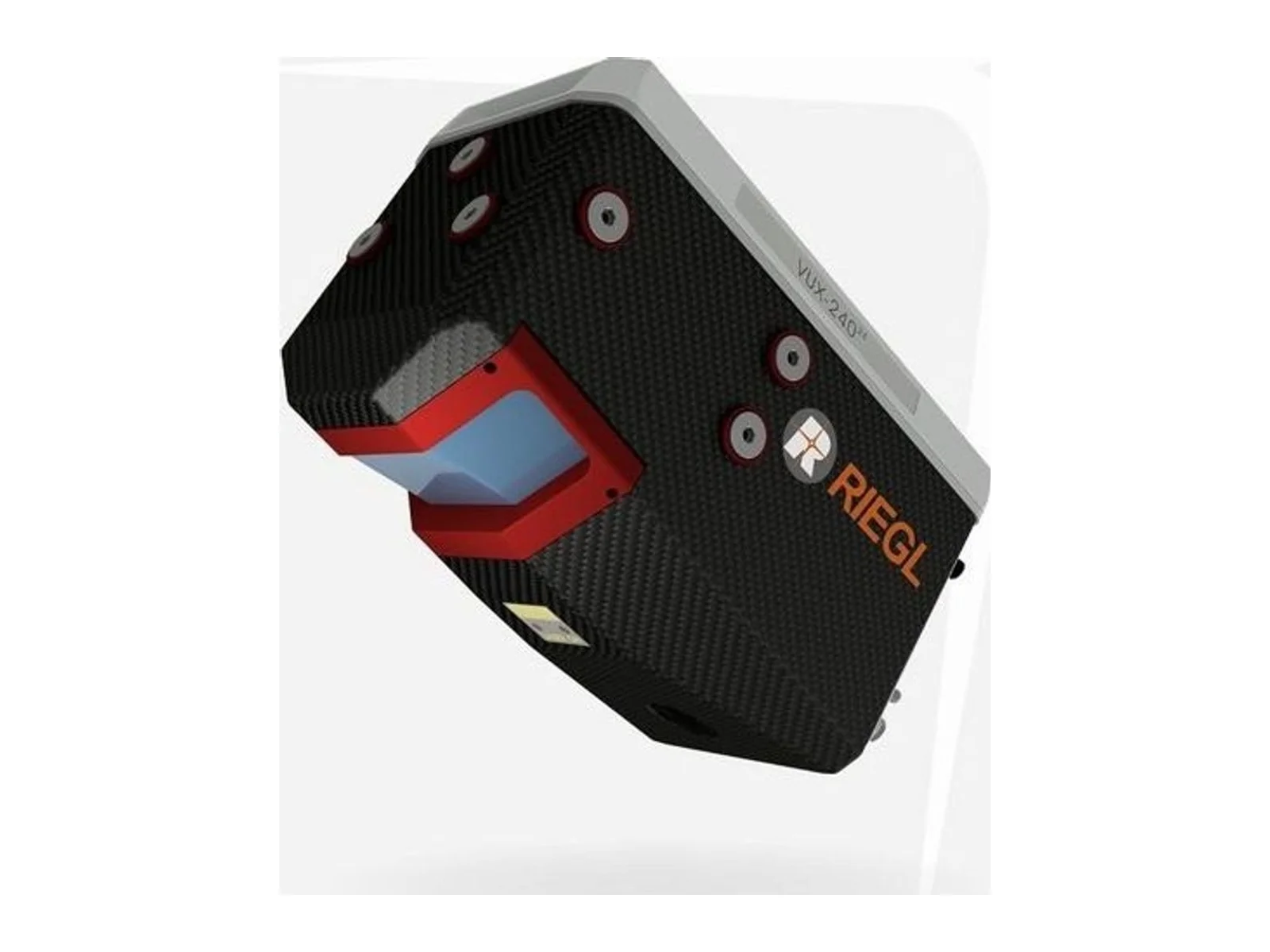
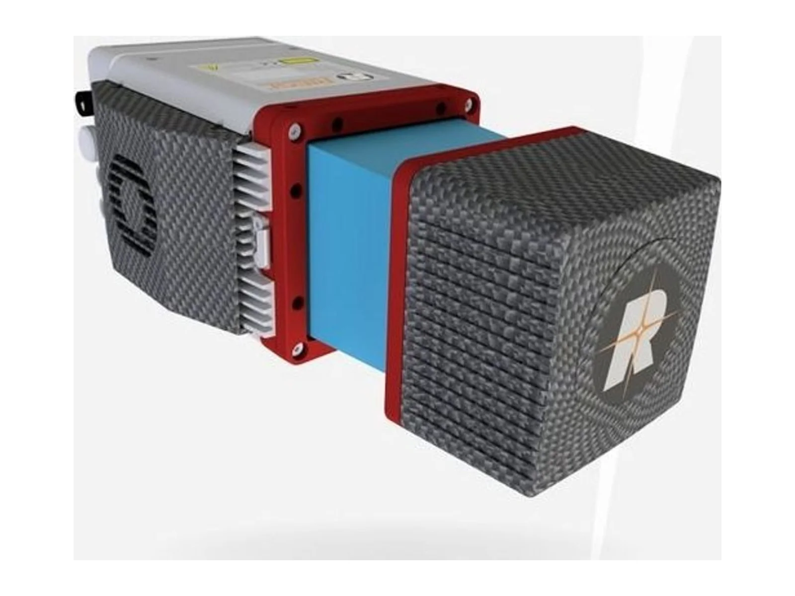
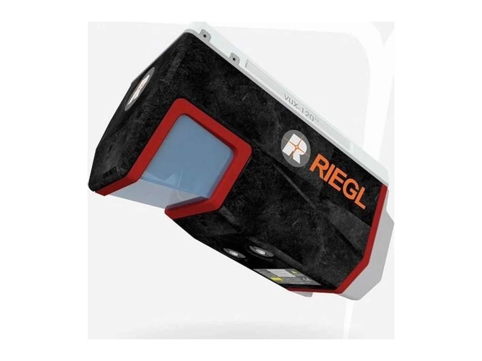
VUX-240 is a laser ranging sensor that uses laser measurements to capture distances or spatial information. It supplies range data for an integrated sensing installation, with mounting geometry and the host data interface defined for the intended application.
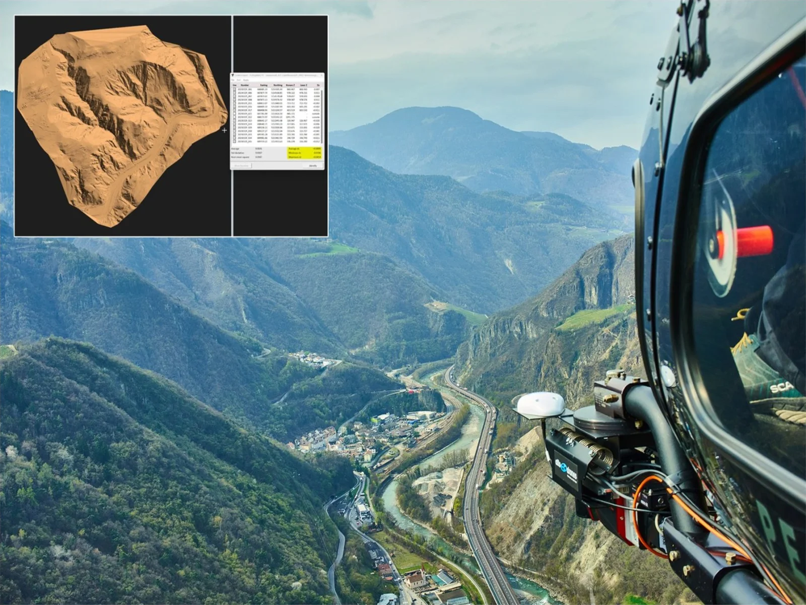
The RIEGL VUX-240-24 is a lightweight airborne laser scanner (LiDAR) with online waveform processing, made by RIEGL Laser Measurement Systems for UAV-based laser scanning. It is designed for integration with UAS, UAV and RPAS platforms and with crewed aeroplanes, helicopters and gyrocopters, and it delivers high point density at high flight speeds.
The measurement principle is RIEGL's Waveform-LiDAR technology: echo signals are digitized and processed online, which resolves multiple targets per laser pulse and lets the scanner see through dense foliage. A continuously rotating polygon mirror wheel produces perfectly linear and parallel scan lines at up to 600 lines per second, over a field of view of up to 75 degrees. The laser pulse repetition rate reaches 2.4 MHz, giving a measurement rate of up to 2,000,000 measurements per second. The maximum operating flight altitude is 1,430 m (4,700 ft).
The measuring range depends on the pulse repetition rate and on target reflectivity. At 300 kHz the range is 1,200 m for 20 % reflectivity, 1,940 m for 60 % and 2,180 m for 80 %, and at 2,400 kHz it is 460 m, 770 m and 880 m. The same trade applies to multi-target capability: up to 30 targets per pulse at 300 kHz, 24 at 600 kHz, 11 at 1,200 kHz, 7 at 1,800 kHz and 5 at 2,400 kHz. The minimum range is 5 m and accuracy is 20 mm with a precision of 15 mm at every setting. In practice the integrator selects a lower rate for height or range and a higher rate for point density.
For integration, the scanner has a mechanical and electrical interface for an optional IMU/GNSS system, with RIEGL RiLOC solutions available, and interfaces to control up to four optional cameras. Scan data is stored on an internal 2 TByte SSD, and a removable CFast memory card is provided. Mounting is to unmanned platforms or to helicopters and other crewed aircraft. RIEGL supplies the RiPROCESS, RiACQUIRE and RiUNITE software packages with the scanner, together with the RiVLib and RDBLib libraries and a plugin for ArcGIS.
Typical applications named by the maker are corridor mapping, including power line, railway track and pipeline inspection, topography in open-cast mining, surveying of urban environments, archeology and cultural heritage documentation, and agriculture and forestry. The datasheet contains the full technical data, including mass and power requirements for the installation.
Specifications
Specifications · VUX-240 laser ranging sensor
General
Grade
Professional
Market
Civil
Platform class
Small UAS (<25 kg), Large UAS (25–150 kg), Heavy UAS (>150 kg), Manned aircraft
Ouster's REV7 lidar family, built on the L3 digital chip, spans the OS0, OS1 and OS2 plus the new 180° hemispherical OSDome. Ouster claims higher range and finer precision with no change in sensor size or weight.
Gremsy has signed a memorandum of understanding with South Korean UAV manufacturer NINANO to explore integrating Gremsy's EO/IR camera payloads into NINANO's unmanned platforms. The agreement sets a framework for technical collaboration…
SimActive launches an integrated workflow that brings Phase One aerial imagery into its Correlator3D photogrammetry software for large-scale defense mapping. The link targets the processing stage, where users who collect tens of thousands…










 Featured
 Featured
 Featured
 Featured
 Featured
 Featured
 Featured
 FeaturedLiDAR