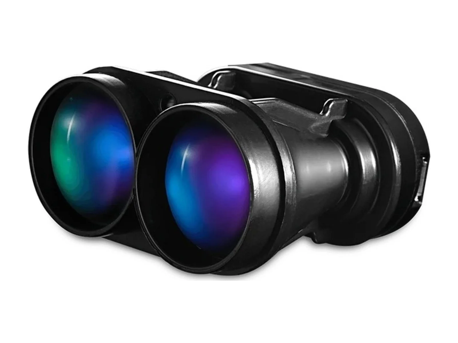
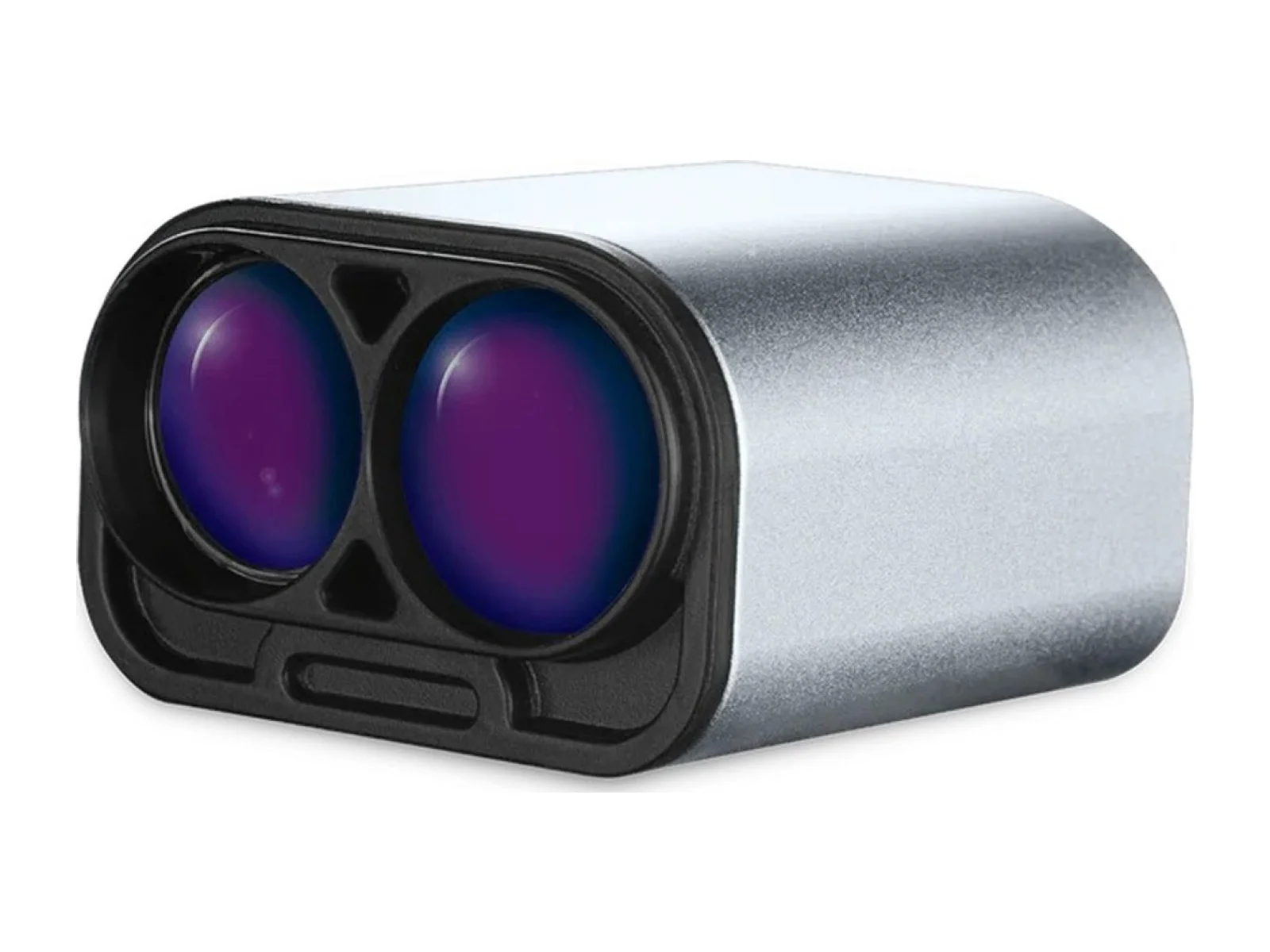
SF45/B is a scanning laser rangefinder that measures distances across a scanned field of view. It provides range observations for navigation or obstacle sensing and connects to host processing equipment as part of an integrated unmanned-platform sensor installation.
The Lightware SF45/B is a scanning laser rangefinder, a compact LiDAR sensor from Lightware LiDAR that measures distance to objects around a small unmanned aircraft. A single 905 nm laser beam is swept horizontally by an oscillating mechanism, so one sensor covers a wide arc instead of a single line of sight.
The main figures are a measurement range of up to 50 m, an adjustable scanning angle of up to 320 degrees, and up to 5000 point measurements per second. The range figure applies to a white wall in daylight, so darker or smaller targets return shorter distances. Because the scan angle can be narrowed, an integrator can trade coverage against how often each direction is measured. The sensor can report the first and the last pulse return, which helps when a beam partly crosses foliage, wires or other thin obstacles. The laser is listed as eye safe, Class 1M.
The housing measures 51 x 48 x 44 mm. Lightware lists a weight of 59 g, which suits small multirotors and fixed-wing aircraft where payload mass counts. The supply is 5 V with a typical current draw of 300 mA, according to the PX4 documentation, so the sensor can run from an avionics rail; a long supply cable can drop the voltage at the sensor, and a separate step-down converter from battery voltage keeps 5 V where needed.
Connection is by USB, 3.3 V serial (UART) or I2C. On a flight controller running PX4 the sensor connects to a free serial port such as TELEM2, at a baud rate of 921600 set with the Lightware Studio configuration software. The PX4 driver is not in the default build and is enabled in the build configuration, after which the sensor publishes OBSTACLE_DISTANCE messages for obstacle avoidance and collision prevention.
Typical applications are obstacle detection and avoidance, wide-area proximity sensing and altitude or terrain measurement on UAVs, and mapping of the space around a vehicle in confined sites such as buildings, tunnels or stockpiles.
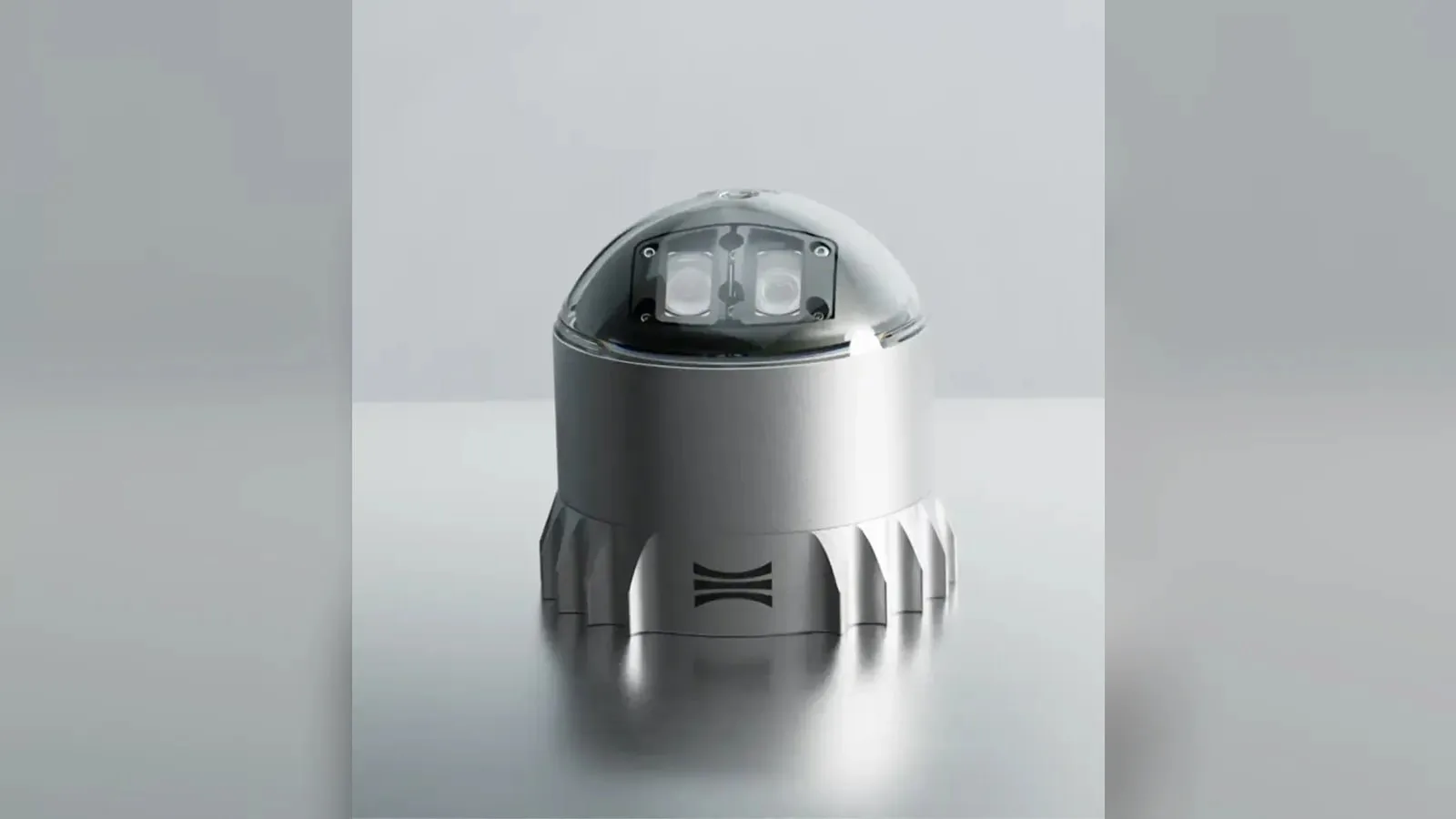
Ouster's REV7 lidar family, built on the L3 digital chip, spans the OS0, OS1 and OS2 plus the new 180° hemispherical OSDome. Ouster claims higher range and finer precision with no change in sensor size or weight.
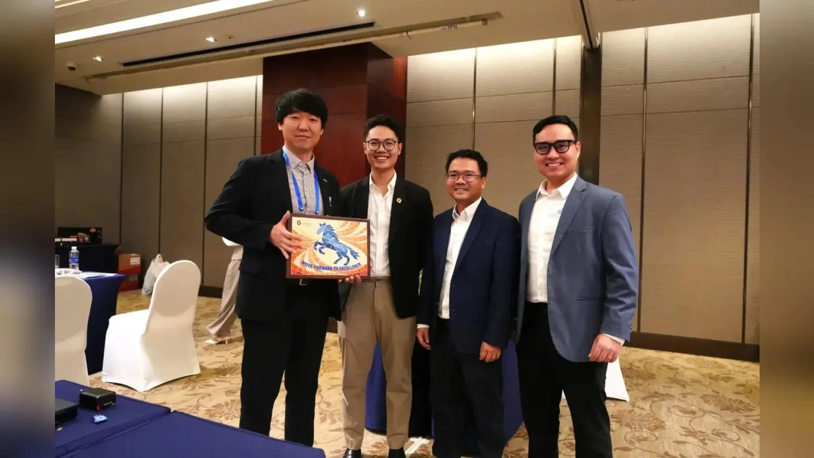
Gremsy has signed a memorandum of understanding with South Korean UAV manufacturer NINANO to explore integrating Gremsy's EO/IR camera payloads into NINANO's unmanned platforms. The agreement sets a framework for technical collaboration…
SimActive launches an integrated workflow that brings Phase One aerial imagery into its Correlator3D photogrammetry software for large-scale defense mapping. The link targets the processing stage, where users who collect tens of thousands…










 FeaturedAltimeters
 Featured
 Featured
 Featured
 Featured
 Featured
 Featured
 Featured