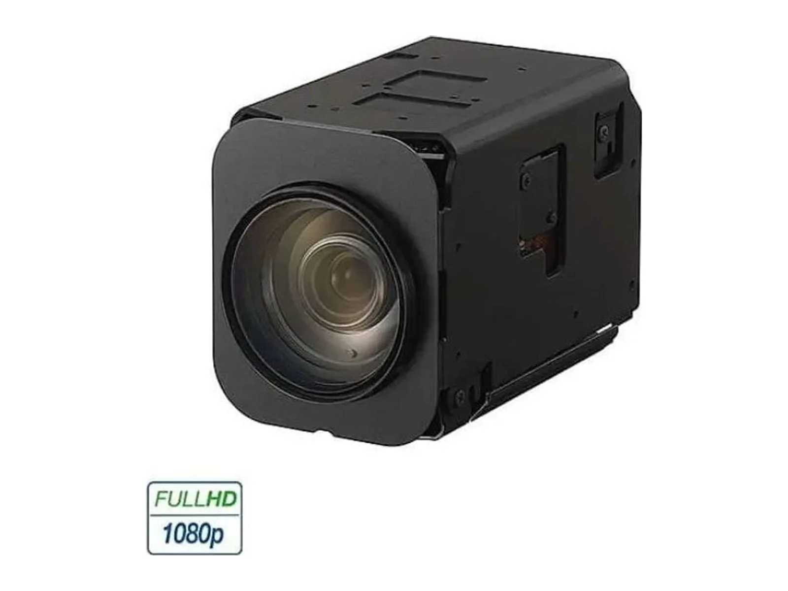
Visible, thermal and multispectral drone cameras

Visible-spectrum, thermal and multispectral cameras for inspection, surveillance, mapping and agriculture.

Filters
Products

10 results

  1. Cameras

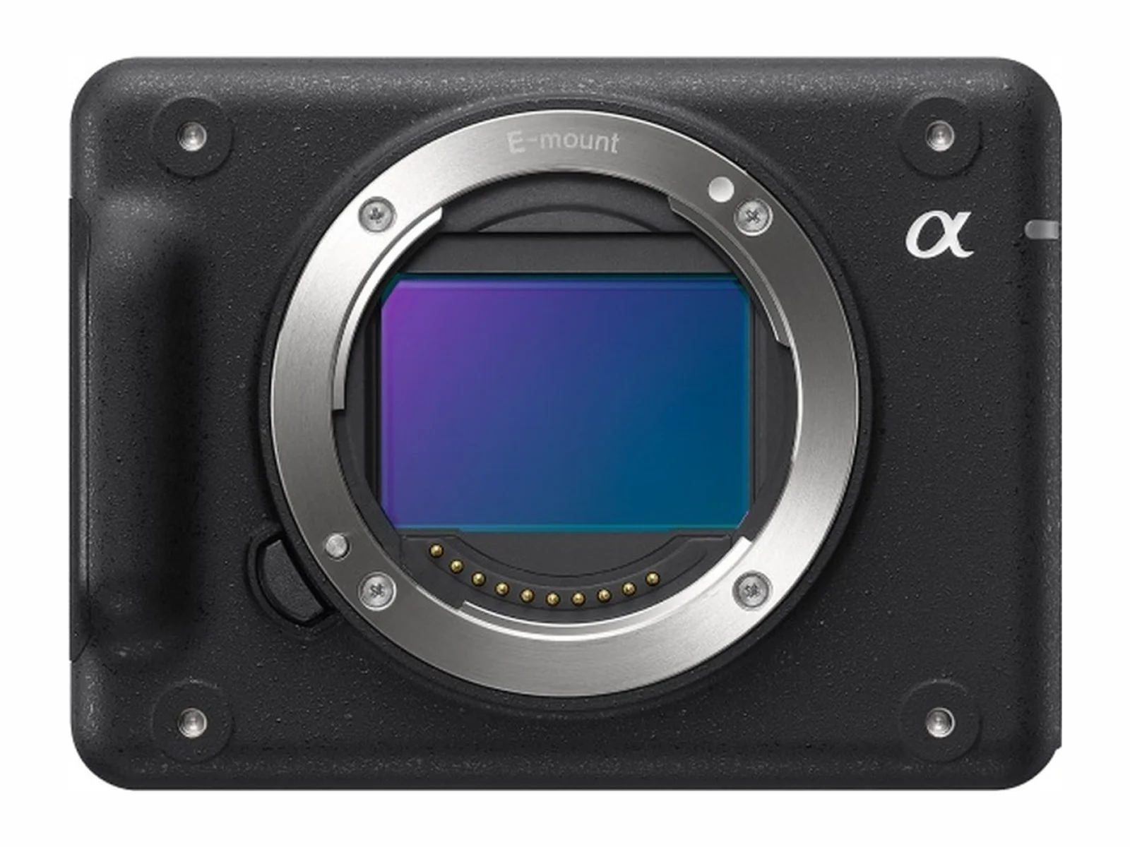
    ILX-LR1 imaging product

    Sony

    Spectrum
    Visible
    Resolution
    61,000,000 px
    Grade
    Professional

Drone cameras: visible, thermal and multispectral

Updated November 3, 2026

Cameras are the most common drone payload. The right camera depends on what must be seen: fine detail for inspection, large areas for mapping, heat for search and rescue or energy audits, or plant health for agriculture.

Types

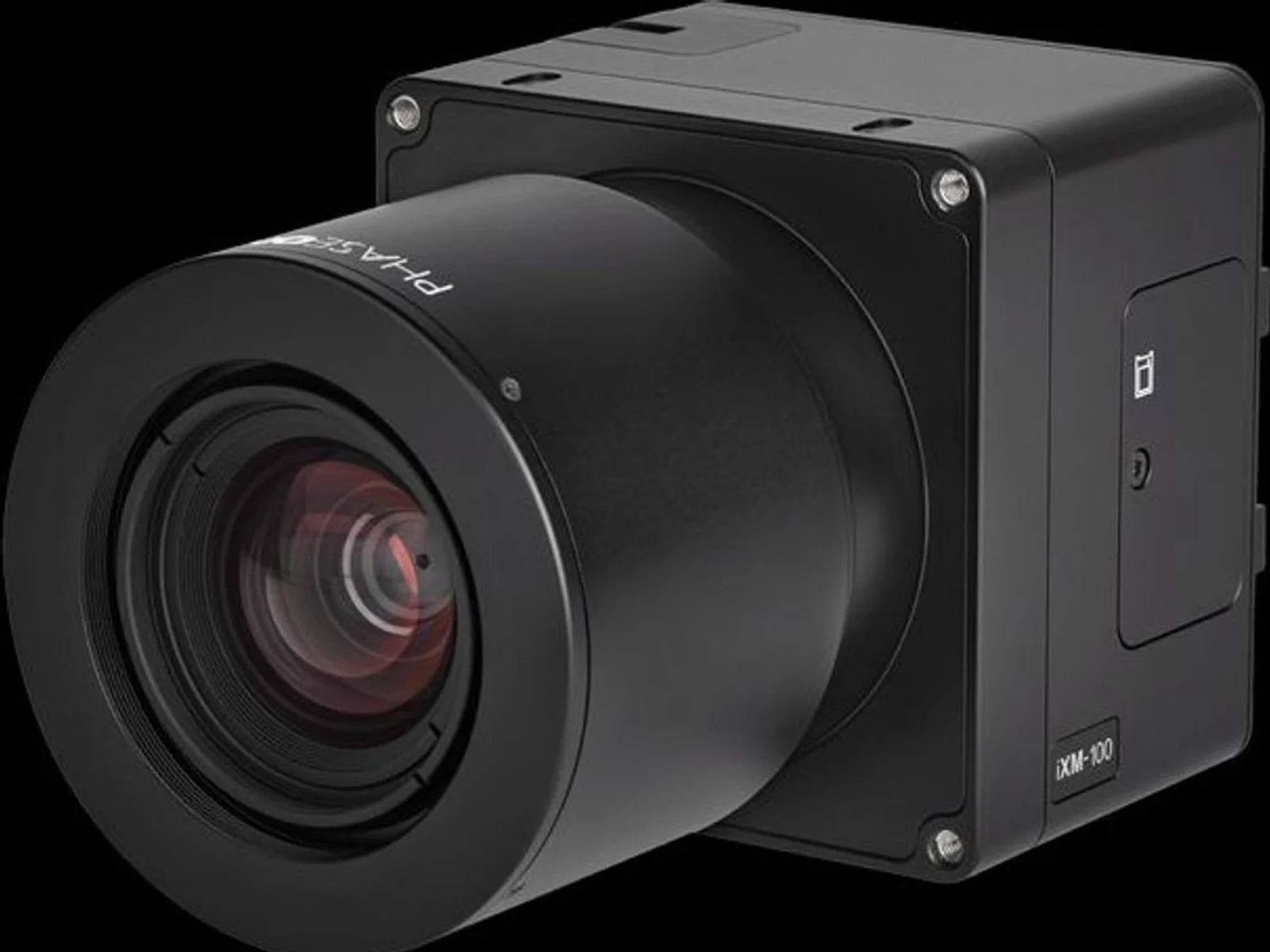
  • Visible (RGB) cameras: from compact zoom cameras to medium-format mapping cameras with large sensors and mechanical shutters for photogrammetry.
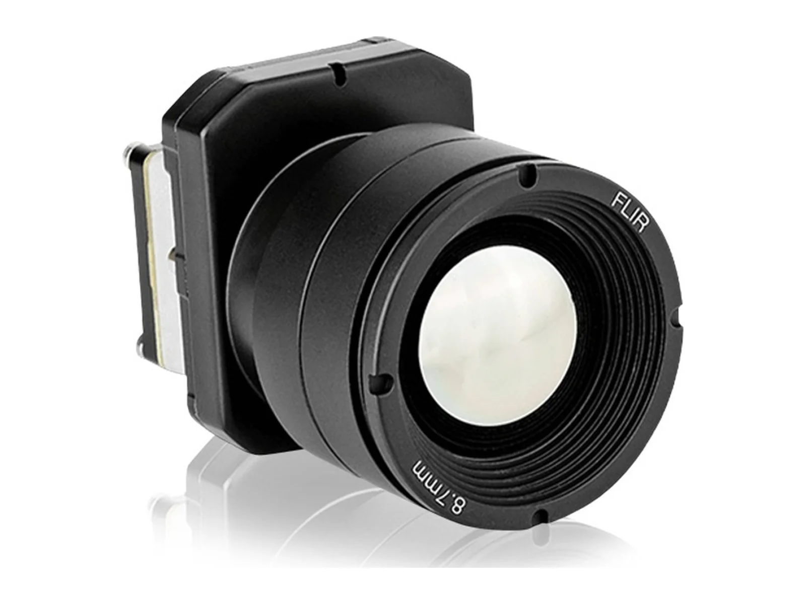
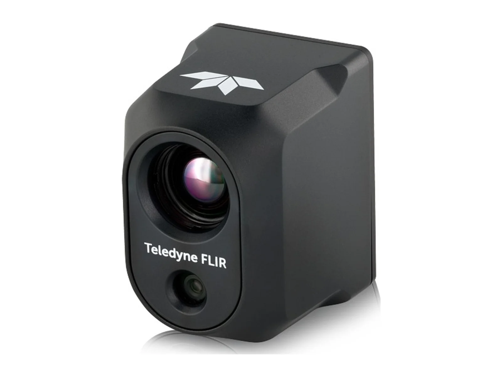
  • Thermal (LWIR) cameras: uncooled microbolometer sensors detect heat differences; radiometric models measure temperature per pixel. Cooled MWIR cameras give longer range and sensitivity for surveillance.
  • Multispectral and hyperspectral cameras: capture specific wavelength bands to compute vegetation indices and material properties.
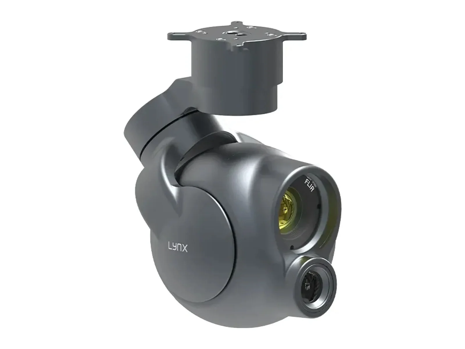
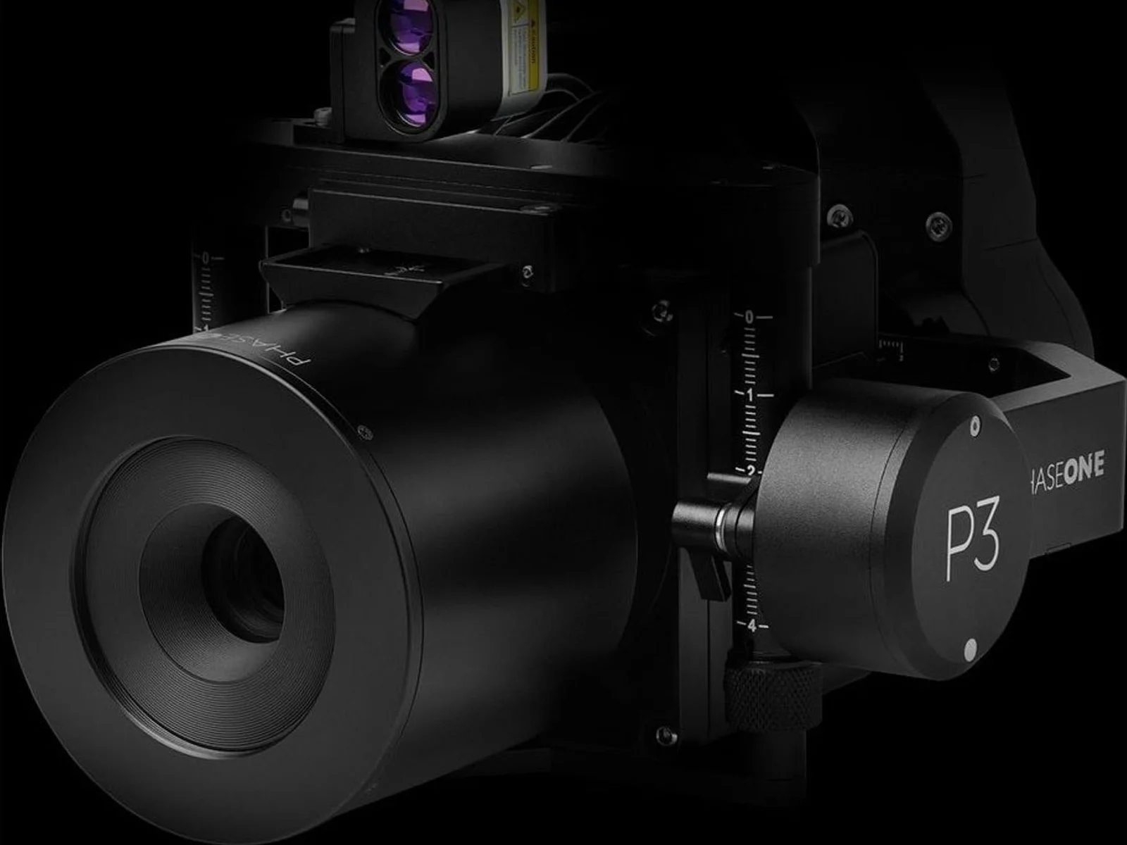
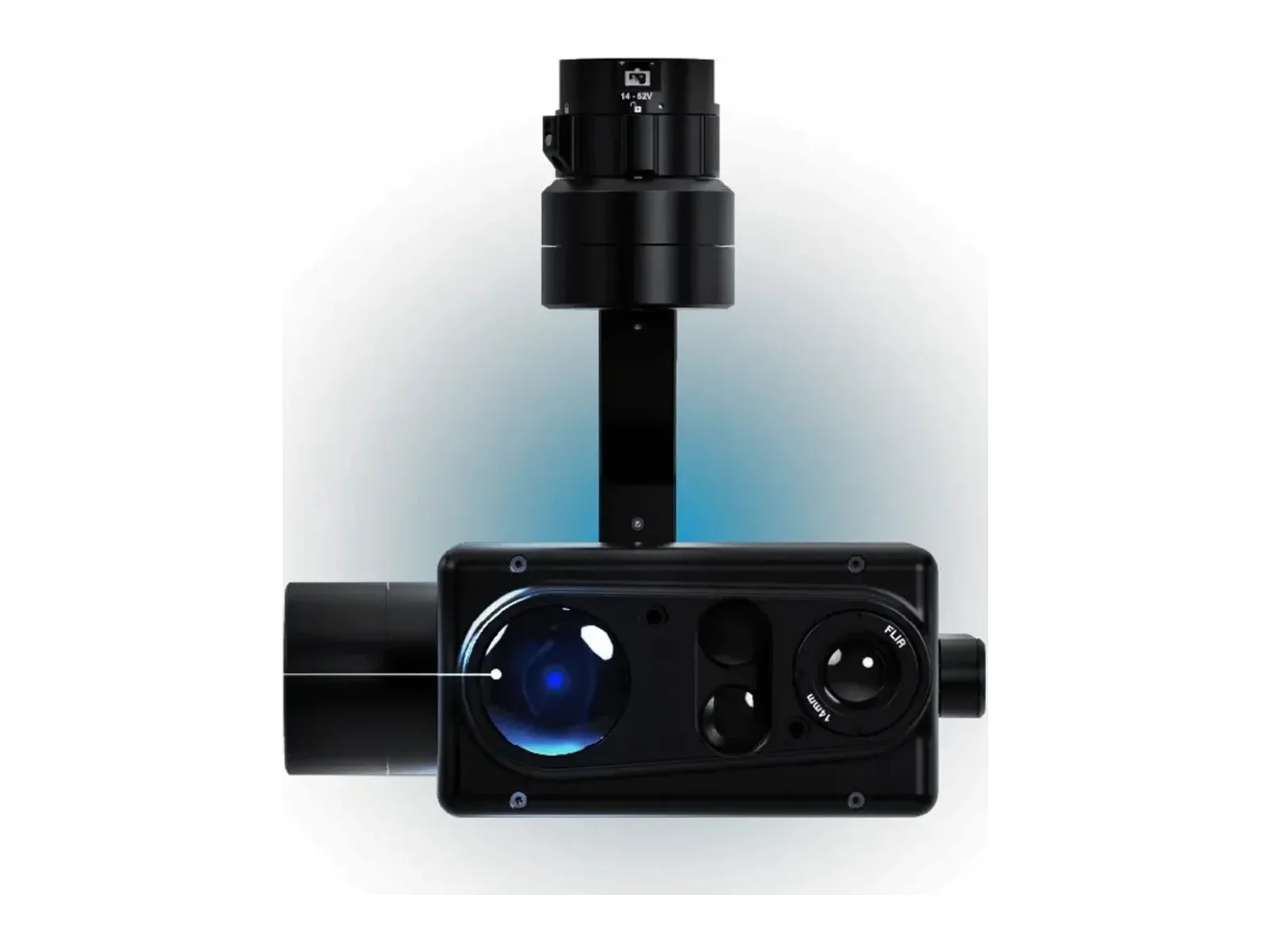
  • Multi-sensor payloads: visible, thermal and laser rangefinder combined in one gimbaled unit.

Key specifications

  • Sensor resolution and size, which together with the lens set the ground sample distance (GSD) at a given altitude.
  • Optical zoom and field of view.
  • Thermal sensitivity (NETD) and resolution for thermal cameras; radiometric accuracy if measuring temperature.
  • Shutter: global or mechanical shutters avoid distortion in mapping.
  • Frame rate and video output: HDMI, Ethernet/IP, SDI.
  • Geotagging and synchronisation with GNSS for mapping.
  • Mass, power and environmental sealing.

Choosing

Start from the GSD or detection range the mission needs, then find the lightest camera and lens that achieve it at a safe altitude. For moving platforms and long focal lengths, a stabilised gimbal is essential.

Manufacturers in the directory

Examples include Teledyne FLIR, NextVision, Phase One and Sony.

Frequently asked questions

What is ground sample distance (GSD)?

The distance on the ground represented by one pixel in the image. A GSD of 1 cm means each pixel covers 1 cm; smaller GSD shows more detail and depends on sensor, lens and altitude.

What is a radiometric thermal camera?

A thermal camera that measures the temperature of each pixel, not only relative heat differences. It is needed for inspections where temperatures must be quantified.

Why use a mechanical or global shutter for mapping?

A rolling shutter reads the sensor line by line, so a moving drone produces distorted images. Mechanical and global shutters capture the whole frame at once, improving photogrammetric accuracy.
News
Ouster

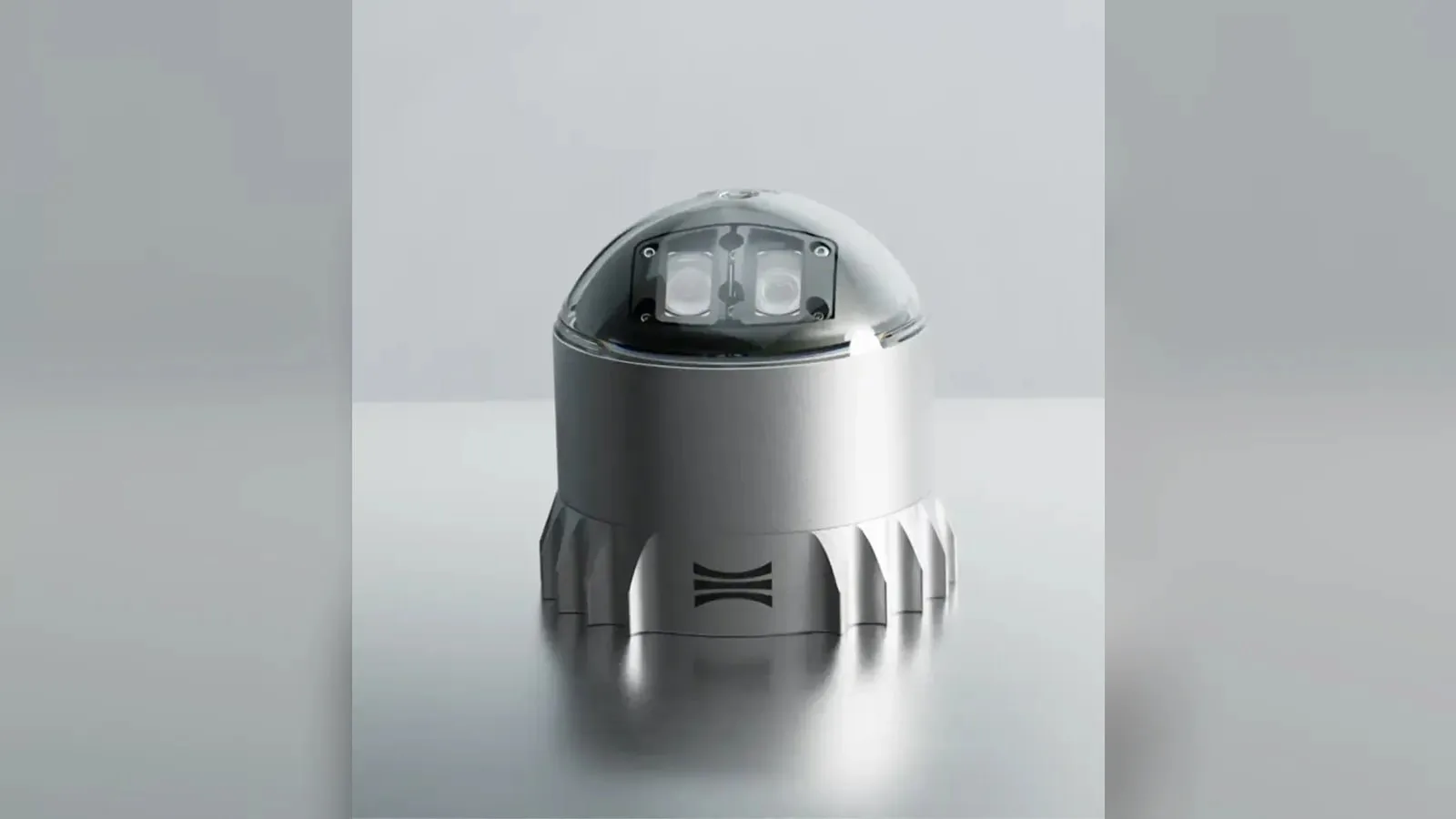
Ouster L3 chip powers REV7 lidar lineup with OSDome

Ouster's REV7 lidar family, built on the L3 digital chip, spans the OS0, OS1 and OS2 plus the new 180° hemispherical OSDome. Ouster claims higher range and finer precision with no change in sensor size or weight.
Gremsy

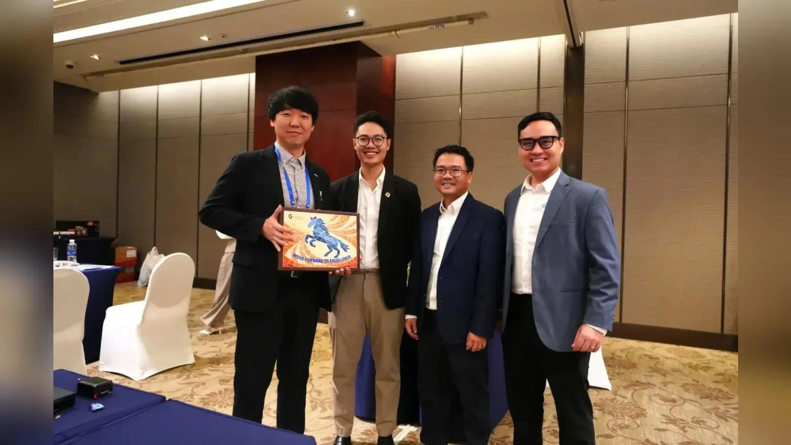
Gremsy and NINANO sign MoU on EO/IR payload integration

Gremsy has signed a memorandum of understanding with South Korean UAV manufacturer NINANO to explore integrating Gremsy's EO/IR camera payloads into NINANO's unmanned platforms. The agreement sets a framework for technical collaboration…
Phase One

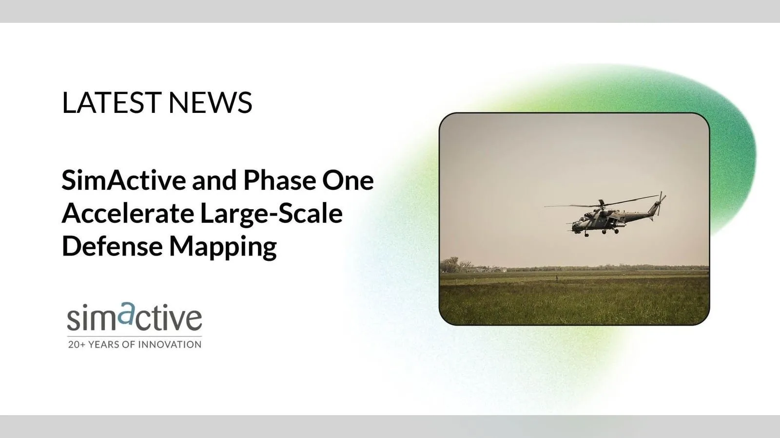
Phase One imagery feeds SimActive Correlator3D for defense maps

SimActive launches an integrated workflow that brings Phase One aerial imagery into its Correlator3D photogrammetry software for large-scale defense mapping. The link targets the processing stage, where users who collect tens of thousands…


View all: Related news

Contact

We send your message and contact details to — by email, with a copy to you, so they can reply. NomyParts keeps a record of the request. More information in our privacy policy.