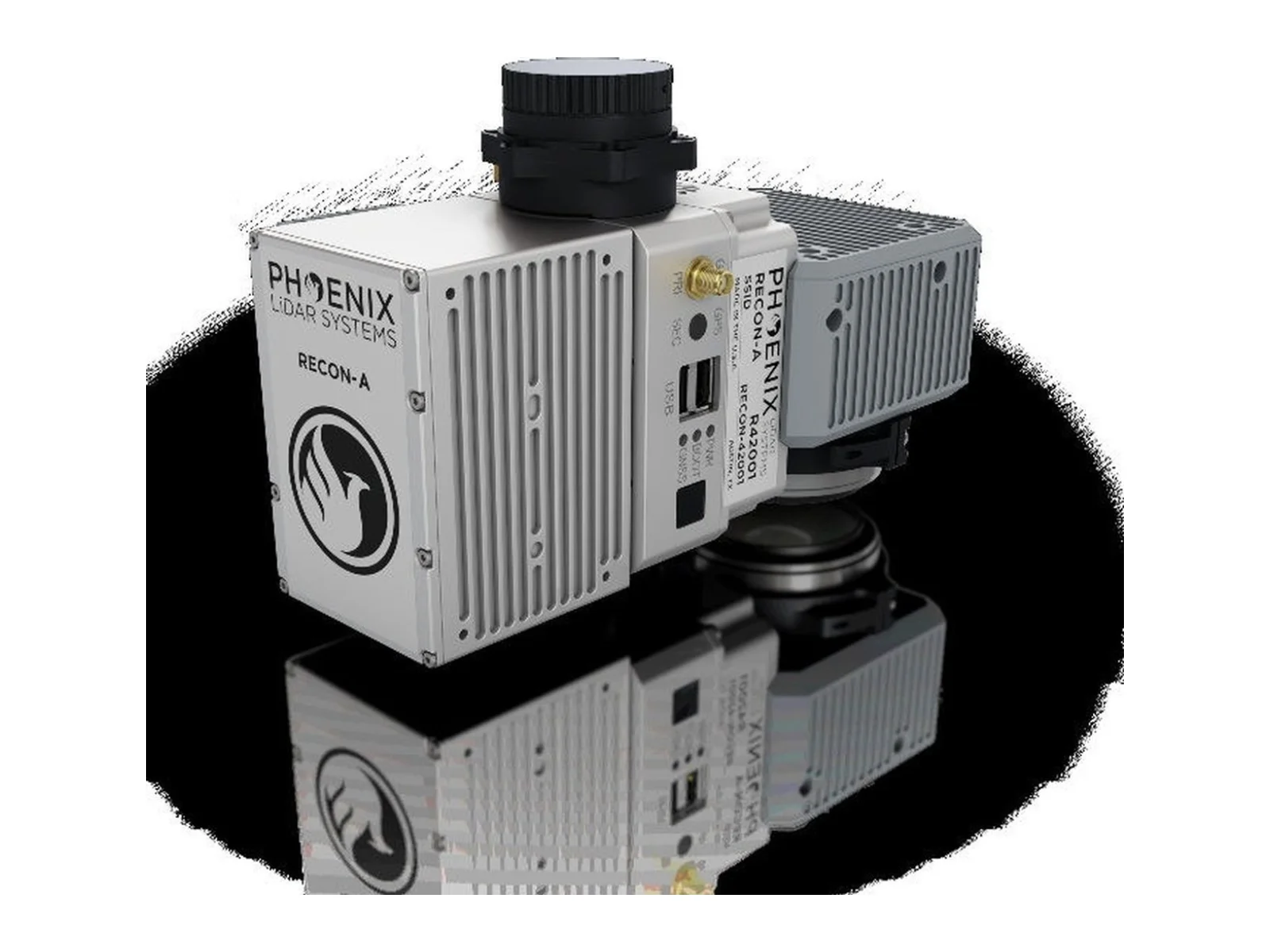
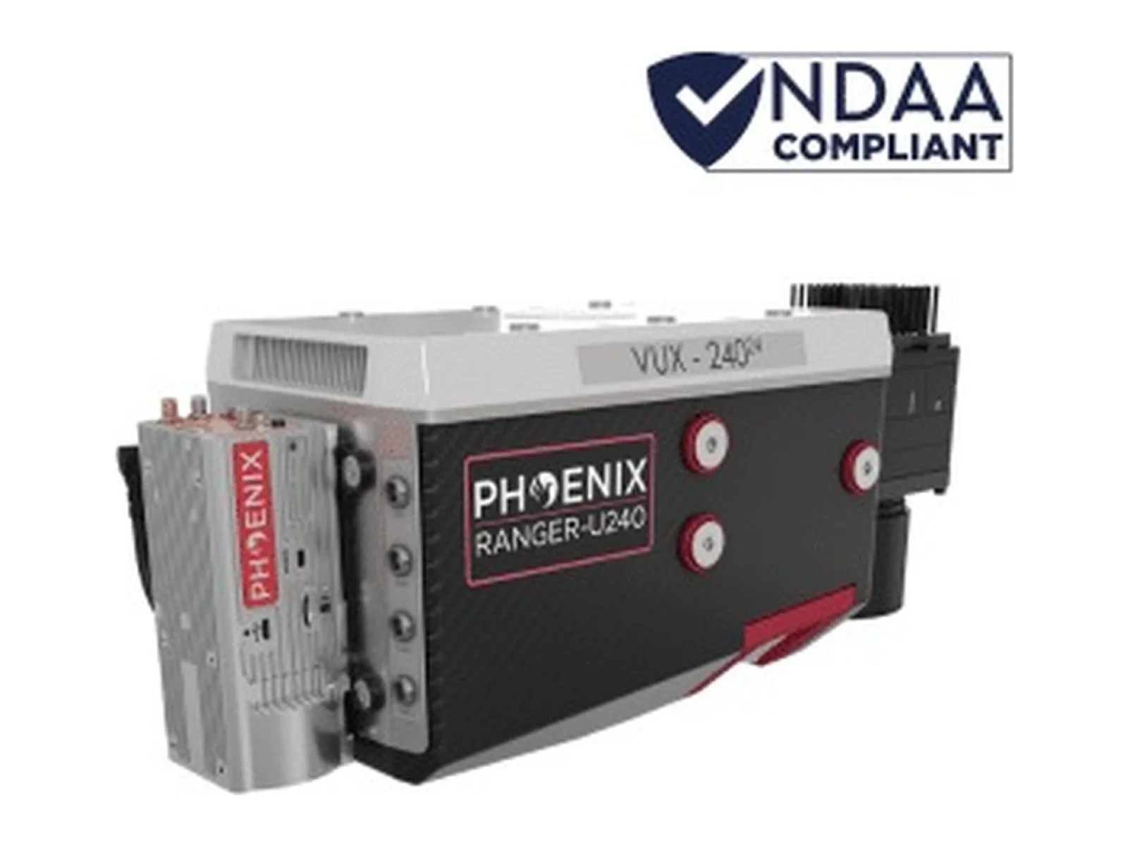
RECON-A is an airborne LiDAR payload combining a 905 nm scanner, an integrated camera and a navigation subsystem. Selectable scanning patterns and multiple returns support mapping and colourised point-cloud acquisition from a compatible survey platform.
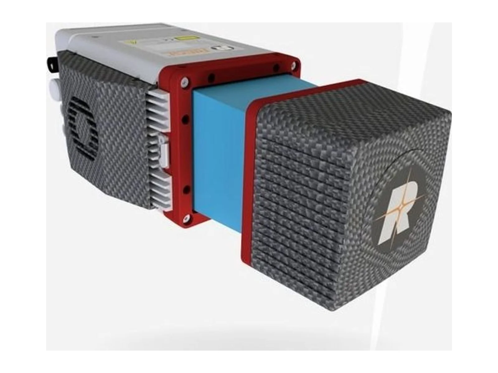
The RECON-A from Phoenix LiDAR Systems is an integrated airborne LiDAR mapping payload that combines a 905 nm laser scanner, a 24 MP RGB camera and a GNSS/inertial navigation system in one unit, designed for reconnaissance-grade mapping from multirotor platforms such as the DJI M300.
The scanner supports two modes. The non-repetitive pattern covers a field of view of 70.4 x 77.2 degrees and is the preferred mode for structures such as power line towers, because it builds up dense coverage even on low-reflectance surfaces. The repetitive line scan narrows the vertical field of view to 4.5 degrees and is intended for work that needs the highest accuracy. The laser is Class 1 (eye safe) with a maximum range of 190 m, range accuracy of +/-2 cm and distance random error below 2 cm at 20 m on an 80 percent reflective target. Up to three returns are recorded, and the scan rate is 240,000 points per second for the first or strongest return, 480,000 for dual return and 720,000 for triple return.
The integrated camera has a 70 degree field of view that matches the scanner, so the point cloud can be colorized in RGB. The navigation subsystem tracks GPS, GLONASS, BeiDou and Galileo, supports kinematic alignment with an optional dual antenna, and works in post-processing only. Estimated PPK position accuracy is 0.5 cm, and attitude accuracy is better than 0.01 degrees in pitch and roll and 0.05 degrees in heading. Absolute accuracy is 3-6 cm RMSEz at 60 m above ground level and intraswath precision is 6.5 cm RMSDz at the same height, under the maker's test conditions.
At 60 m above ground level the swath width is 84 m, and the maker's planning tables relate flight height and speed to point density and area covered per flight. The payload measures 19.9 x 9.2 x 12.1 cm, weighs 1.2 kg and operates from 0 degrees C to +40 degrees C. Data is stored on an included 256 GB USB drive. The maker quotes a maximum flight time of 35 minutes on the DJI M300.
Typical applications are utilities mapping, including vegetation encroachment on power lines, construction site surveying, agriculture and forestry monitoring, open pit mining, stockpile volumetrics and general mapping.
SimActive launches an integrated workflow that brings Phase One aerial imagery into its Correlator3D photogrammetry software for large-scale defense mapping. The link targets the processing stage, where users who collect tens of thousands…
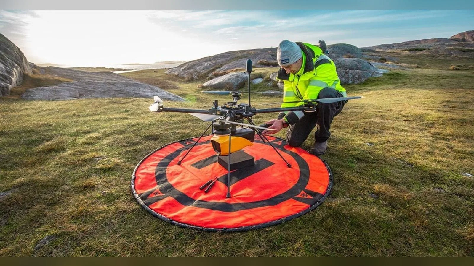
YellowScan joins the SeaDeep project with VisionAir Production AB to study how its Navigator topo-bathymetric LiDAR can monitor sea farms and seaweed production sites. The EU co-funded programme, which links 30 partners, aims to develop…
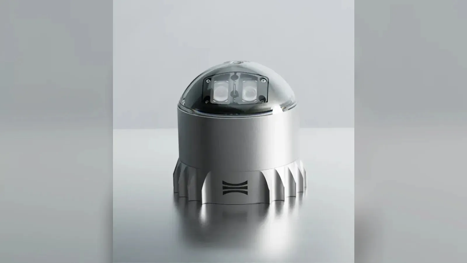
Ouster's REV7 lidar family, built on the L3 digital chip, spans the OS0, OS1 and OS2 plus the new 180° hemispherical OSDome. Ouster claims higher range and finer precision with no change in sensor size or weight.











 Featured
 Featured
 Featured
 Featured
 Featured
 Featured