Ranger is a laser ranging sensor that uses laser measurements to capture distances or spatial information. It supplies range data for an integrated sensing installation, with mounting geometry and the host data interface defined for the intended application.
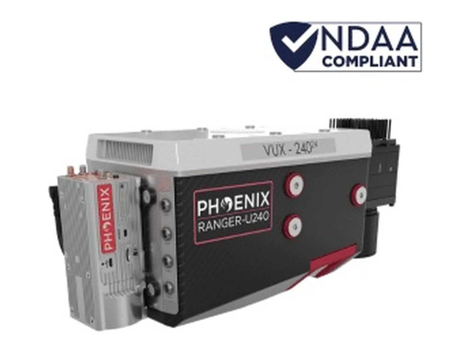
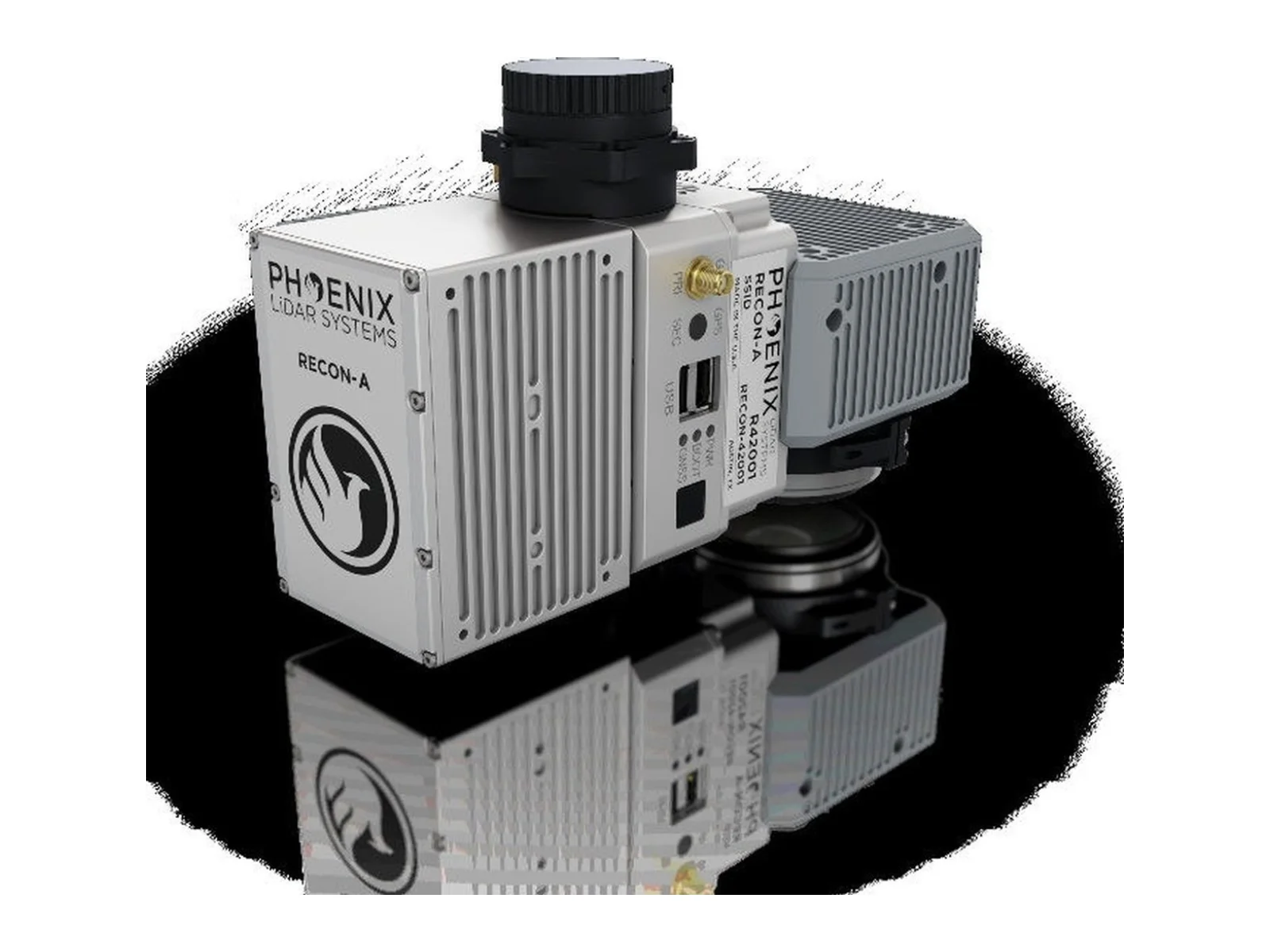
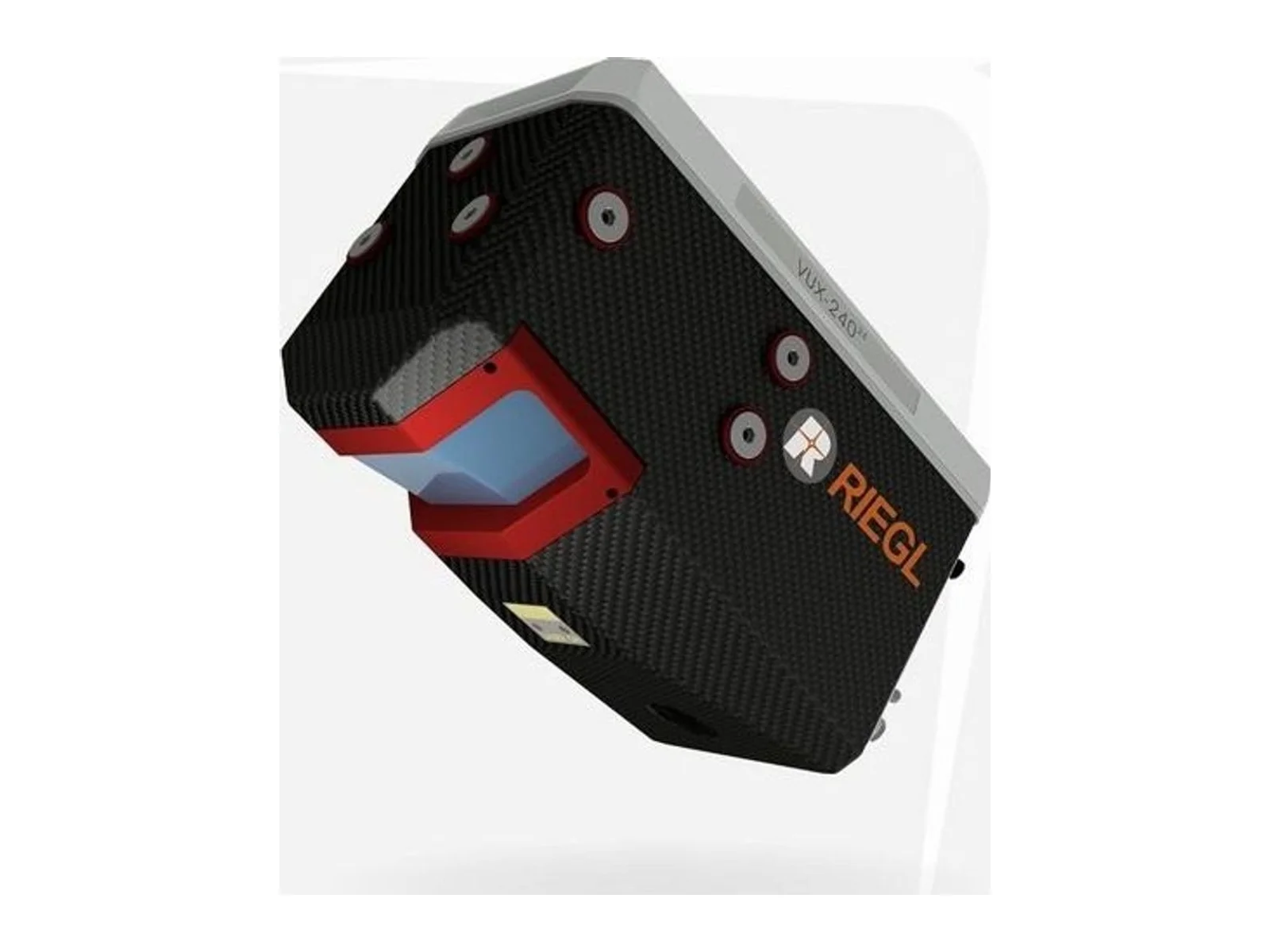
The Ranger-U240 is an airborne laser scanning system from Phoenix LiDAR Systems, a LiDAR laser ranging sensor for mapping and surveying from unmanned aircraft and helicopters. It integrates a Riegl VUX-240-24 laser scanner and is part of the Ranger family of survey-grade LiDAR payloads.
The sensor measures distances with a pulsed laser and produces a three-dimensional point cloud of terrain, vegetation, infrastructure and structures. The maker lists integrations for UAV, helicopter, airplane and VTOL platforms. Its range, with a maximum altitude above ground of 890 m at 20 % reflectivity, allows flights at an altitude well above those of light multirotor scanners, which helps with larger areas and with terrain where a fixed height above ground is not practical.
The key figures describe how the point cloud is produced. The laser wavelength is 1550 nm and the pulse repetition rate is 2400 kHz. The scanner records up to 32 echoes per pulse, which allows several returns to be separated, for example from vegetation canopy and ground. The field of view is 75 degrees, the scan rate is 40 to 600 lines per second and the beam divergence is 0.35 mrad. Sensor precision is 15 mm, the RMSEz system accuracy is 1.5 to 3 cm at 150 m, and the intraswath precision is 1.5 cm at 120 m. For the integrator, the system accuracy is the figure that describes the whole chain, including positioning, while the sensor precision describes the scanner alone.
On the physical side, the unit has a mass of 4.7 kg and measures 34.8 x 16.4 x 18.9 cm, so it needs an aircraft with the corresponding payload capacity and a mounting position with a clear view below. The operating voltage is 20 to 28 V DC with a power consumption of 85 W, and the operating temperature range is 0 to 40 °C.
For positioning, the system supports the GPS, GLONASS, BeiDou and Galileo constellations. The workflow of the maker is completed by the Phoenix LiDAR software suite for flight planning, calibration and processing, including FlightPlanner, SpatialExplorer and LiDARMill.
Applications named by the maker for the product family include surveying and engineering, utilities, rail, mobile mapping, oil and gas, and helicopter surveys.
Specifications
Specifications · Ranger laser ranging sensor
General
Grade
Professional
Market
Civil
Platform class
Large UAS (25–150 kg), Heavy UAS (>150 kg), eVTOL, Manned aircraft
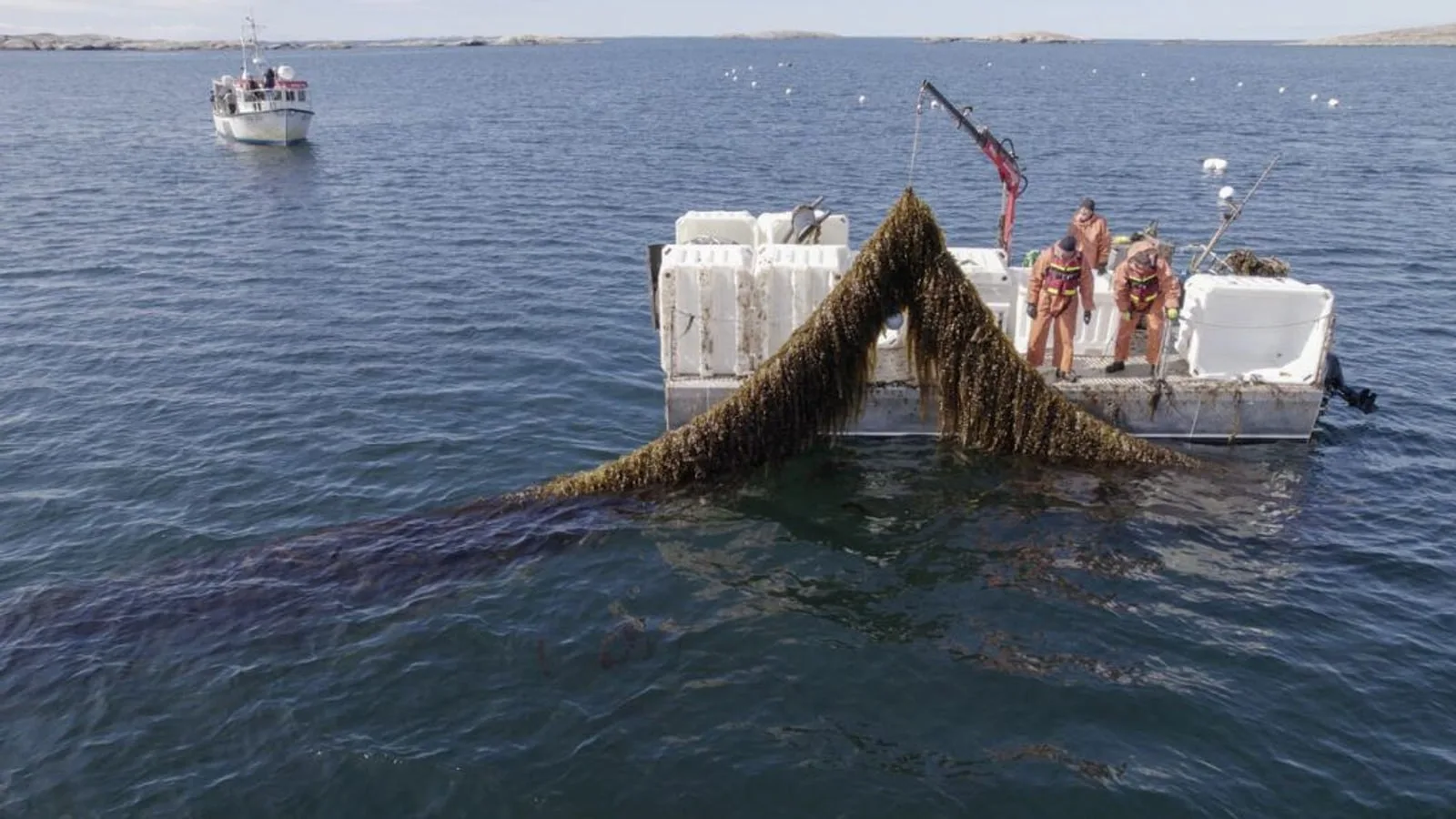
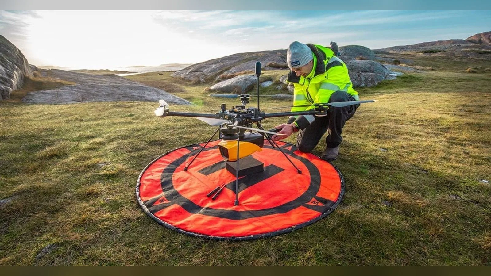
YellowScan and VisionAir Production AB join SeaDeep, a European aquaculture project, to study the Navigator topo-bathymetric LiDAR on sea farms and algae production sites. The drone-borne sensor maps above and below the waterline within a…
YellowScan joins the SeaDeep project with VisionAir Production AB to study how its Navigator topo-bathymetric LiDAR can monitor sea farms and seaweed production sites. The EU co-funded programme, which links 30 partners, aims to develop…
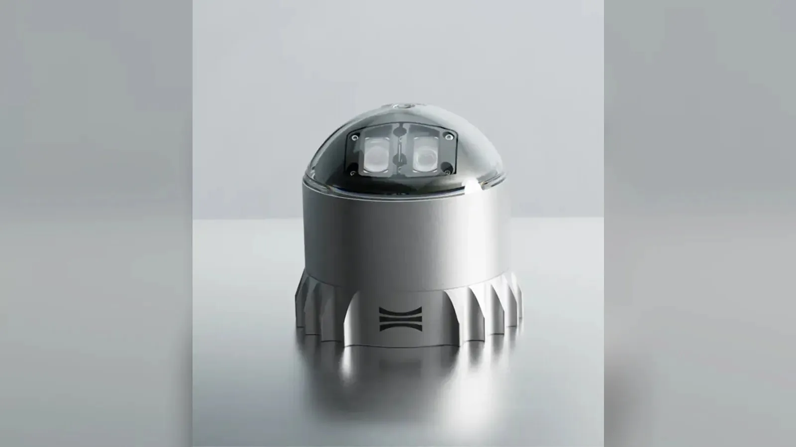
Ouster's REV7 lidar family, built on the L3 digital chip, spans the OS0, OS1 and OS2 plus the new 180° hemispherical OSDome. Ouster claims higher range and finer precision with no change in sensor size or weight.









 Featured
 FeaturedLiDAR
 Featured
 Featured
 Featured
 Featured