HALO-H is an airborne mapping LiDAR family using a 1030 nm laser and configurable scanning. Its variants serve different survey-range requirements, with the scanner, navigation equipment and payload configuration integrated for the survey aircraft.
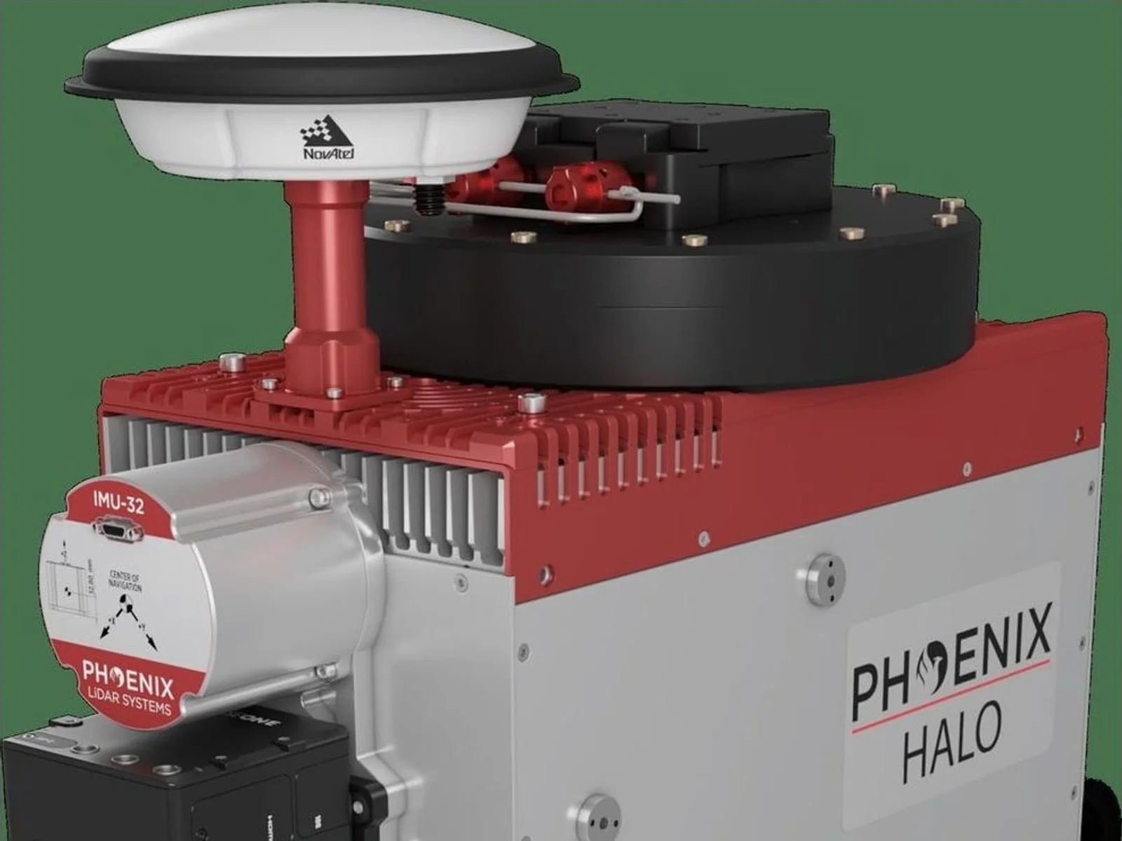
The HALO-H is an airborne LiDAR mapping system family from Phoenix LiDAR Systems, a long-range laser scanner for high-altitude, high-efficiency mapping from crewed helicopters and fixed-wing aircraft, with pod and large-diameter camera hatch installations also supported. It is built for city-scale and corridor surveys in which a large area has to be covered in few flight lines.
The family has two models. The HALO-15H is designed for city and corridor mapping, with a maximum range of 2500 m at 20% reflectivity and 100 kHz. The HALO-30H is a general-purpose longer-range system, with 4300 m under the same conditions, which allows greater terrain relief because of its higher maximum flying heights. Both use a 1030 nm laser wavelength, which the maker chose for better measurement probability across varied environmental conditions, and a 4-facet pyramidal mirror scanner. Laser safety class is Class 3B.
The key figures set the collection performance. Pulse repetition frequency is selectable from 100 kHz to 1600 kHz, scan speed from 20 to 250 lines per second, and the horizontal field of view from 10 degrees to 80 degrees. The beam divergence is 0.3 mrad, giving a small footprint, and the number of returns per pulse is virtually unlimited, which helps in vegetation. Intraswath precision is 6 cm RMSDz at 750 m, and laser accuracy is 0.03 m RMS at 1200 m range on 20% reflectivity targets. The maker gives an example helicopter acquisition at 500 m above ground level and 60 knots with a swath of 840 m and about 90 km2 per hour at an average density of 54 points per square metre, and a fixed-wing example at 1500 m, 120 knots and 400 kHz with a swath of 2517 m and about 560 km2 per hour.
For integration, the system measures 51.9 x 21.6 x 24.8 cm and weighs about 30 kg with an IMU-32 and a Phase One iXM100 camera. It operates from 18 to 28 VDC with a maximum power consumption of 155 W, at temperatures from 0 to 40 degrees Celsius. The navigation system supports GPS, GLONASS, BeiDou and Galileo, static, kinematic and dual-antenna alignment, and real-time or post-processed operation. Position accuracy is 1 cm + 1 ppm and attitude accuracy after processing is 0.002 degrees RMS in roll and pitch and 0.007 degrees in heading. A heli mount, camera and IMU options are available as accessories.
Typical applications are general mapping, utilities mapping, agriculture and forestry monitoring, urban mapping, oil and gas, construction and surveying work, with data processed in Phoenix LiDAR software such as SpatialExplorer and LiDARMill.
Specifications
Specifications · HALO-H airborne LiDAR mapping-system family
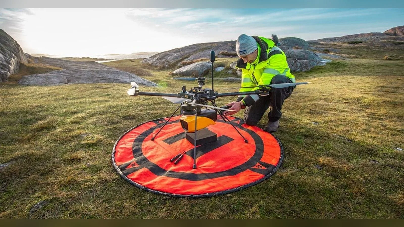
YellowScan and VisionAir Production AB join SeaDeep, a European aquaculture project, to study the Navigator topo-bathymetric LiDAR on sea farms and algae production sites. The drone-borne sensor maps above and below the waterline within a…
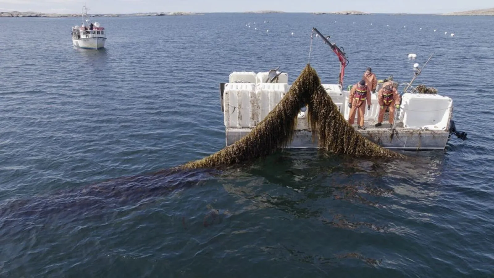
YellowScan joins the SeaDeep project with VisionAir Production AB to study how its Navigator topo-bathymetric LiDAR can monitor sea farms and seaweed production sites. The EU co-funded programme, which links 30 partners, aims to develop…
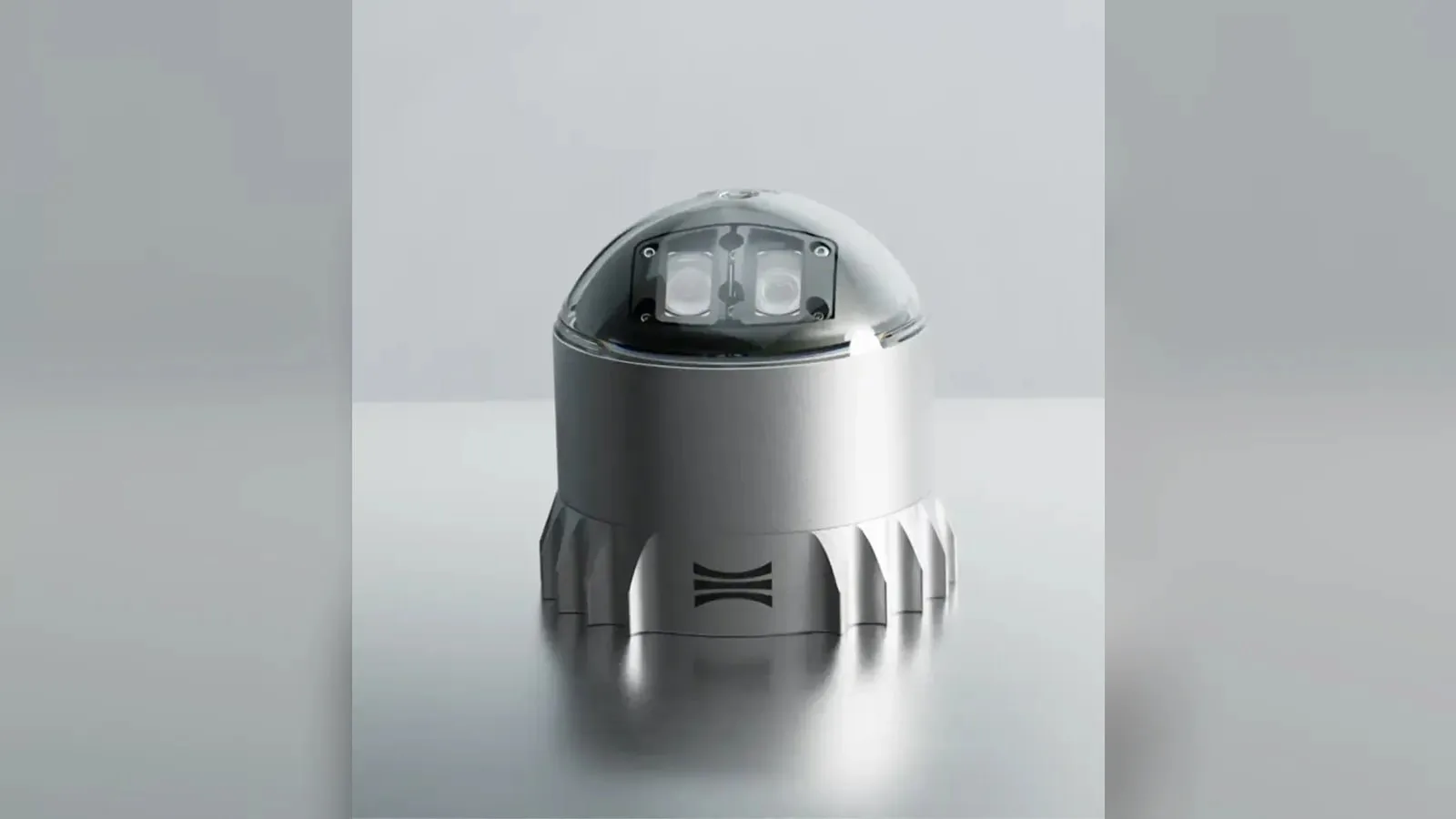
Ouster's REV7 lidar family, built on the L3 digital chip, spans the OS0, OS1 and OS2 plus the new 180° hemispherical OSDome. Ouster claims higher range and finer precision with no change in sensor size or weight.











 FeaturedLiDAR
 Featured
 Featured
 Featured
 Featured
 Featured