Featured
Visual navigation
Honeywell Alternative Navigation Architecture software framework
- Grade
- Aerospace-grade
- Market
- Defense
- Availability
- In production
Vision-based navigation for GNSS-denied or degraded operations: visual odometry, terrain recognition and assisted landing.
Filters
Try removing a filter.



Updated November 3, 2026
Most drones navigate with GNSS and inertial sensors. When GNSS is jammed, spoofed, blocked by buildings or simply unavailable, the inertial solution drifts within minutes. Visual navigation systems use cameras, and often other sensors, to estimate position and velocity without satellites.
GNSS interference has become common in conflict areas and near sensitive sites, and urban eVTOL operations need navigation that does not depend on satellites alone. Visual navigation complements robust GNSS receivers and high-grade IMUs.
Examples include Honeywell Aerospace, Auterion and ModalAI.
By combining an inertial measurement unit with other sources such as cameras (visual odometry and terrain matching), optical flow sensors, LiDAR or radio beacons. The extra sources limit the drift of the inertial solution.
Visible-light cameras need light and texture. Systems that work at night use thermal cameras or other sensors; check the operating envelope in the datasheet.
A method that fuses camera images with IMU measurements to estimate the motion of the vehicle. The camera corrects the IMU drift and the IMU covers fast motion and moments when the image is poor.

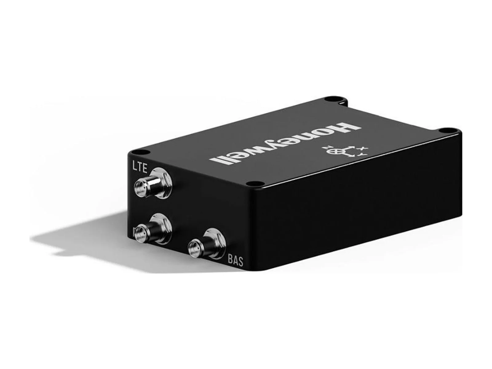
Honeywell Aerospace presents results from demonstrations of celestial-, vision- and magnetic-aided navigation that support inertial systems when GNSS signals are lost. Its star-tracker based system matches GNSS-INS performance under…
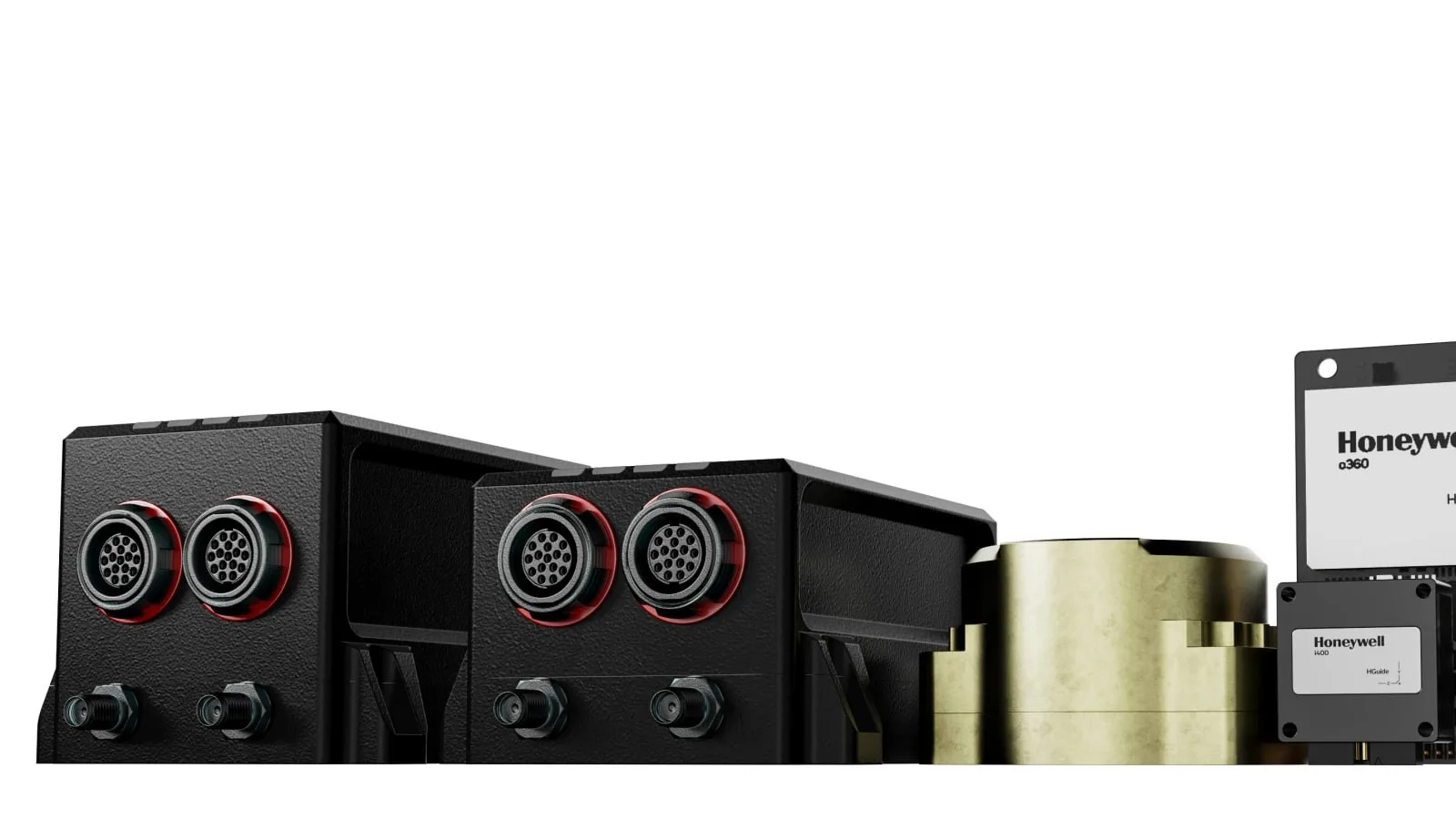
Honeywell Aerospace offers the HGuide o480, a 26-gram INS/GNSS navigator for attritable military platforms and industrial uses. The unit pairs an IMU and a GNSS receiver with AIM+ anti-jamming, and it is available globally without export…
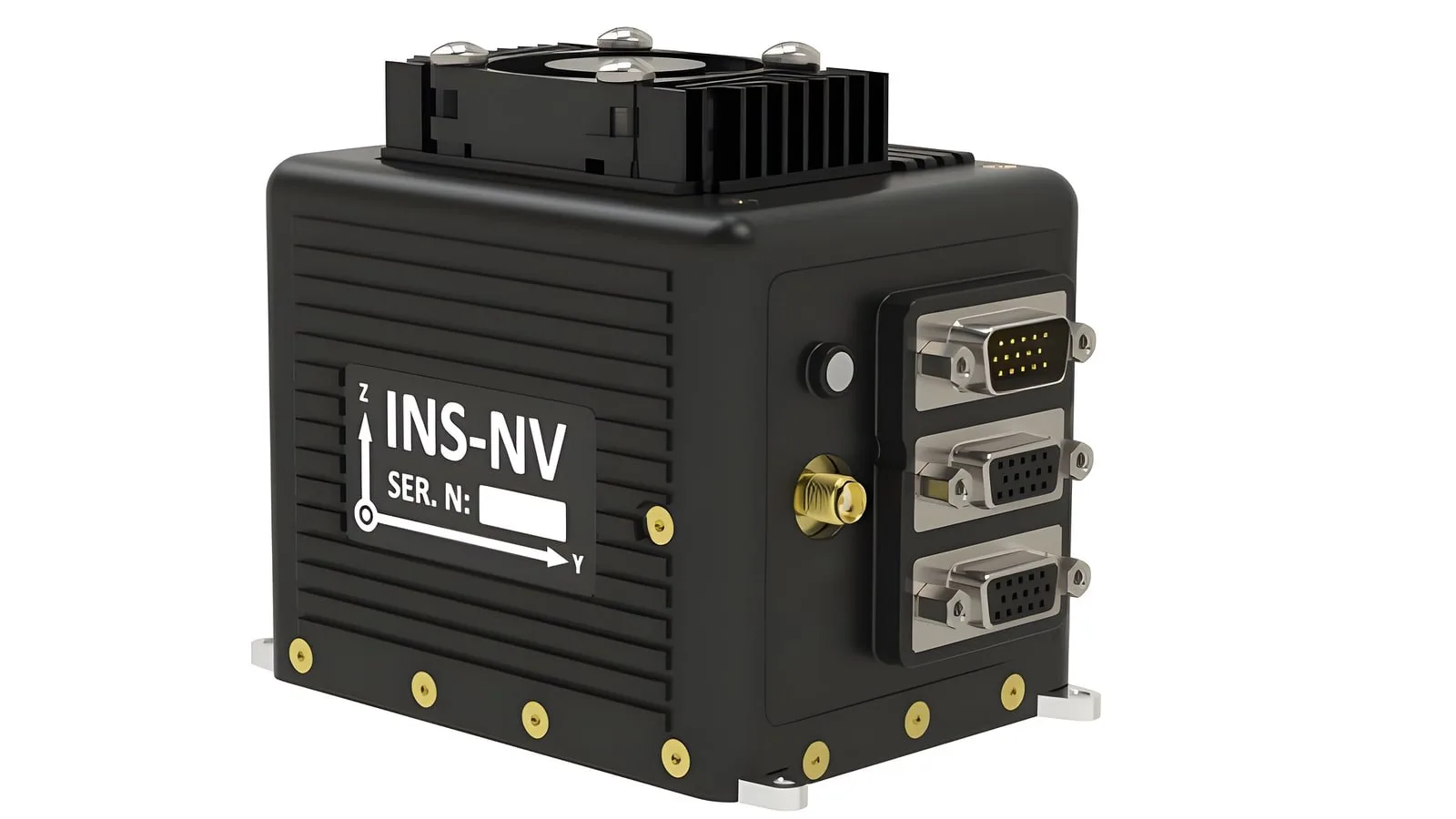
The INS-NV is a new programmable platform from Inertial Labs, which belongs to VIAVI, and it pairs an NVIDIA Jetson Orin NX module with an inertial navigation system and an AHRS. Developers of alternative PNT and visual navigation systems…