
SimActive, the Montreal-based photogrammetry software developer, announces a workflow with Phase One aerial imaging systems for defense mapping teams that must turn large image sets into finished maps on tight deadlines. The workflow combines Phase One’s high-resolution imagery with Correlator3D to process large volumes of aerial data.
Phase One imagery goes directly into Correlator3D, with no separate file conversion step. Correlator3D then automates the processing and spreads the load over several machines, shortening production of elevation models and orthomosaics.
Data volume is the driver. Some Phase One customers capture anywhere from 10,000 to 50,000 large-format frames daily, according to Jacob Hut, who directs application engineering at the company. He says the integration cuts manual work and gets that imagery into usable mapping products sooner.







Fewer manual steps also let mapping teams handle growing datasets without slowing production. The companies do not publish performance benchmarks for the workflow, so the processing-time gain is not quantified.
Input for Correlator3D can come from satellites, drones or piloted aircraft. The software outputs 3D mapping products along with point clouds, orthomosaics and elevation models. For Phase One imagery, the integration removes the conversion step.
Why it matters
Planning and operations in the defense sector depend on up-to-date geographic data. Aerial images at high resolution show terrain, infrastructure and other places of interest in detail. Collecting imagery is only the first step, because analysts need finished products they can work with. It is this later stage that the joint workflow addresses: getting from captured images to completed maps while requiring less hands-on work.
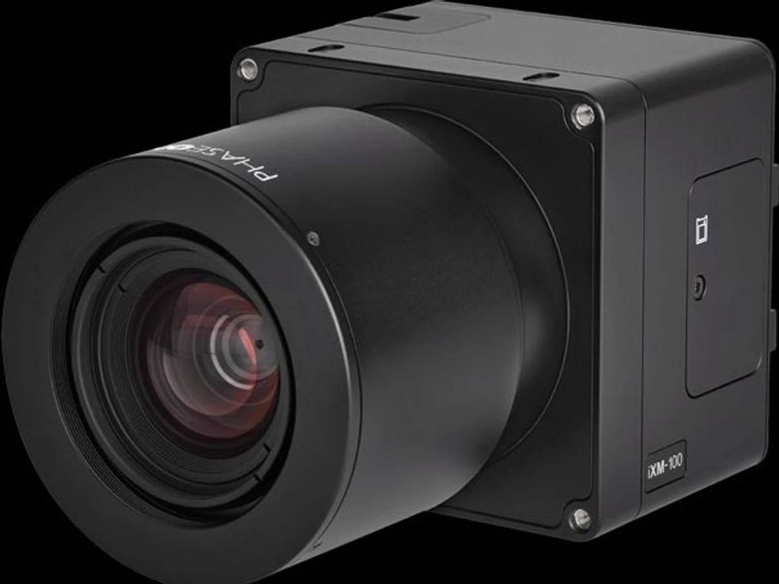
Headquartered in Copenhagen, Phase One builds imaging systems with high resolution for uses such as aerial mapping, industrial inspection and security. Mapping companies and public-sector agencies around the world use photogrammetry software made by SimActive. Phase One’s imaging products on NomyParts include the iXM-100, the iXM-GS120 and the P3 Payload. The announcement does not name which camera models the workflow covers.

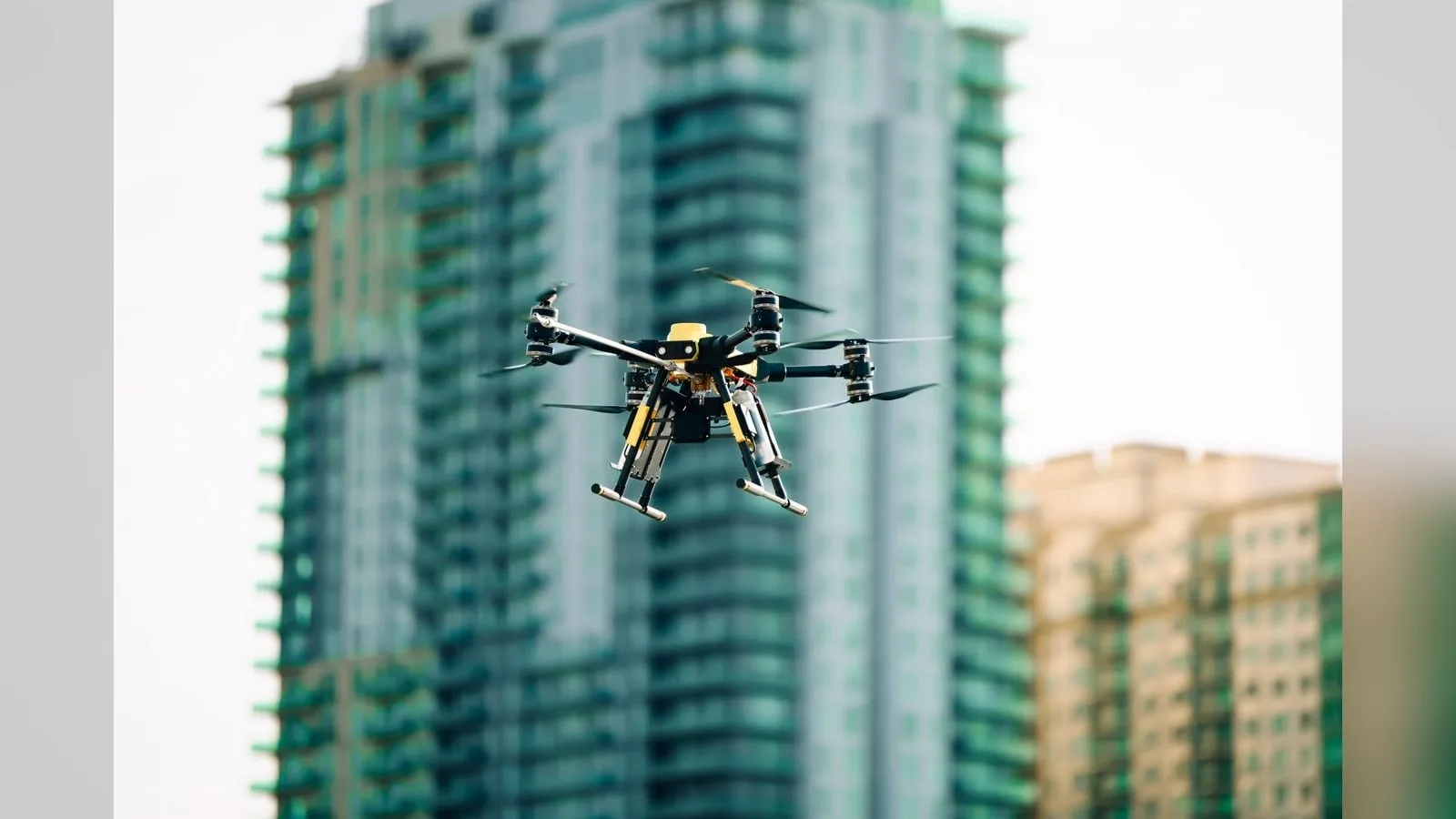
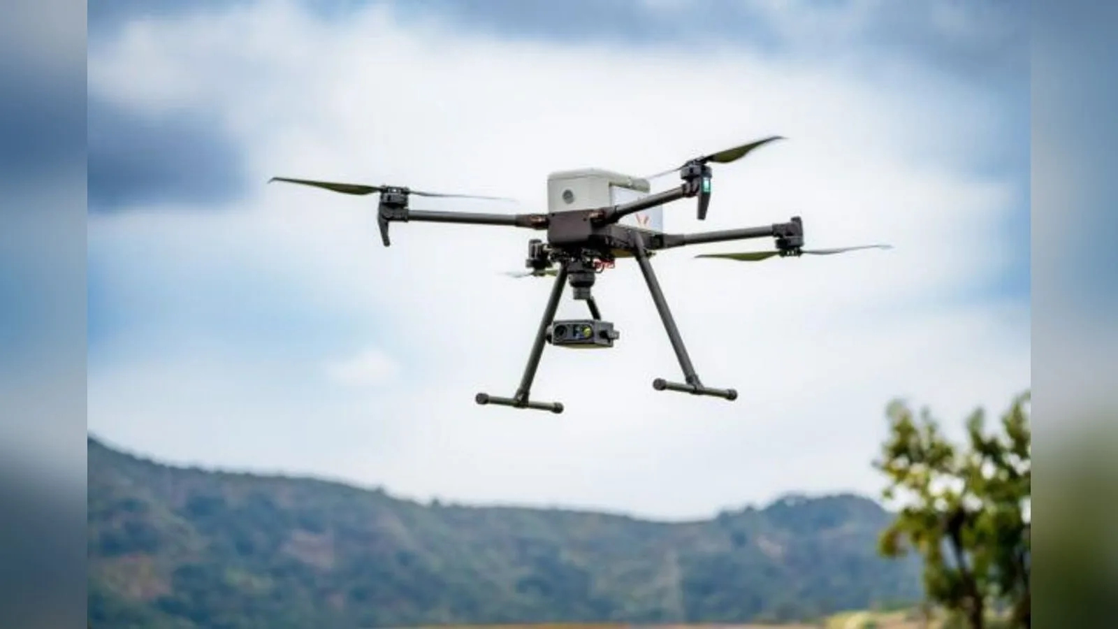

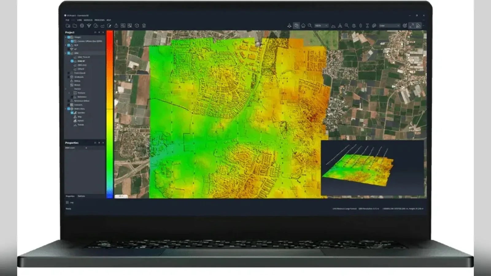
Source: DroneLife: SimActive and Phase One Streamline Large-Scale Defense Mapping
Was this article useful?
Thanks for your feedback. You can change your answer at any time.
Latest news
Latest news
Companies in this article
 Payload · 3
Products in this article
 Featured
 Featured
 FeaturedLiDAR
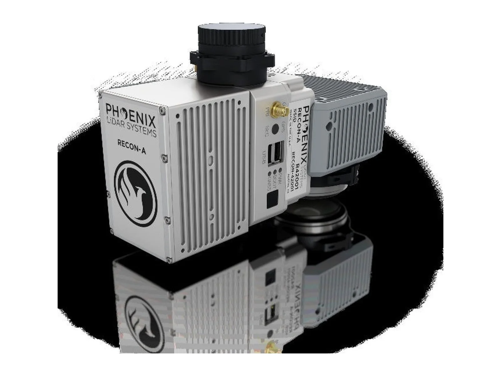
RECON-A integrated airborne LiDAR mapping payload
- Max range
- 190 m
- Accuracy
- 20 mm
- Point rate
- 720,000 pts/s
 Featured
Related articles
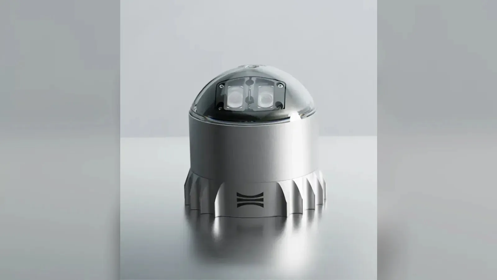
Ouster L3 chip powers REV7 lidar lineup with OSDome
Ouster's REV7 lidar family, built on the L3 digital chip, spans the OS0, OS1 and OS2 plus the new 180° hemispherical OSDome. Ouster claims higher range and finer precision with no change in sensor size or weight.

Gremsy and NINANO sign MoU on EO/IR payload integration
Gremsy has signed a memorandum of understanding with South Korean UAV manufacturer NINANO to explore integrating Gremsy's EO/IR camera payloads into NINANO's unmanned platforms. The agreement sets a framework for technical collaboration…
Trillium adds lower-cost MWIR HD59 gimbals for tactical UAS
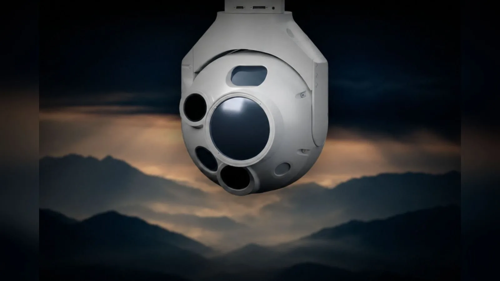
For tactical UAS, two new HD59 variants from Trillium Engineering, the HD59-MVV-C and the HD59-MLVV-C, pair MWIR imaging with a built-in laser rangefinder and laser pointer. Trillium puts system cost more than 30 percent below traditional…
Navigator bathymetric LiDAR joins EU SeaDeep sea farm project
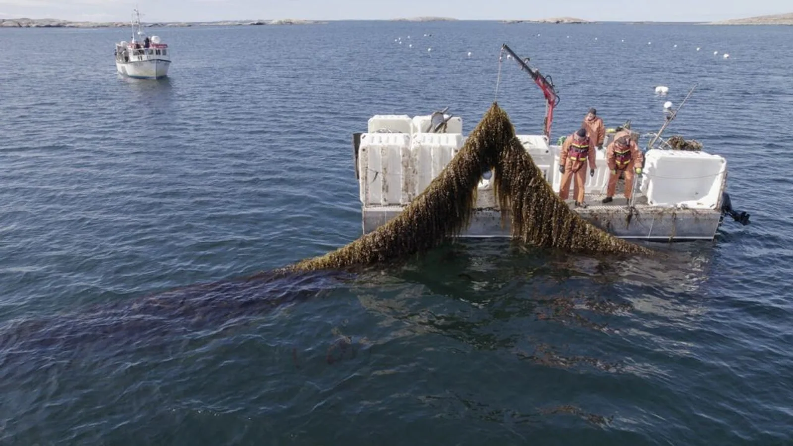
YellowScan and VisionAir Production AB join SeaDeep, a European aquaculture project, to study the Navigator topo-bathymetric LiDAR on sea farms and algae production sites. The drone-borne sensor maps above and below the waterline within a…