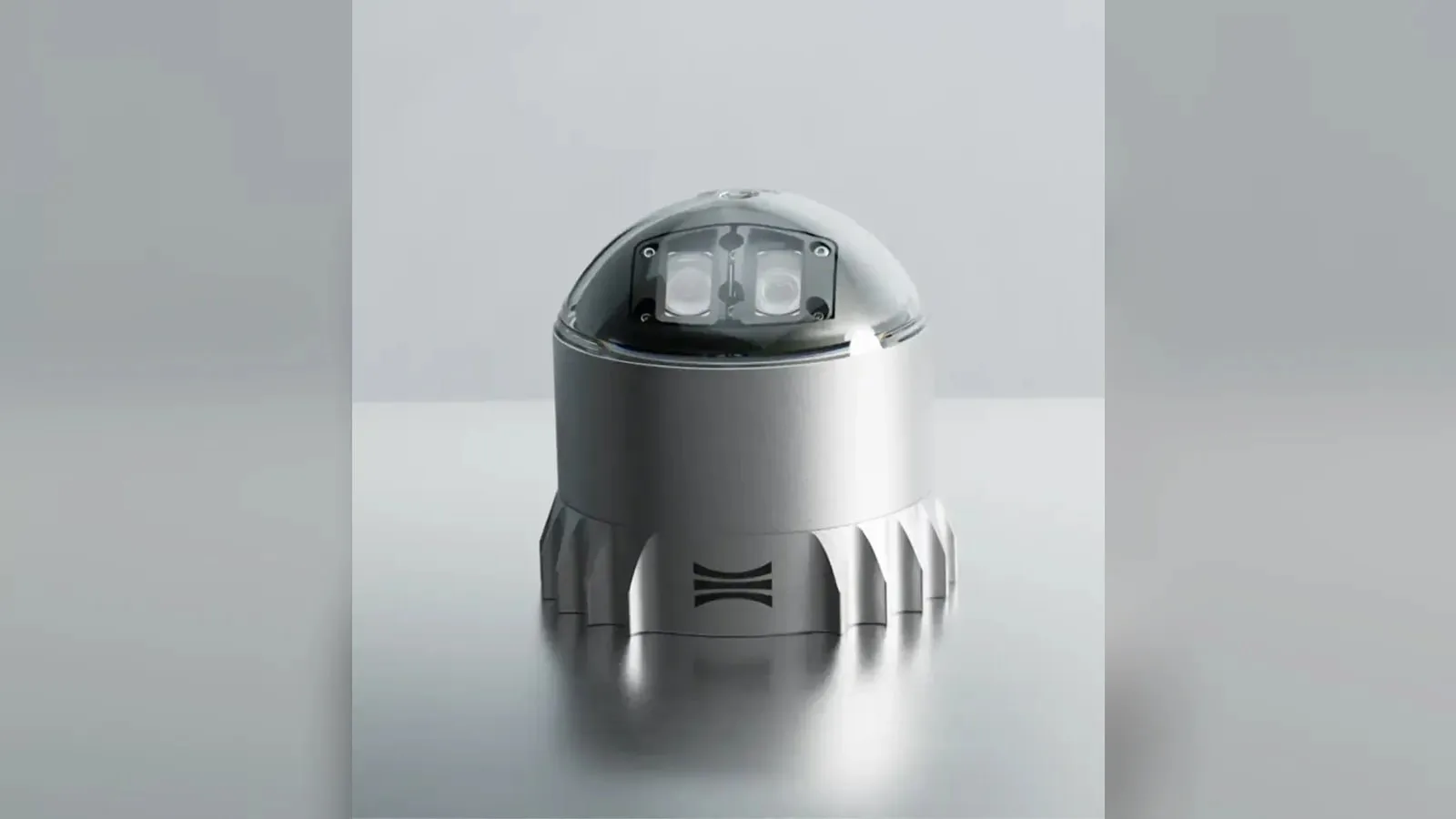
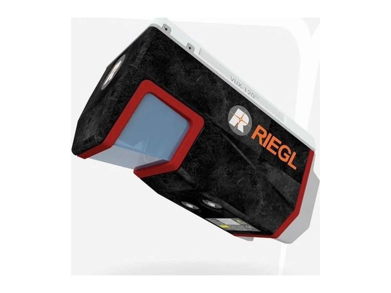
VUX-120 is a laser ranging sensor that uses laser measurements to capture distances or spatial information. It supplies range data for an integrated sensing installation, with mounting geometry and the host data interface defined for the intended application.
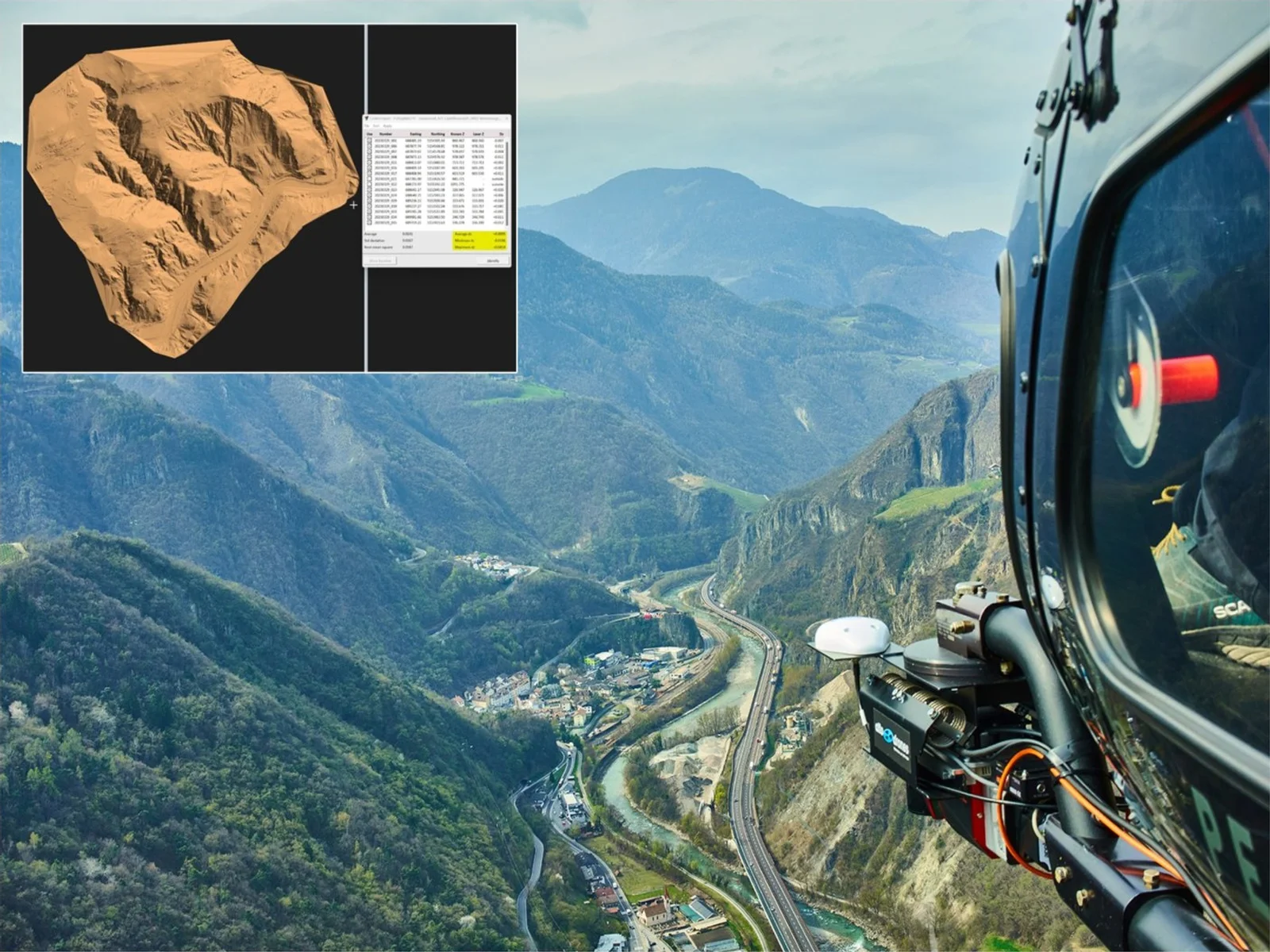
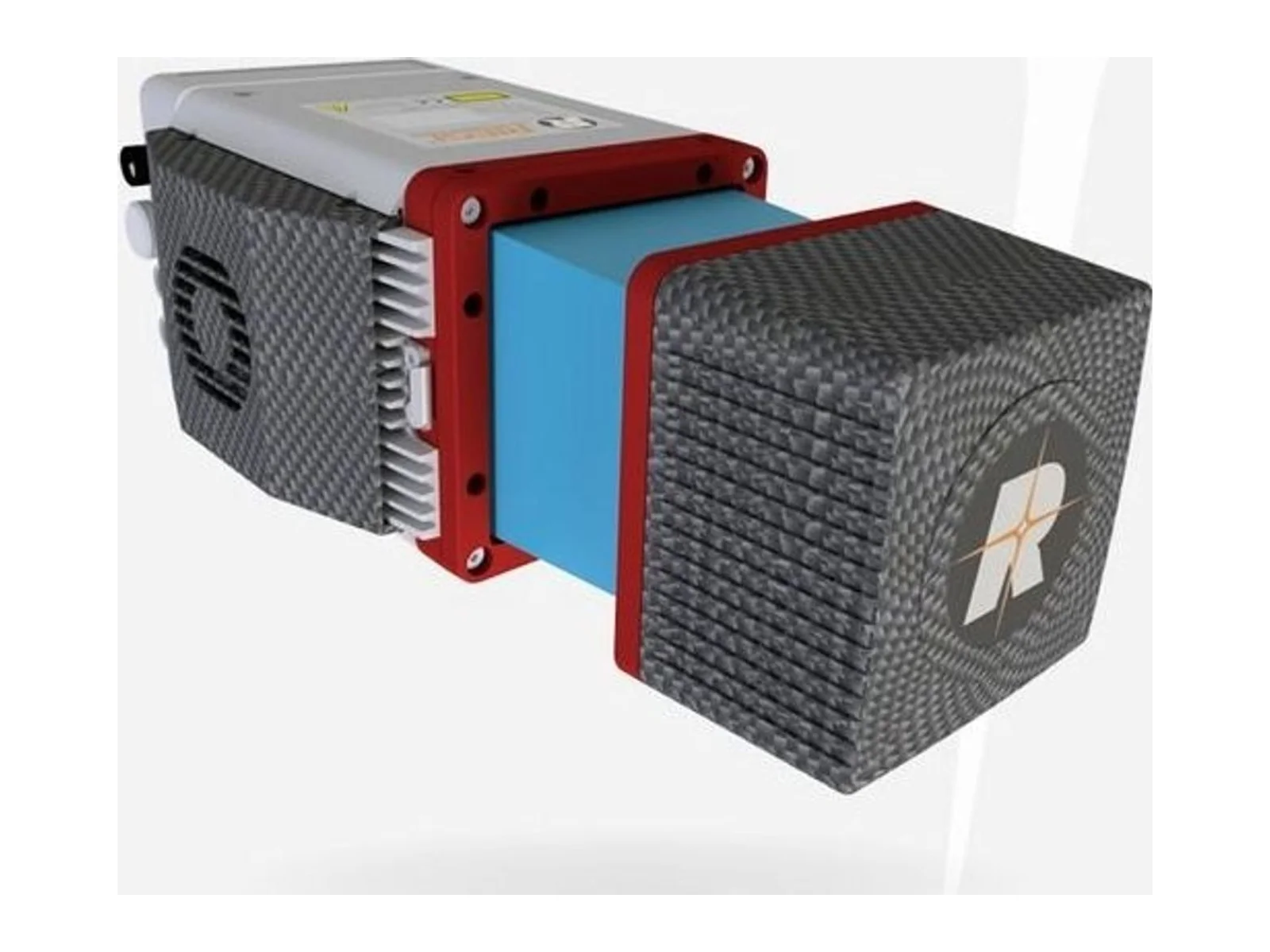
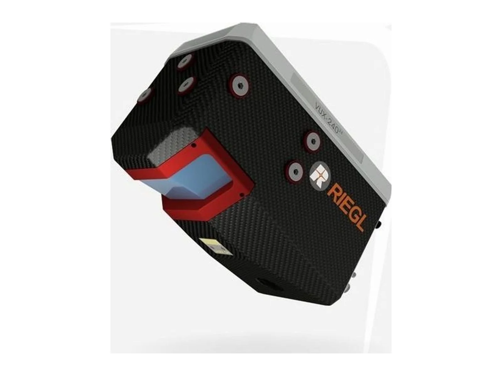
The RIEGL VUX-120 (VUX-120-23) is a laser ranging sensor for uncrewed aircraft, made by RIEGL Laser Measurement Systems. It is a lightweight airborne LiDAR scanner with a field of view of 100 degrees and a laser pulse repetition rate of up to 2.4 MHz, designed for high point-density corridor mapping and other aerial surveying from UAS, UAV and RPAS platforms, small manned aircraft and helicopters.
Its distinguishing feature is the Nadir/Forward/Backward (NFB) scan pattern. The beam is emitted in three directions in turn: straight down, 10 degrees forward and 10 degrees backward in the swath center (15 degrees at the swath edges). This samples vertical surfaces such as building facades, masts and poles, and reaches the bottom of narrow canyons, giving a more complete 3D data set than a single-direction scan.
The main figures are an accuracy of 10 mm and a precision of 5 mm (one sigma at 150 m range under RIEGL test conditions), a minimum range of 5 m, a measurement rate of up to 2,000,000 measurements per second and a scan speed of 50 to 400 lines per second. Maximum range depends on the pulse repetition rate: on natural targets with 20 percent reflectivity it is 760 m at 150 kHz and 200 m at 2400 kHz, and the maximum operating flight altitude above ground is up to 720 m for 60 percent targets. The sensor records up to 32 targets per pulse at the lower repetition rates, falling to 5 at 2400 kHz, using echo signal digitization, online waveform processing and multiple-time-around processing. The laser beam divergence is 0.4 mrad, so the footprint is 40 mm at 100 m.
For integration, the scanner has two LAN 10/100/1000 Mbit/s ports, a serial RS-232 GNSS interface with a 1 pps input, TTL control lines, and camera interfaces that supply power, trigger and exposure signals for up to two external cameras. An IMU interface is optional. The supply is 11 to 34 V DC at typically 45 W. The sensor measures 242 mm by 117 mm by 126 mm with its interface box and weighs about 2.3 kg without an IMU/GNSS system. It has IP64 protection and works from -10 to +40 degrees C. It stores data on an internal 2 TB SSD and a removable CFast card. RIEGL offers it with its RiLOC-E25 and RiLOC-F IMU/GNSS systems or with Applanix units, as a ready-to-fly system.
The laser is a Class 1 product under IEC 60825-1. Typical applications are power line, railway and pipeline inspection, open-cast mining topography, urban surveying, archaeology and cultural heritage documentation, and agriculture and forestry.
Specifications
Specifications · VUX-120 laser ranging sensor
General
Grade
Professional
Market
Civil
Platform class
Small UAS (<25 kg), Large UAS (25–150 kg), Heavy UAS (>150 kg), Manned aircraft
Ouster's REV7 lidar family, built on the L3 digital chip, spans the OS0, OS1 and OS2 plus the new 180° hemispherical OSDome. Ouster claims higher range and finer precision with no change in sensor size or weight.
Gremsy has signed a memorandum of understanding with South Korean UAV manufacturer NINANO to explore integrating Gremsy's EO/IR camera payloads into NINANO's unmanned platforms. The agreement sets a framework for technical collaboration…
SimActive launches an integrated workflow that brings Phase One aerial imagery into its Correlator3D photogrammetry software for large-scale defense mapping. The link targets the processing stage, where users who collect tens of thousands…











 Featured
 Featured
 Featured
 Featured
 Featured
 Featured
 Featured
 FeaturedLiDAR