Featured
Altimeters
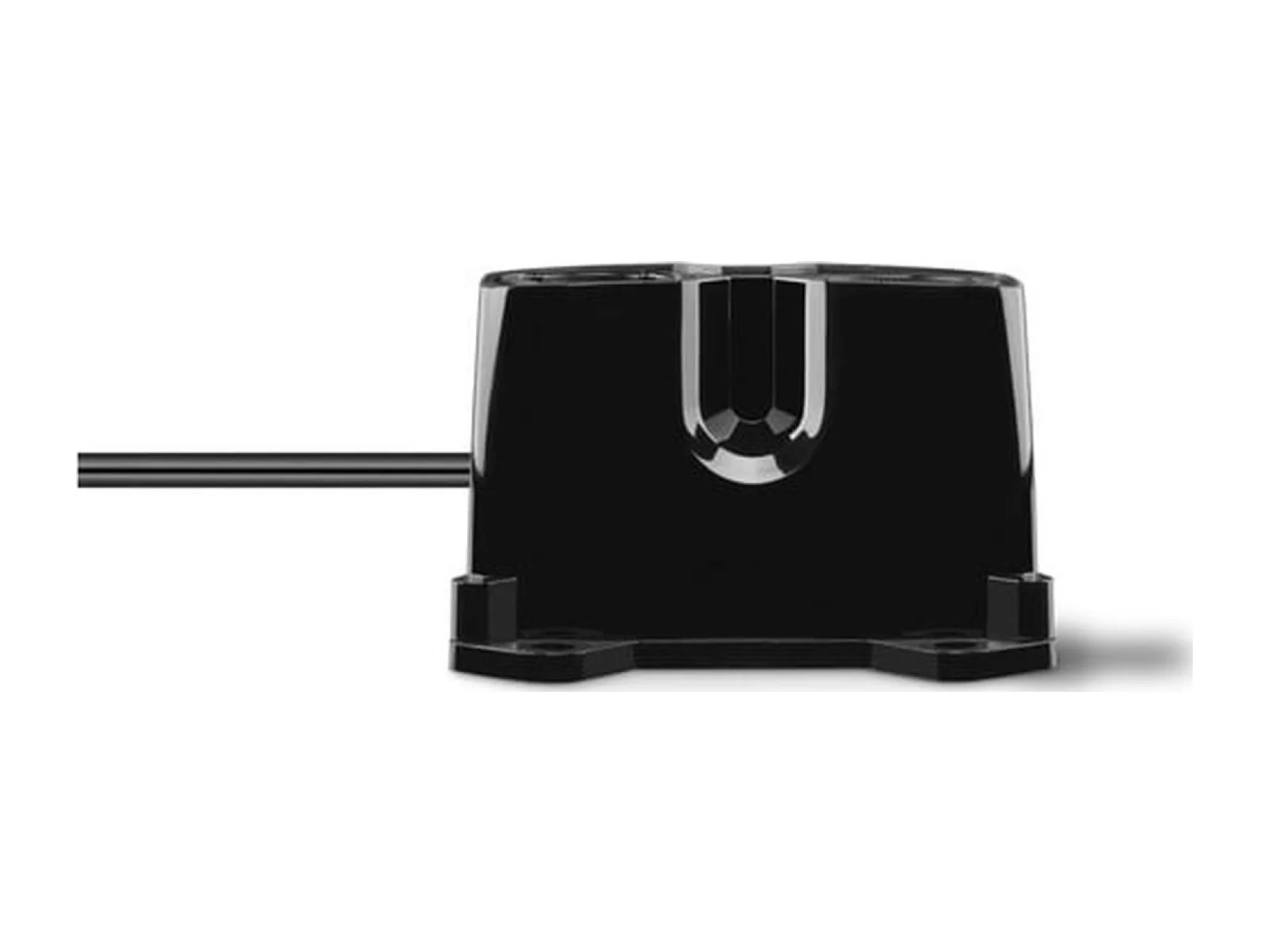
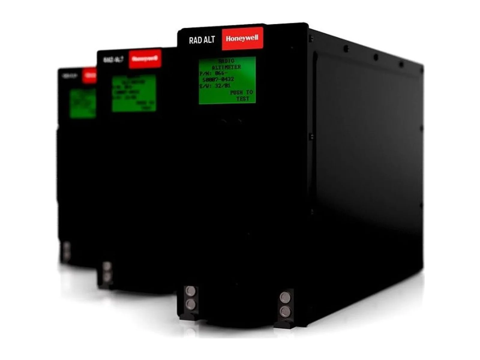
Radar altimeter series altitude or distance sensor
- Sensor technology
- Radar
- Grade
- Professional
- Market
- Dual-use
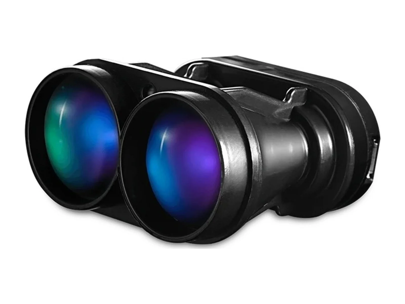
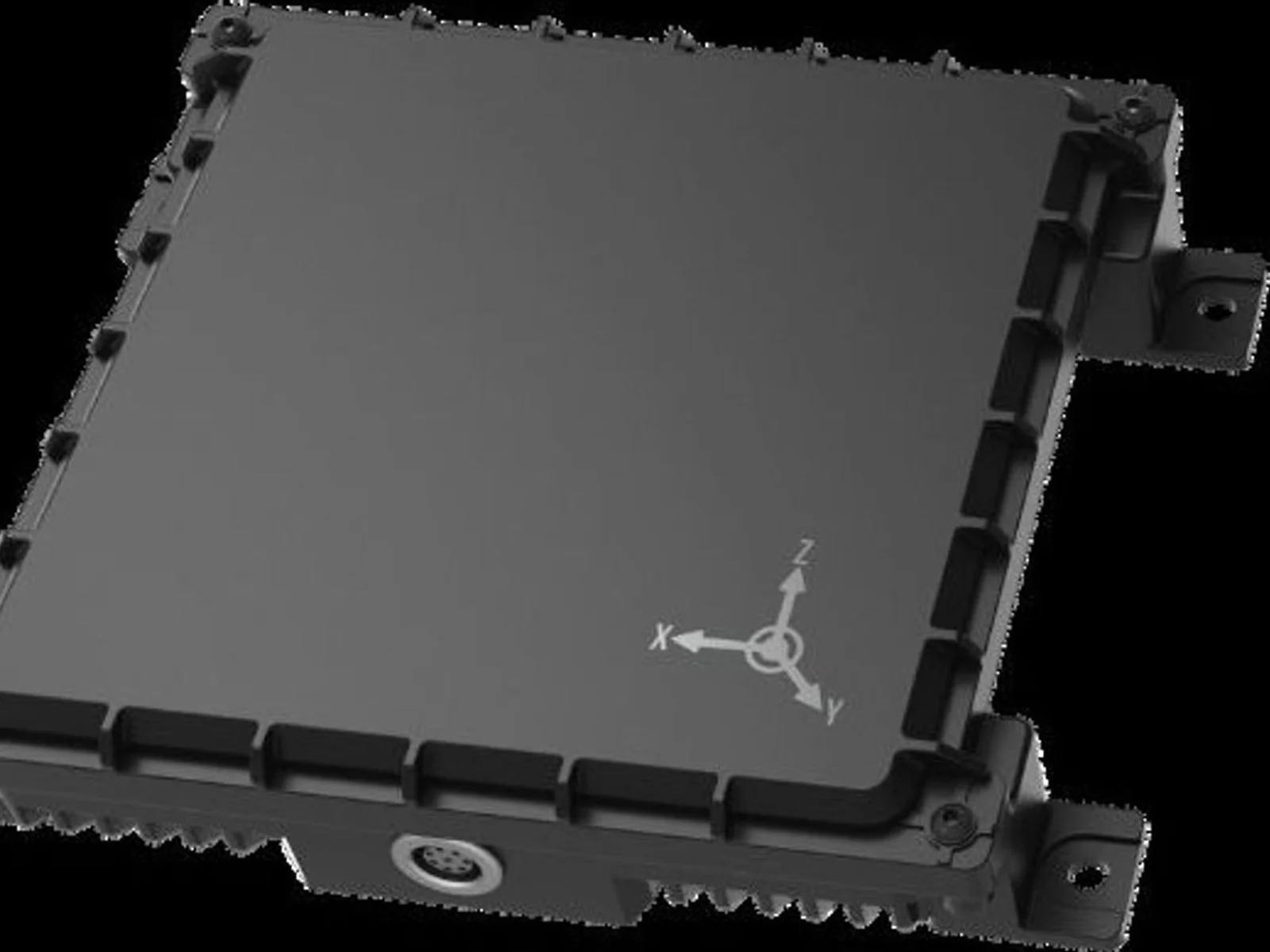
Radar altimeters, laser rangefinders and barometric altimeters that measure height above ground and flight level.
Filters
Try removing a filter.



Updated November 3, 2026
Altimeters tell the aircraft how high it is. Barometric altimeters give height relative to a pressure reference, which is what air traffic uses. Radar and laser altimeters measure the actual distance to the ground below, which is what matters for terrain following, precision landing and low-level flight.
| Type | Measures | Strengths | Limits |
|---|---|---|---|
| Barometric | Pressure altitude | Light, cheap, always available | Drifts with weather; disturbed by rotor wash |
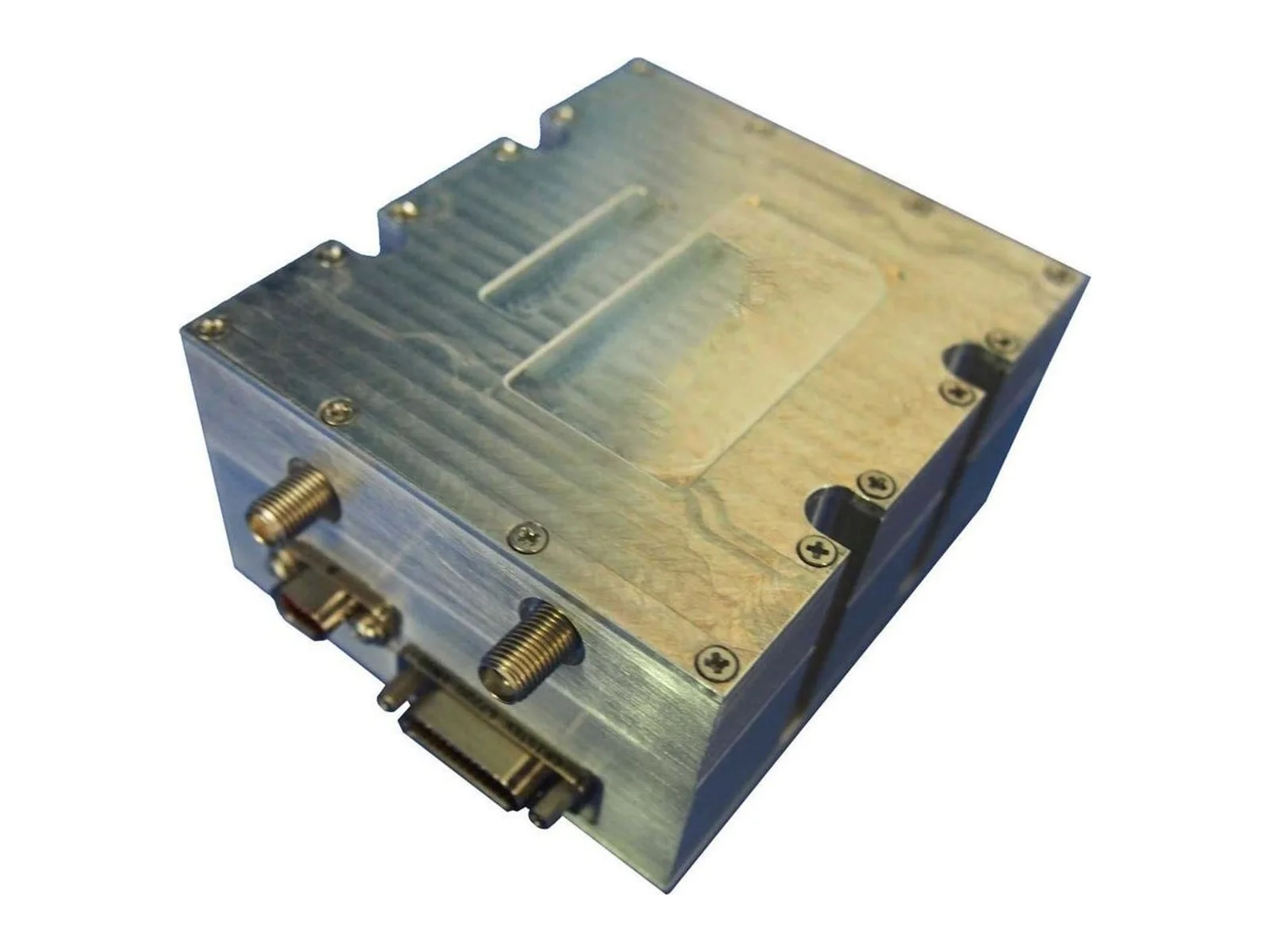
| Radar altimeter | Height above ground | Works in dust, fog, rain, night | Mass and power on larger units |
| Laser altimeter / rangefinder (LiDAR) | Height above ground or distance | Precise, light, narrow beam | Affected by fog, dust and some surfaces |
Certified radar altimeters operate in the 4.2–4.4 GHz aviation band; compact drone radar altimeters often use other bands.
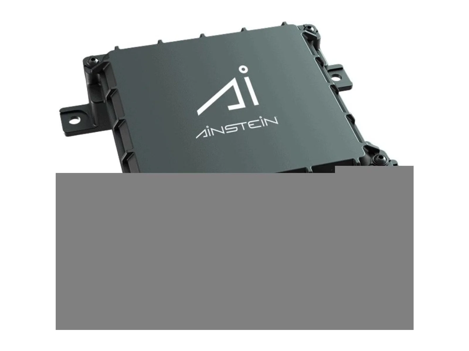
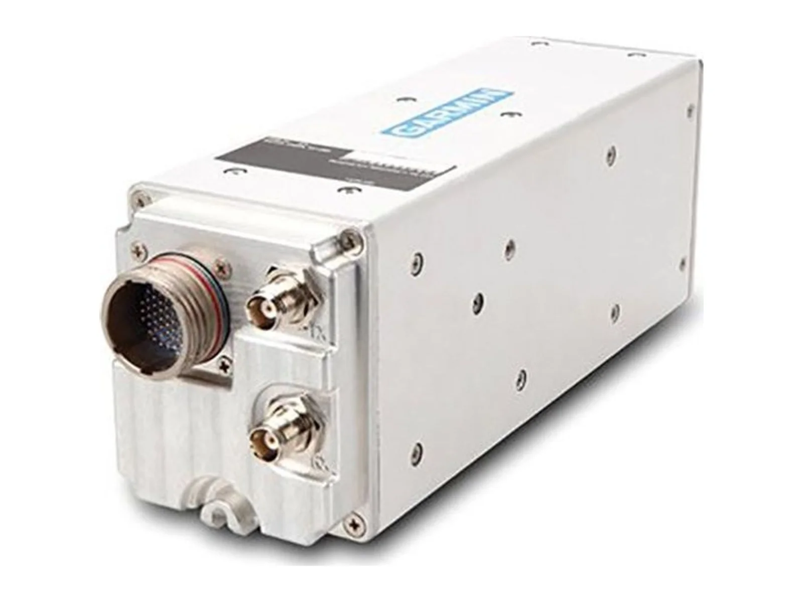
Examples include Honeywell Aerospace, Garmin, Ainstein and LightWare.
A barometric altimeter infers altitude from air pressure, relative to a reference such as sea level. A radar altimeter measures the actual distance to the ground directly below the aircraft.
For many small drones, yes: it is light and precise. Radar is preferred when the aircraft must work in fog, dust, rain or over water, where laser measurements can fail.
Rotor downwash and ground effect change the local pressure around the sensor, and weather changes the reference. Height-above-ground sensors are used for low-level flight and landing.
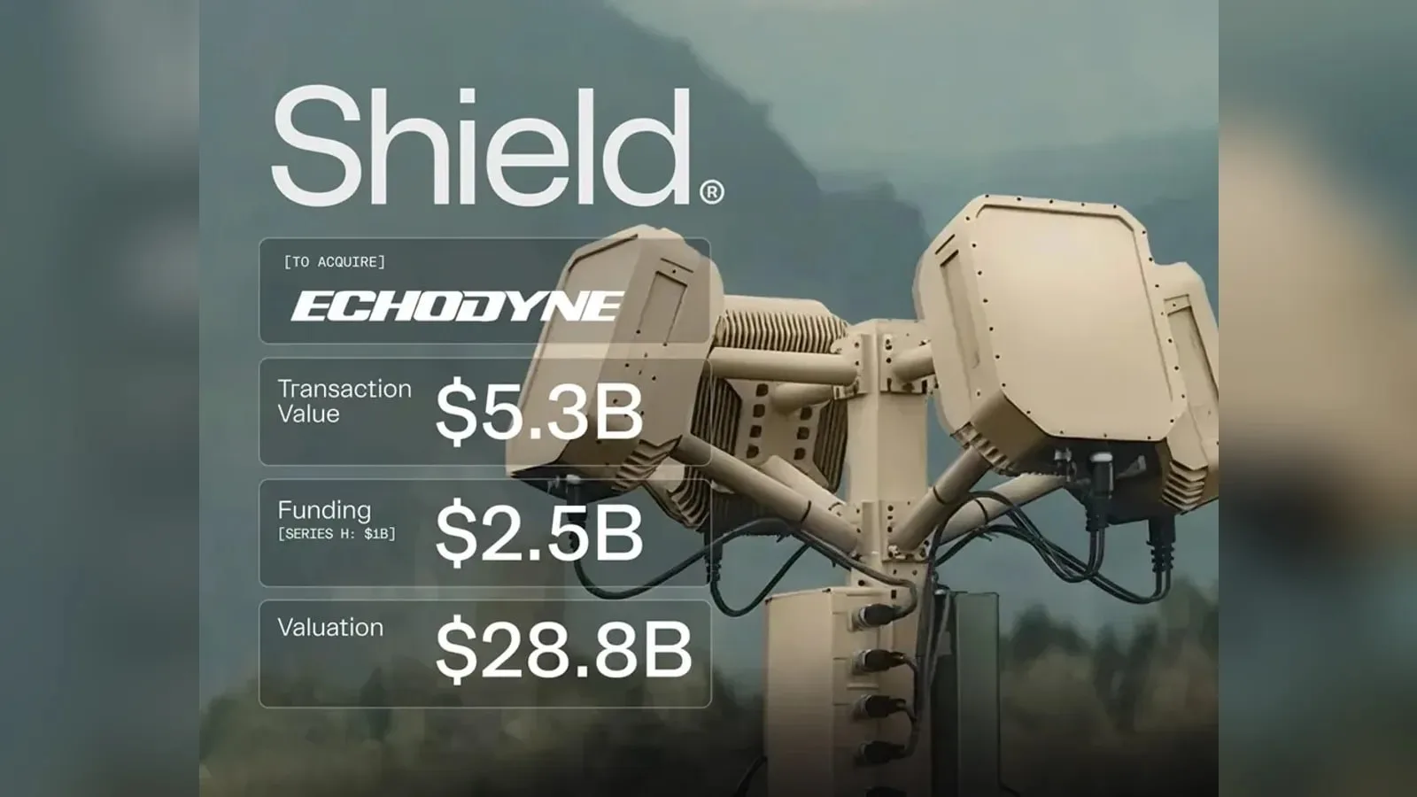
Shield agrees to buy Echodyne, the Kirkland-based radar maker, in a deal valued at $5.3 billion. The purchase brings software-defined MESA radars, used in counter-UAS systems and for UAS detect-and-avoid, into Shield's Mission Systems…
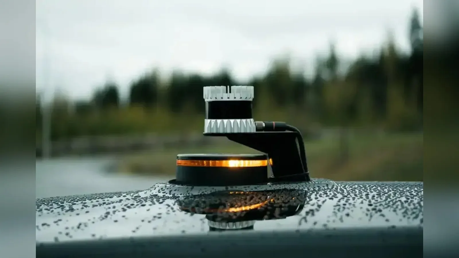
Ouster releases Firmware 3.2 for its lidar sensors, adding on-sensor 3D zone monitoring, optical window blockage detection and time-synchronized IMU data. The update shifts occupancy logic and motion compensation from the host computer to…
Shield has agreed to buy Echodyne, the Washington-based maker of MESA radars for counter-UAS and airspace sensing, for $5.3bn. Echodyne's radars stay available as standalone products, and the deal adds production capacity for the sensor…