SeaDeep runs from 2026 to 2029 and brings together 30 partners from 11 countries, among them research institutes, technology developers, aquaculture companies, fisheries stakeholders and industry networks. The Swedish Environmental Research Institute (IVL) coordinates the project, which aims to develop, test and demonstrate solutions in real production environments. The European Union co-funds it, and the consortium met for its inaugural meeting on Sept. 10, 2026.
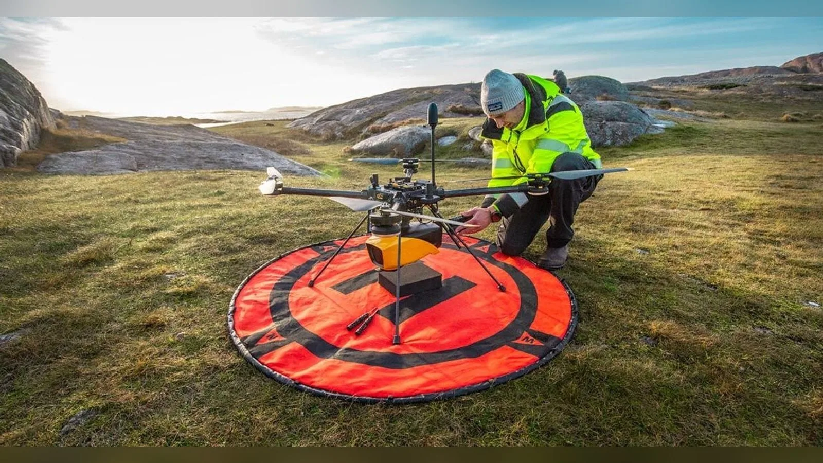
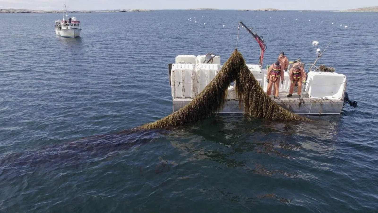
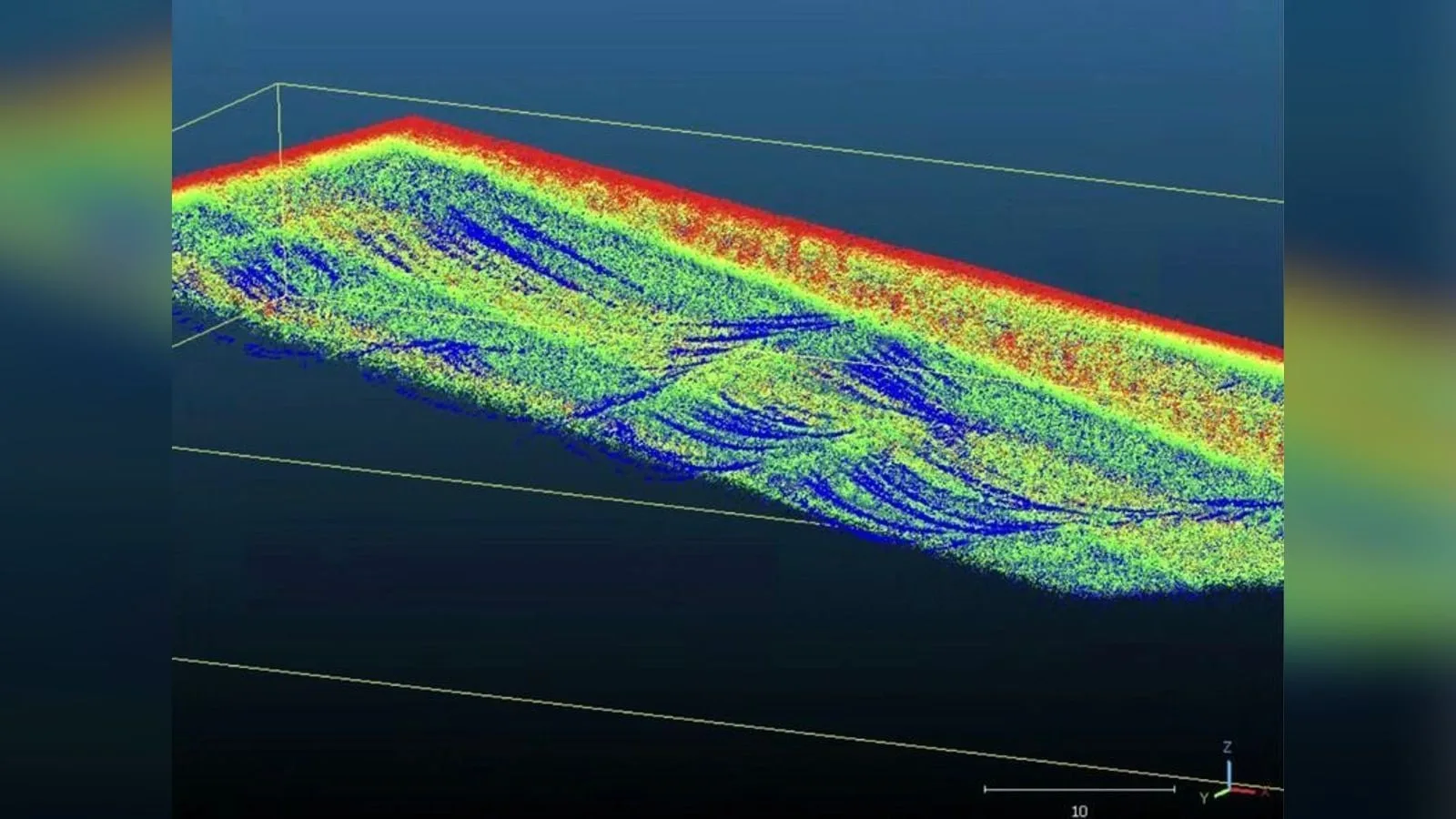
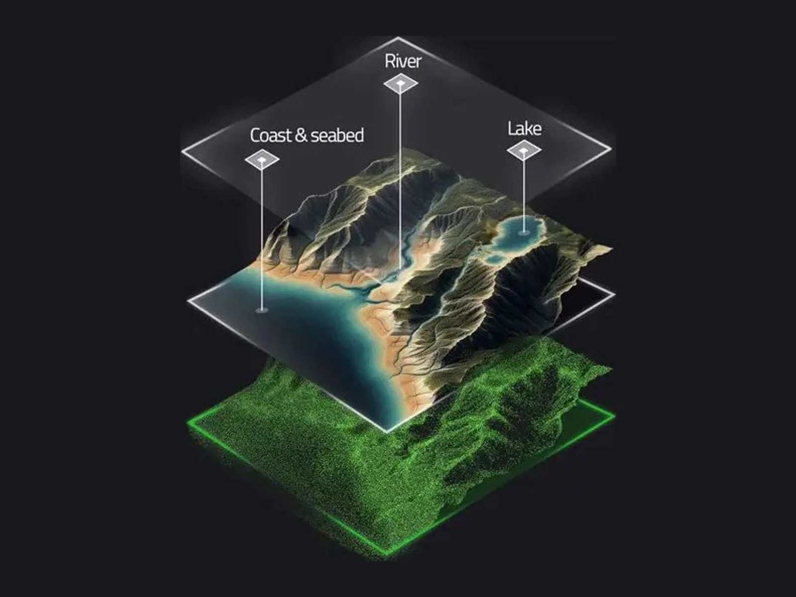
Together with VisionAir Production AB, YellowScan is studying how the Navigator can help supervise sea farms and algae production facilities. The sensor maps coastal environments above and below the water surface simultaneously, producing detailed 3D digital twins that show farm infrastructure, seabed conditions and environmental change.
Navigator combines a green laser with a scanner developed in-house by YellowScan. Its 40° field of view is the maximum angle at which a green laser performs effectively underwater. Maximum depth is rated at 2 Secchi, a unit tied to water clarity: if 1 Secchi equals 2.2 m, a 2 Secchi system measures to roughly 4.4 m. The system operates at up to 100 m above ground level (AGL), weighs 3.7 kg without battery and has a typical endurance of 45 minutes. A built-in global shutter camera supplies colorization, and CloudStation software handles water classification, surface detection and underwater point correction for refraction.




Why it matters
YellowScan builds LiDAR payloads for UAVs, and its Mapper line has anchored the range since the company’s start in 2014. The range also includes the Mapper+ and the Voyager, which operates up to 440 m AGL. The Navigator targets river and lake analysis, coastal oceanography, hydraulic structures and dredging.
Navigator is intended for multirotor and helicopter UAVs and mounts through a Gremsy quick-release attachment. With battery, it exceeds the 2.7 kg recommended payload of the DJI M300 and M350. As a Class 3B laser product, it has a nominal ocular hazard distance of 25 m: operators bring the drone quickly to 30 m AGL and keep everyone at least 25 m from the drone or LiDAR while the laser is active.

Was this article useful?
Thanks for your feedback. You can change your answer at any time.
Latest news
Latest news
Companies in this article
 Payload · 3
Products in this article
 Featured
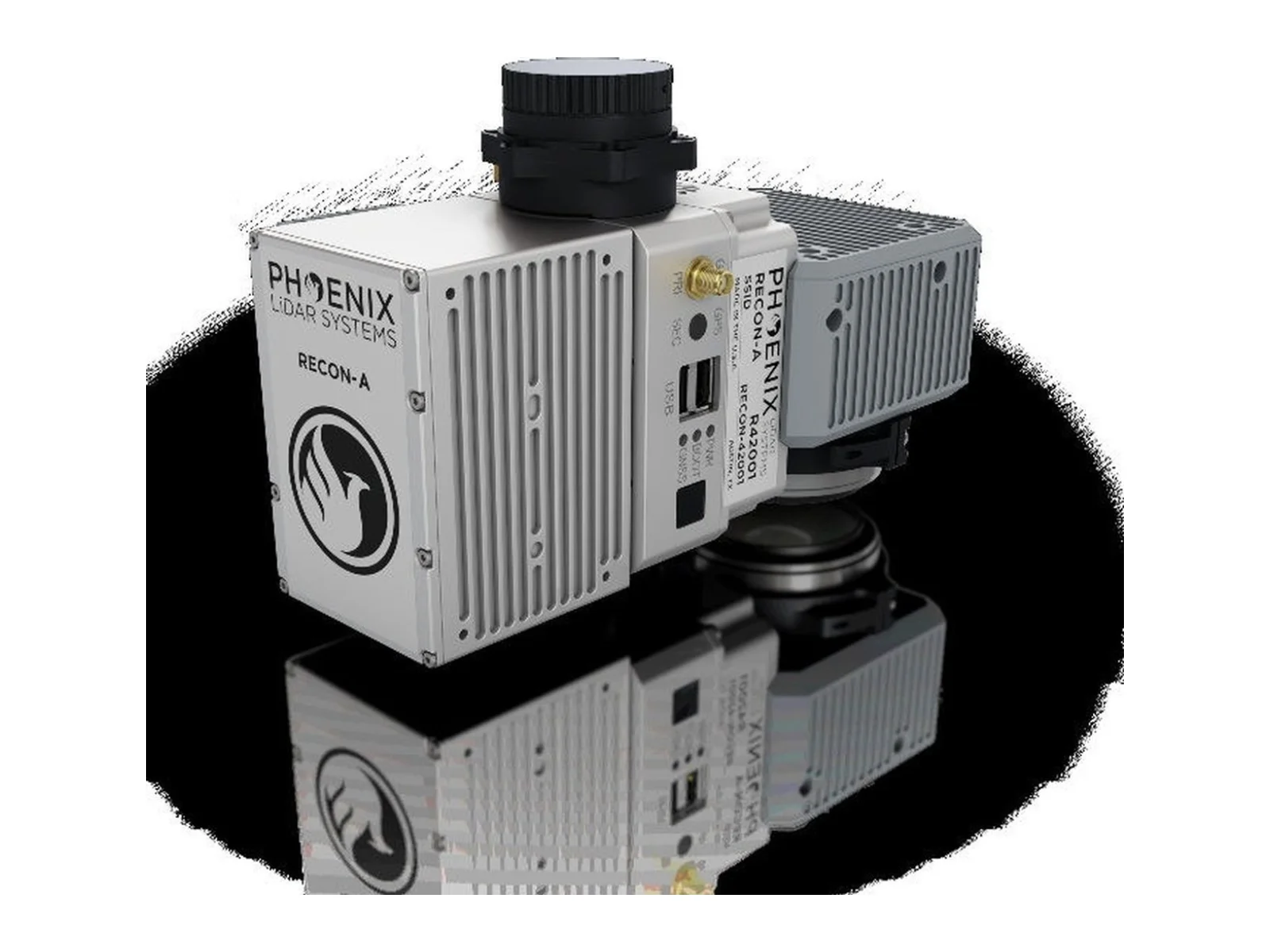 FeaturedLiDAR
RECON-A integrated airborne LiDAR mapping payload
- Max range
- 190 m
- Accuracy
- 20 mm
- Point rate
- 720,000 pts/s
 Featured
 Featured
Related articles
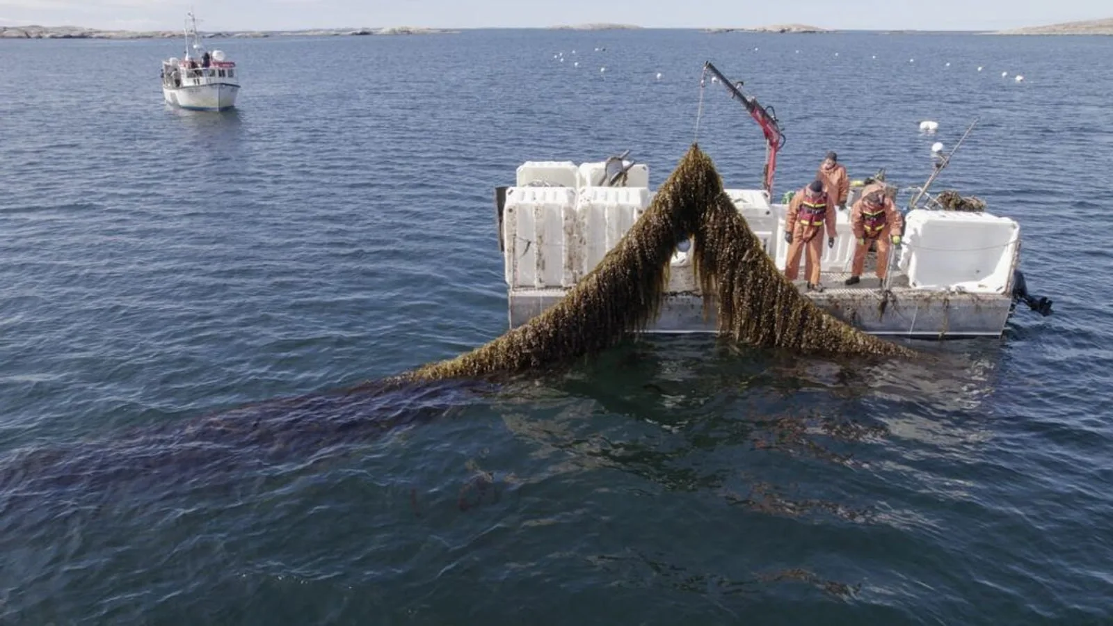
Navigator bathymetric LiDAR joins EU SeaDeep sea farm project
YellowScan and VisionAir Production AB join SeaDeep, a European aquaculture project, to study the Navigator topo-bathymetric LiDAR on sea farms and algae production sites. The drone-borne sensor maps above and below the waterline within a…
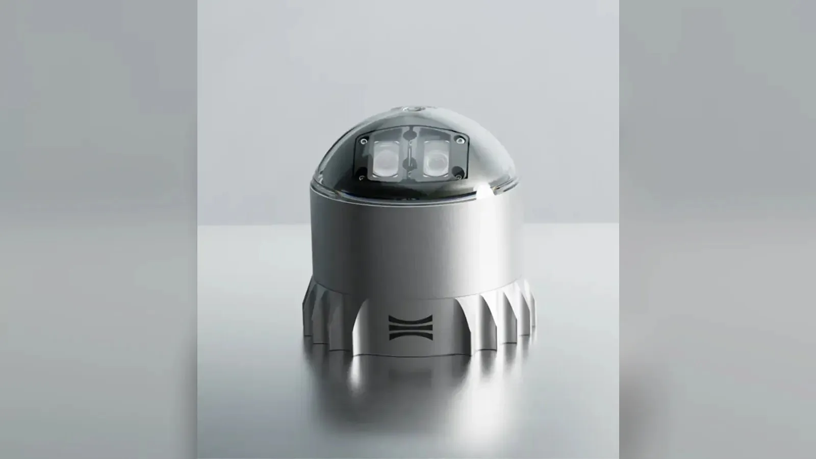
Ouster L3 chip powers REV7 lidar lineup with OSDome
Ouster's REV7 lidar family, built on the L3 digital chip, spans the OS0, OS1 and OS2 plus the new 180° hemispherical OSDome. Ouster claims higher range and finer precision with no change in sensor size or weight.

Gremsy and NINANO sign MoU on EO/IR payload integration
Gremsy has signed a memorandum of understanding with South Korean UAV manufacturer NINANO to explore integrating Gremsy's EO/IR camera payloads into NINANO's unmanned platforms. The agreement sets a framework for technical collaboration…
Phase One imagery feeds SimActive Correlator3D for defense maps
SimActive launches an integrated workflow that brings Phase One aerial imagery into its Correlator3D photogrammetry software for large-scale defense mapping. The link targets the processing stage, where users who collect tens of thousands…