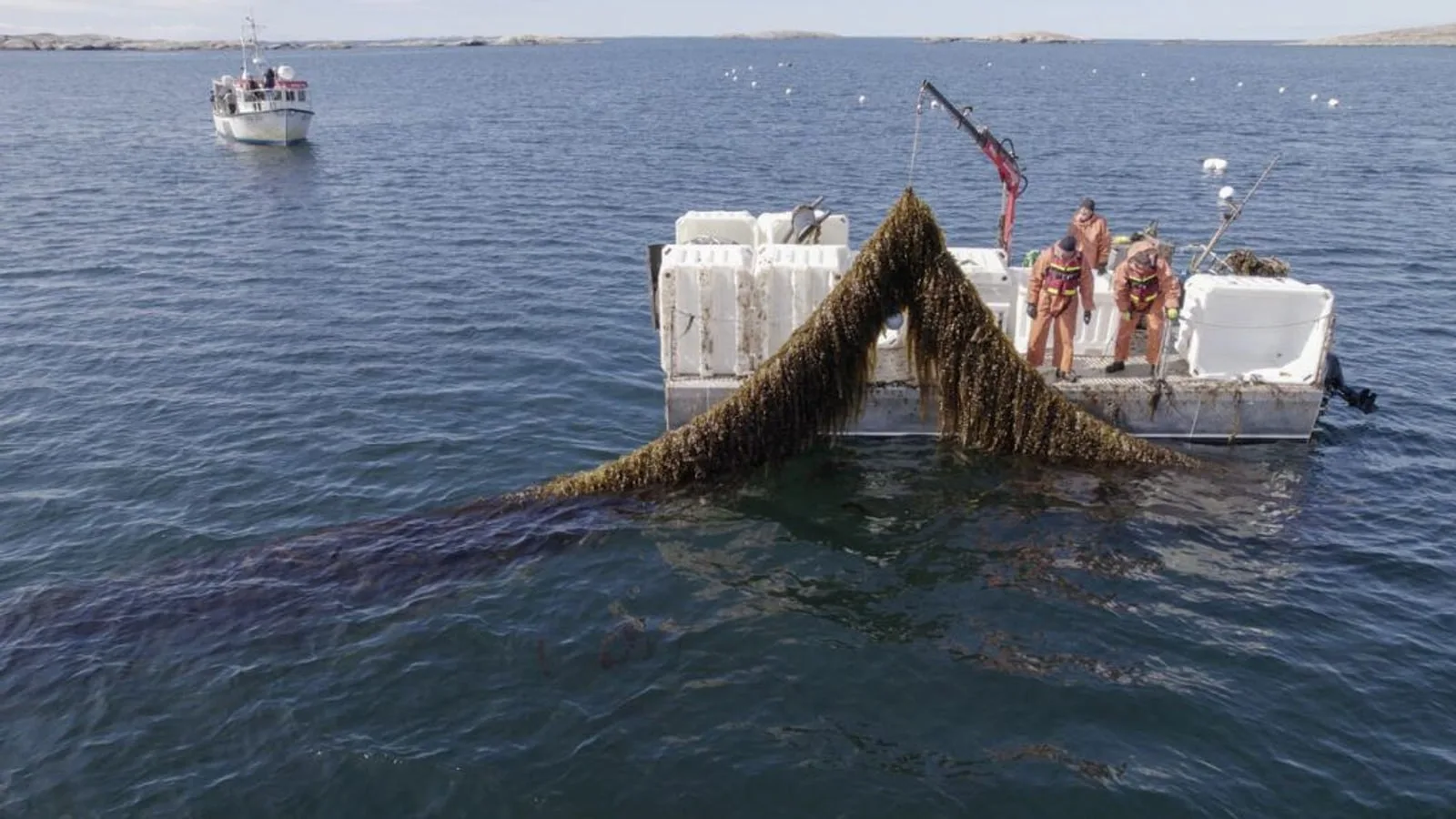
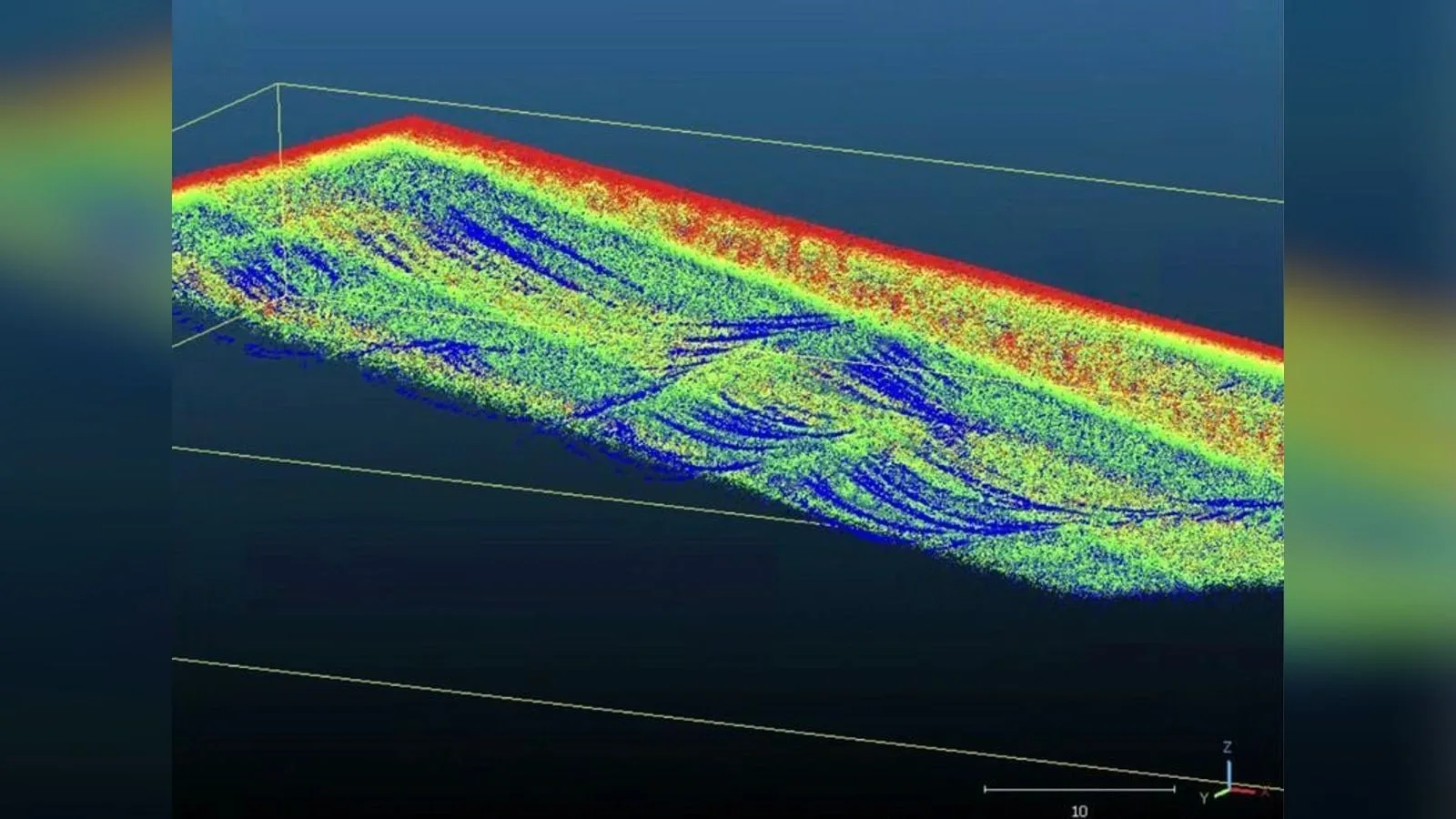
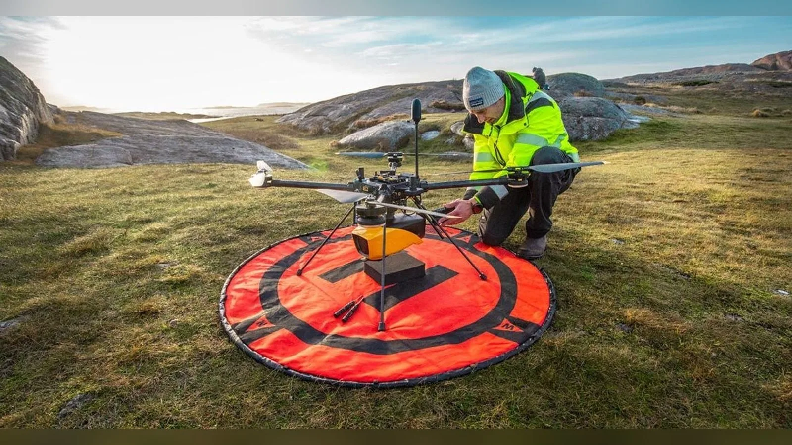
YellowScan and its partner VisionAir Production AB join the SeaDeep consortium, whose kick-off meeting takes place on 10 September 2026. Within the project, YellowScan studies how its Navigator topo-bathymetric LiDAR can support the monitoring of marine farms and algae production sites. The sensor maps coastal areas above and below the surface in one acquisition, producing 3D digital twins of farm infrastructure, seabed condition and environmental change. Background on the sea farm assessment is in YellowScan Navigator LiDAR assessed for SeaDeep sea farms.
SeaDeep runs from 2026 to 2029 with European Union co-funding and tests solutions in real production environments.
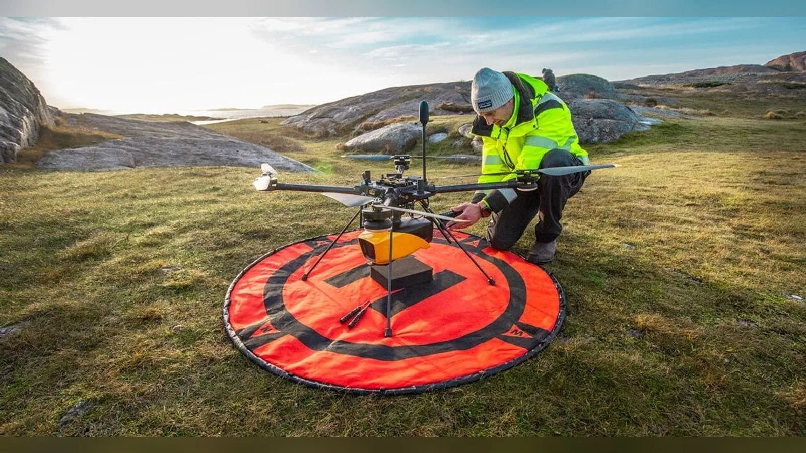
The Navigator combines a laser scanner developed in-house by YellowScan with an SBG Quanta Micro GNSS-inertial unit. Its green laser works with a 40° field of view, the widest angle at which that wavelength performs effectively underwater. Depth capability is rated at up to 2 Secchi, a unit tied to water clarity: where one Secchi equals 2.2 m, the system measures to roughly 4.4 m. The system weighs 3.7 kg without battery, is a Class 3B laser product with a nominal ocular hazard distance of 25 m, and mounts on multirotor or helicopter UAVs through a Gremsy quick-release attachment.






Why it matters
YellowScan has offered airborne LiDAR since 2014, when its Mapper line began. Its range spans the Mapper+, Voyager and Navigator, the last being the bathymetric model. The company lists river and lake analysis, coastal oceanography, hydraulic structure safety and dredging among the Navigator’s applications; SeaDeep adds aquaculture.
For payload integrators, the project places a bathymetric LiDAR in an aquaculture setting, with fisheries operators and other aquaculture stakeholders as potential end users. The Navigator’s flight envelope, with a maximum altitude of 100 m above ground level and a typical endurance of 45 minutes, defines the survey profile that host platforms must support. The sensor’s weight, laser safety distance and mounting interface are the main integration parameters for UAV manufacturers considering it as a payload.

Was this article useful?
Thanks for your feedback. You can change your answer at any time.
Latest news
Latest news
Companies in this article
 Payload · 3
Products in this article
 Featured
 Featured
 Featured
Related articles
YellowScan Navigator LiDAR assessed for SeaDeep sea farms
YellowScan joins the SeaDeep project with VisionAir Production AB to study how its Navigator topo-bathymetric LiDAR can monitor sea farms and seaweed production sites. The EU co-funded programme, which links 30 partners, aims to develop…
Ouster L3 chip powers REV7 lidar lineup with OSDome
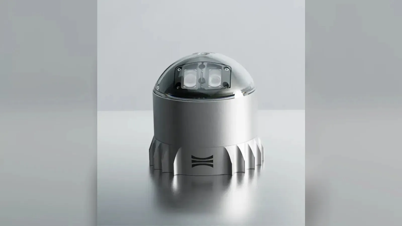
Ouster's REV7 lidar family, built on the L3 digital chip, spans the OS0, OS1 and OS2 plus the new 180° hemispherical OSDome. Ouster claims higher range and finer precision with no change in sensor size or weight.

Gremsy and NINANO sign MoU on EO/IR payload integration
Gremsy has signed a memorandum of understanding with South Korean UAV manufacturer NINANO to explore integrating Gremsy's EO/IR camera payloads into NINANO's unmanned platforms. The agreement sets a framework for technical collaboration…

Phase One imagery feeds SimActive Correlator3D for defense maps
SimActive launches an integrated workflow that brings Phase One aerial imagery into its Correlator3D photogrammetry software for large-scale defense mapping. The link targets the processing stage, where users who collect tens of thousands…