GRA 55 is an altitude or distance sensor that measures separation from a surface or a pressure-based altitude reference. It provides measurement data for the host avionics installation, supporting the aircraft functions that depend on height information.
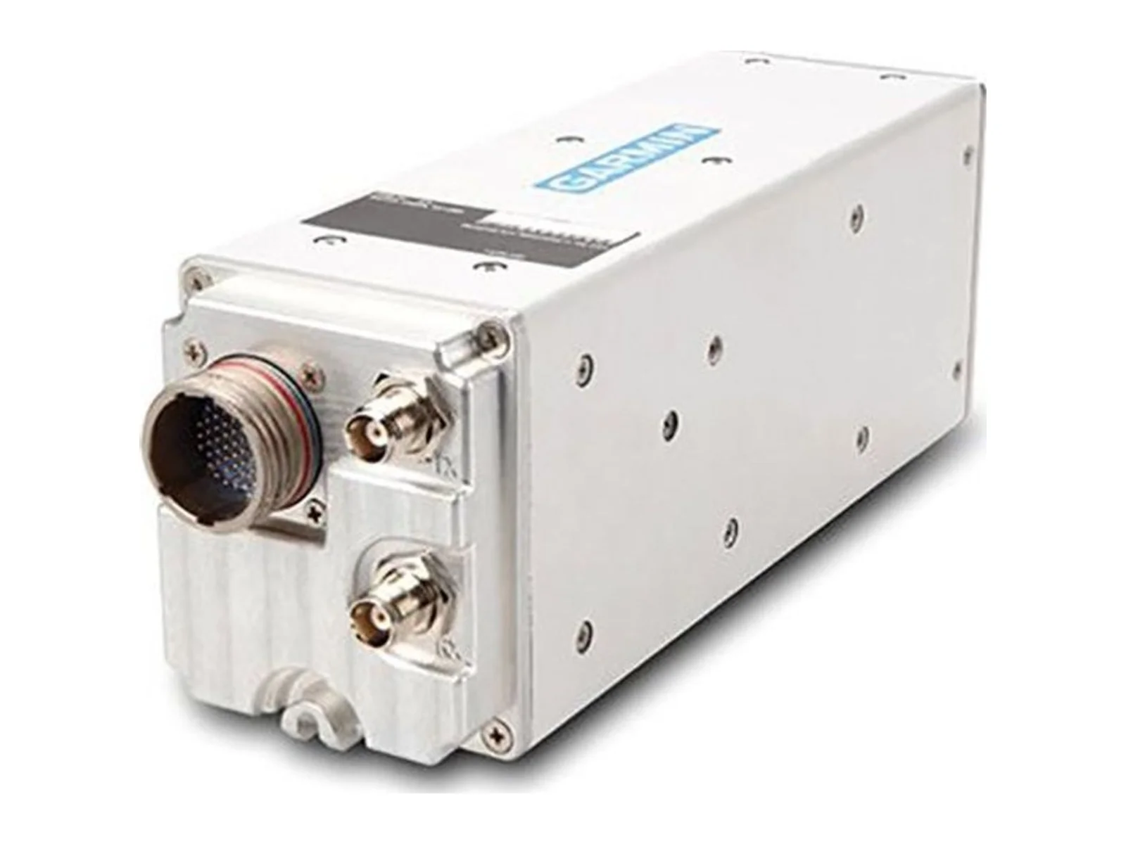
The Garmin GRA 55 is a radar altimeter for general aviation aircraft and helicopters, built by Garmin to give a digital reading of height above ground level. It is a compact, lower-cost unit that uses the same patented technology as the higher-end GRA 5500 radar altimeter.
The GRA 55 measures height from -20 to 2,550 feet AGL. Accuracy is plus or minus 1.5 feet between 3 and 100 feet AGL and plus or minus 2 percent between 100 and 2,500 feet AGL. These figures matter most in landing and low-level flight, where the pilot or an automation system needs a precise margin above terrain. Horizontal velocity is supported up to 200 knots, and vertical velocity up to 20 feet per second below 100 feet AGL and 25 feet per second above it. Pitch and roll are supported to plus or minus 20 degrees with the published accuracy; roll up to plus or minus 30 degrees is covered with plus or minus 20 percent accuracy limits across the range.
Garmin says the system continuously monitors incoming data and system integrity through patented self-testing, and that in most installations this removes the need for pilot input. The maker describes operation over rough terrain, tree canopies, sand and choppy water.
For integration, the GRA 55 is supplied with a mounting rack and hardware. The unit measures 3.99 inches high, 3.02 inches wide and 11.62 inches deep including the rack, and weighs 3.5 lb with it. Power is 14 or 28 VDC input, at 13.75 watts maximum. The operating temperature range is -55 to +85 degrees C, and the aircraft altitude limit is 25,000 feet maximum. The altimeter integrates with Garmin flight displays such as the G500/G600, TXi and GI 275, and with other industry-standard compatible displays, which show the AGL readout.
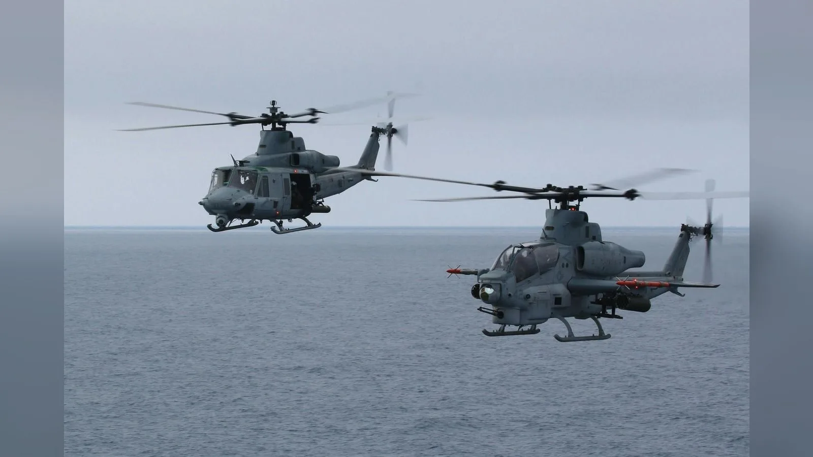
Typical applications are certified and experimental general aviation fixed-wing aircraft and helicopters needing AGL awareness in high-workload landings, in low-visibility conditions or over water and uneven ground.
Specifications
Specifications · GRA 55 altitude or distance sensor
Leonardo DRS secures a three-year IDIQ vehicle from NAVAIR to begin low-rate initial production of its AN/AAQ-45 DAIRCM survivability system for aircraft. The award moves a modular missile-warning and countermeasure suite for small and…
Shield agrees to buy Echodyne, the Kirkland-based radar maker, in a deal valued at $5.3 billion. The purchase brings software-defined MESA radars, used in counter-UAS systems and for UAS detect-and-avoid, into Shield's Mission Systems…
Ouster releases Firmware 3.2 for its lidar sensors, adding on-sensor 3D zone monitoring, optical window blockage detection and time-synchronized IMU data. The update shifts occupancy logic and motion compensation from the host computer to…










 FeaturedGNSS receivers
 FeaturedGNSS receivers
 FeaturedADS-B transponders
 FeaturedADS-B transponders
 FeaturedAltimeters
 FeaturedAltimeters
 FeaturedAltimeters
 Featured