Radar altimeters for UAS is an altitude or distance sensor that measures separation from a surface or a pressure-based altitude reference. It provides measurement data for the host avionics installation, supporting the aircraft functions that depend on height information.
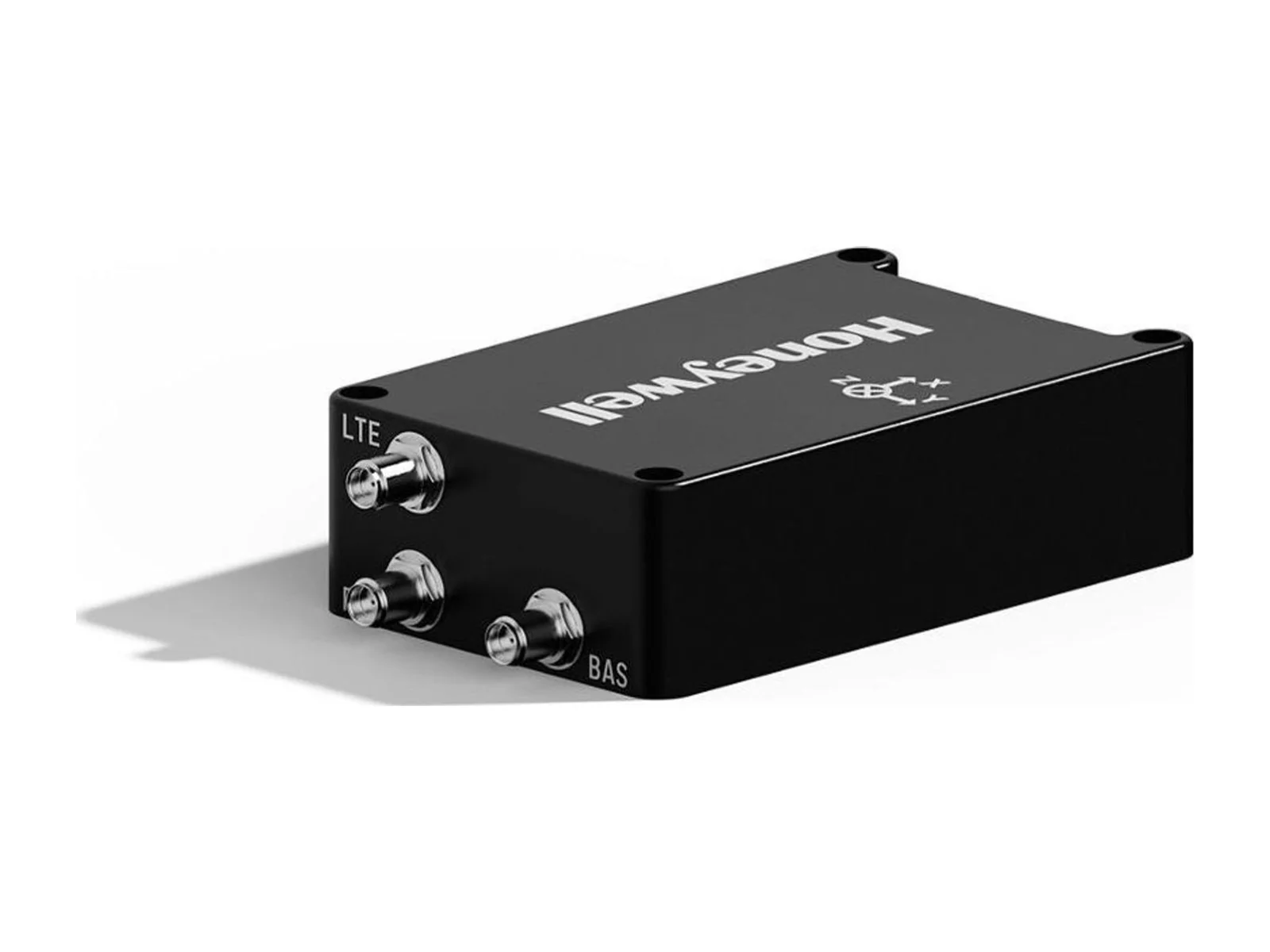
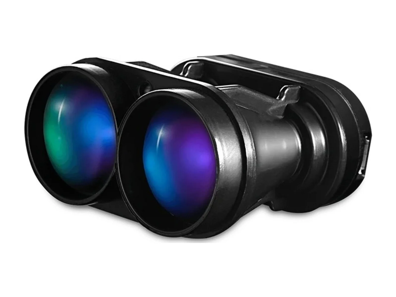
The Radar altimeters for UAS is a radar altimeter for UAS altitude or distance sensor from Honeywell Aerospace with a max range of 2438.4 m and an update rate of 50 Hz. The Honeywell 4504 radar altimeter, listed here as the radar altimeters for UAS altitude and distance sensor, is a radar altimeter (RALT) with an antenna for manned and unmanned flight systems. It measures height above the surface for a flight controller or avionics suite and is described by Honeywell as an all-weather, low-cost system in a small package with low power consumption. The design is derived from a flight-proven radar altimeter for unmanned systems and is intended to meet MIL-STD-810G and MIL-STD-461F.
The measurement performance is specified over an altitude range of 0 to 8,000 ft. Accuracy is +/- 1 ft plus 1% of altitude below 900 ft and +/- 10 ft above 900 ft, which is the band that matters for landing, flare and terrain-following approaches. The update rate is 50 Hz, and the track rate exceeds 5,000 ft/sec, which supports operation on very fast platforms including hypersonic ones. The transmitter radiates a typical maximum of +26 dBm.
The unit operates in the 4200-4400 MHz band with spread spectrum modulation and a deviation above 100 MHz. Honeywell states that front-end filtering and waveform tolerance give resilience to potential 5G interference, and that the waveform is immune to Doppler performance issues that affect conventional pulsed radar altimeters. Transmit and receive isolation of at least 75 dB at or below 4,000 ft, and 80 dB at 8,000 ft, allows a dual-port, single-antenna configuration. Adaptive power control and built-in self-test are included, and up to three altimeters can be used on the same platform in a multi-RALT arrangement.
Integration details are given on the datasheet. The unit measures 3.5 in x 3.0 in x 1.8 in (88.9 mm x 76.2 mm x 44.5 mm) excluding connectors, weighs 1.2 lbs and runs on 18-36 Vdc with ripple below 3 V peak-to-peak. Power draw is 9-15 W DC maximum, depending on configuration and maximum altitude, and the supply is reverse-polarity protected. Operating temperature is -40°C to +77°C and storage temperature -55°C to +125°C. Connectors are SMA(F) for the transmit and receive ports, 9-pin Micro-D for power, and 25-pin Micro-D for RS-422, analog and discrete outputs. Outputs include a configurable analog altitude output up to 20 VDC with programmable slope and offsets and a digital output, with an RS-232 configuration interface.
The accuracy of +/- 50 mV applies to the analog output. Part numbers follow the pattern 4504-100-XXX, with the suffix assigned at the time of order.
Typical applications are altitude hold, automatic landing and terrain clearance for fixed-wing and rotary-wing unmanned aircraft, and height reference for tactical and high-speed platforms.
Specifications
Specifications · Radar altimeters for UAS altitude or distance sensor
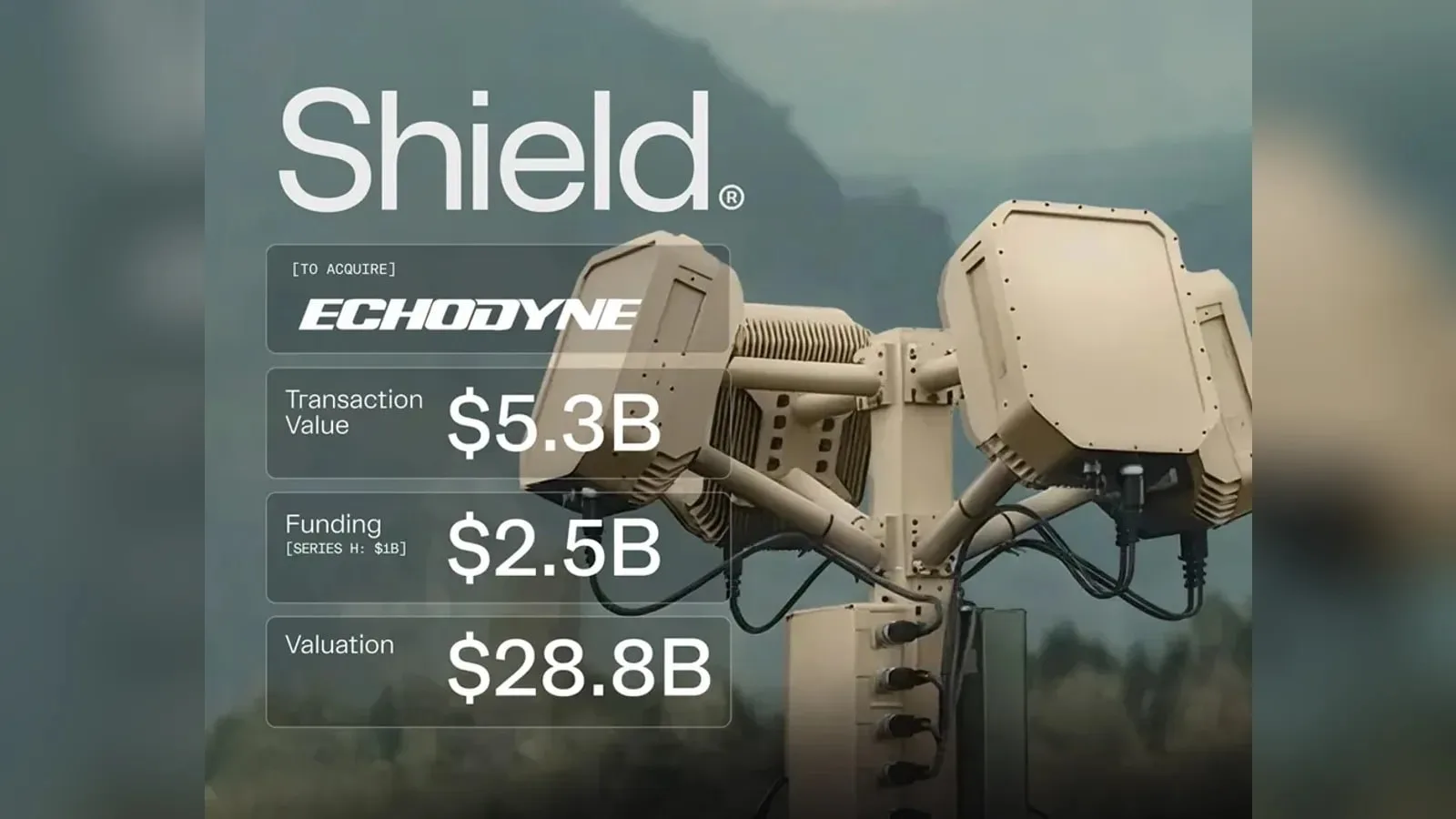
Shield agrees to buy Echodyne, the Kirkland-based radar maker, in a deal valued at $5.3 billion. The purchase brings software-defined MESA radars, used in counter-UAS systems and for UAS detect-and-avoid, into Shield's Mission Systems…
Shield has agreed to buy Echodyne, the Washington-based maker of MESA radars for counter-UAS and airspace sensing, for $5.3bn. Echodyne's radars stay available as standalone products, and the deal adds production capacity for the sensor…
Honeywell Aerospace detailed on May 5, 2022 a test of a Primary, Alternate, Contingency and Emergency (PACE) satcom scheme on its Boeing 757-200 flying testbed, which switched between commercial and military satellite networks in flight…










 FeaturedVisual navigation
 FeaturedFuel cells
 Featured
 FeaturedAltimeters
 FeaturedAltimeters
 FeaturedAltimeters
 FeaturedAltimeters