GRA 5500 is an altitude or distance sensor that measures separation from a surface or a pressure-based altitude reference. It provides measurement data for the host avionics installation, supporting the aircraft functions that depend on height information.
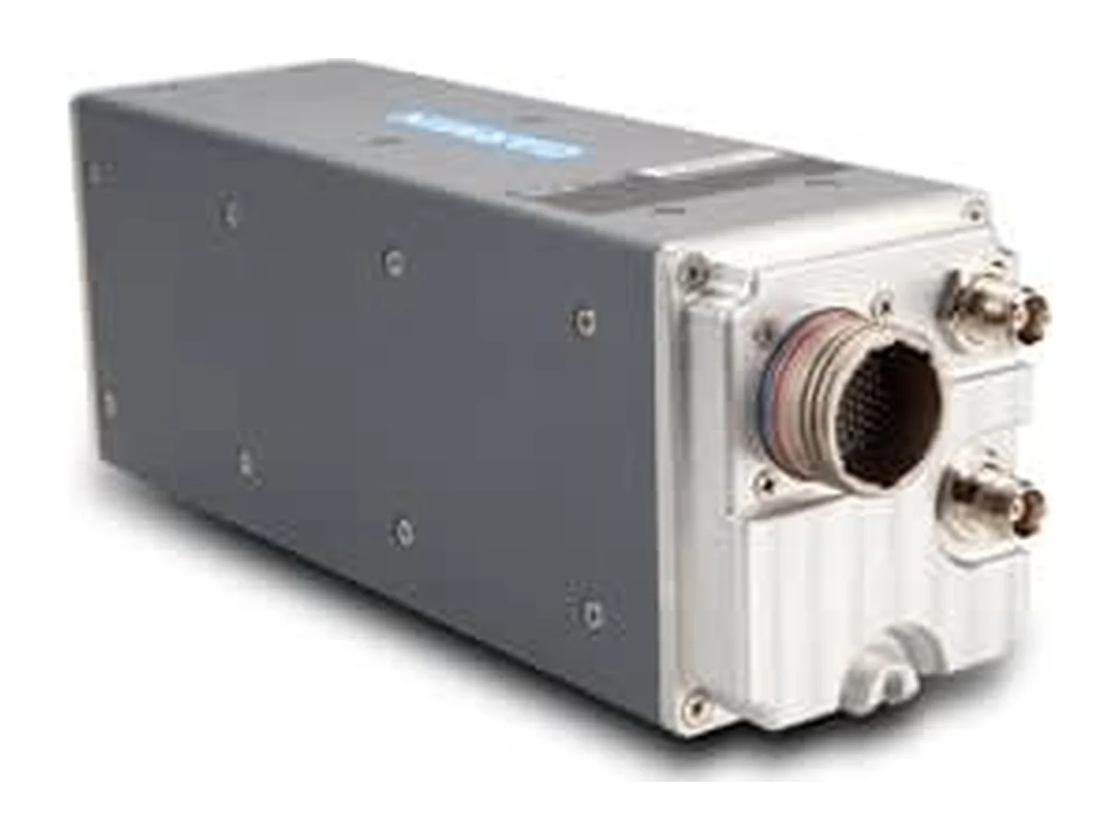
The Garmin GRA 5500 is a digital radar altimeter for aircraft, a remote-mounted line replaceable unit (LRU) that measures height above ground level with a transmit and a receive antenna. It supplies radar altitude to compatible Garmin flight displays and flight decks and belongs to the altitude and distance sensor class used for landing, low-level flight and terrain awareness.
The unit is built for certified aircraft, with helicopters, business jets, transport category aircraft and general aviation named by Garmin as target platforms. Its processing filters the radar returns, smooths altitude tracking and cross-checks data and system integrity, and the maker states that it is designed to work over terrain from rough ground and tree canopy to sand and choppy water. Built-in self-test checks the transmit and receive circuitry at power-up and then every minute during normal operation, so the pilot normally has no controls to operate.
The measurement figures are the ones an integrator needs for approach and hover logic. The altitude range is -20 ft to 2550 ft AGL, with accuracy of +/-1.5 ft from 3 ft to 100 ft AGL and +/-2 % from above 100 ft to 2500 ft AGL. The altitude output time constant is 0.1 second maximum. The transmitter is a gated FMCW design at 4.25 GHz to 4.35 GHz with 1.0 W nominal output. Operating limits include horizontal velocity of 0 to 200 knots, vertical velocity of 20 ft/sec maximum up to 100 ft AGL and 25 ft/sec maximum above 100 ft AGL, and pitch and roll angles of +/-20 degrees maximum within the published accuracy limits. Beyond 2550 ft AGL, in excessive pitch or roll, or with poor ground reflection, the unit reports no computed data.
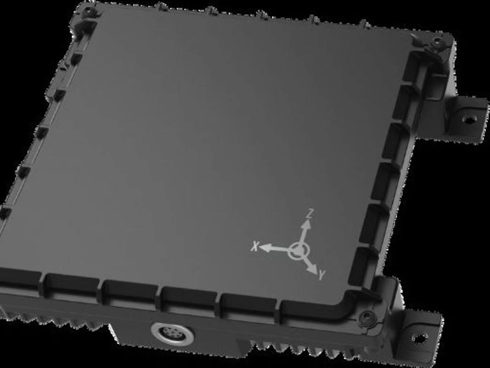
Physically, the unit with its mounting rack is 3.99 in (101.3 mm) high, 3.02 in (76.7 mm) wide and 11.62 in (295.2 mm) deep, and weighs 3.5 lbs (1.6 kg). The operating temperature range is -55 degrees C to +85 degrees C. Power is supplied at 14/28 VDC, with a maximum consumption of 13.75 W (0.5 A at 27.5 VDC, 1.0 A at 13.75 VDC).
Integration uses ARINC 429 to the display. Compatible Garmin displays via ARINC 429 include the G600, G500 and G500H, and the unit works with the G5000, G5000H, G3000, G2000, G1000 and G1000H flight decks, subject to software versions that support radar altimeter display. Configuration, calibration, diagnostics and software loading are done from a computer over a USB connection. In the Bell 206 retrofit documentation, two antennas are installed under the tailboom at least 20 in apart on centre, the LRU sits on a supplied rack bonded to the avionics shelf, and a 5 A circuit breaker supplies power.
For compliance, Garmin lists software to RTCA/DO-178B Level B and environmental qualification to RTCA/DO-160F. Garmin states that the unit satisfies radar altimeter requirements for Class A TAWS and CAT II ILS operations, and can supply the 50 ft callout with compatible navigators.
Typical applications are radar altitude display and alerting in helicopters and fixed-wing aircraft, TAWS and TCAS II installations, and night-vision-compatible cockpit installations.
Specifications
Specifications · GRA 5500 altitude or distance sensor
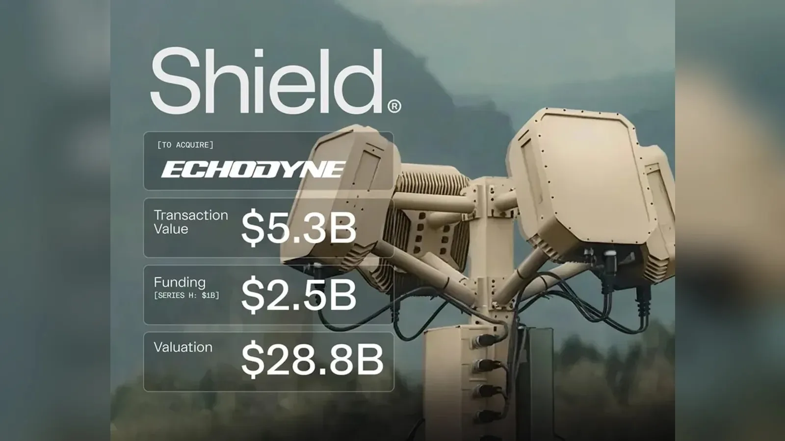
Shield agrees to buy Echodyne, the Kirkland-based radar maker, in a deal valued at $5.3 billion. The purchase brings software-defined MESA radars, used in counter-UAS systems and for UAS detect-and-avoid, into Shield's Mission Systems…
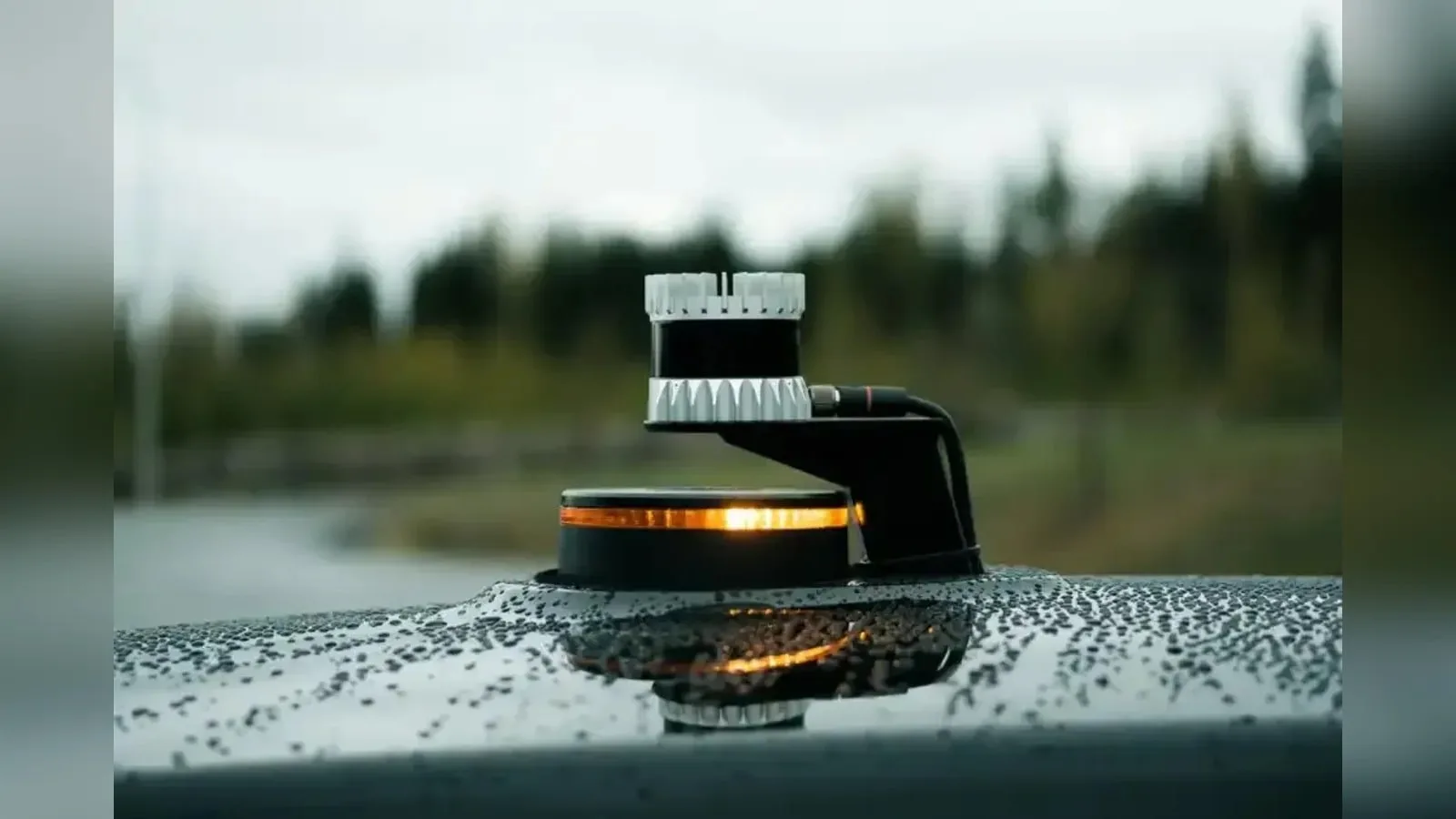
Ouster releases Firmware 3.2 for its lidar sensors, adding on-sensor 3D zone monitoring, optical window blockage detection and time-synchronized IMU data. The update shifts occupancy logic and motion compensation from the host computer to…
Shield has agreed to buy Echodyne, the Washington-based maker of MESA radars for counter-UAS and airspace sensing, for $5.3bn. Echodyne's radars stay available as standalone products, and the deal adds production capacity for the sensor…










 FeaturedGNSS receivers
 FeaturedGNSS receivers
 FeaturedADS-B transponders
 FeaturedADS-B transponders
 FeaturedAltimeters
 FeaturedAltimeters
 FeaturedAltimeters
 Featured