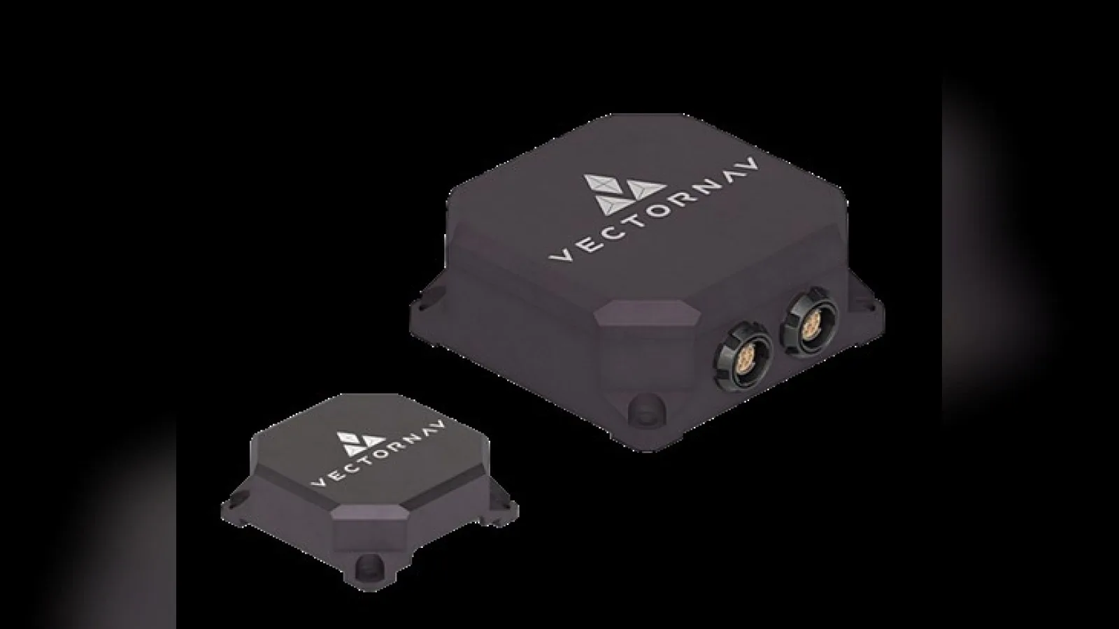
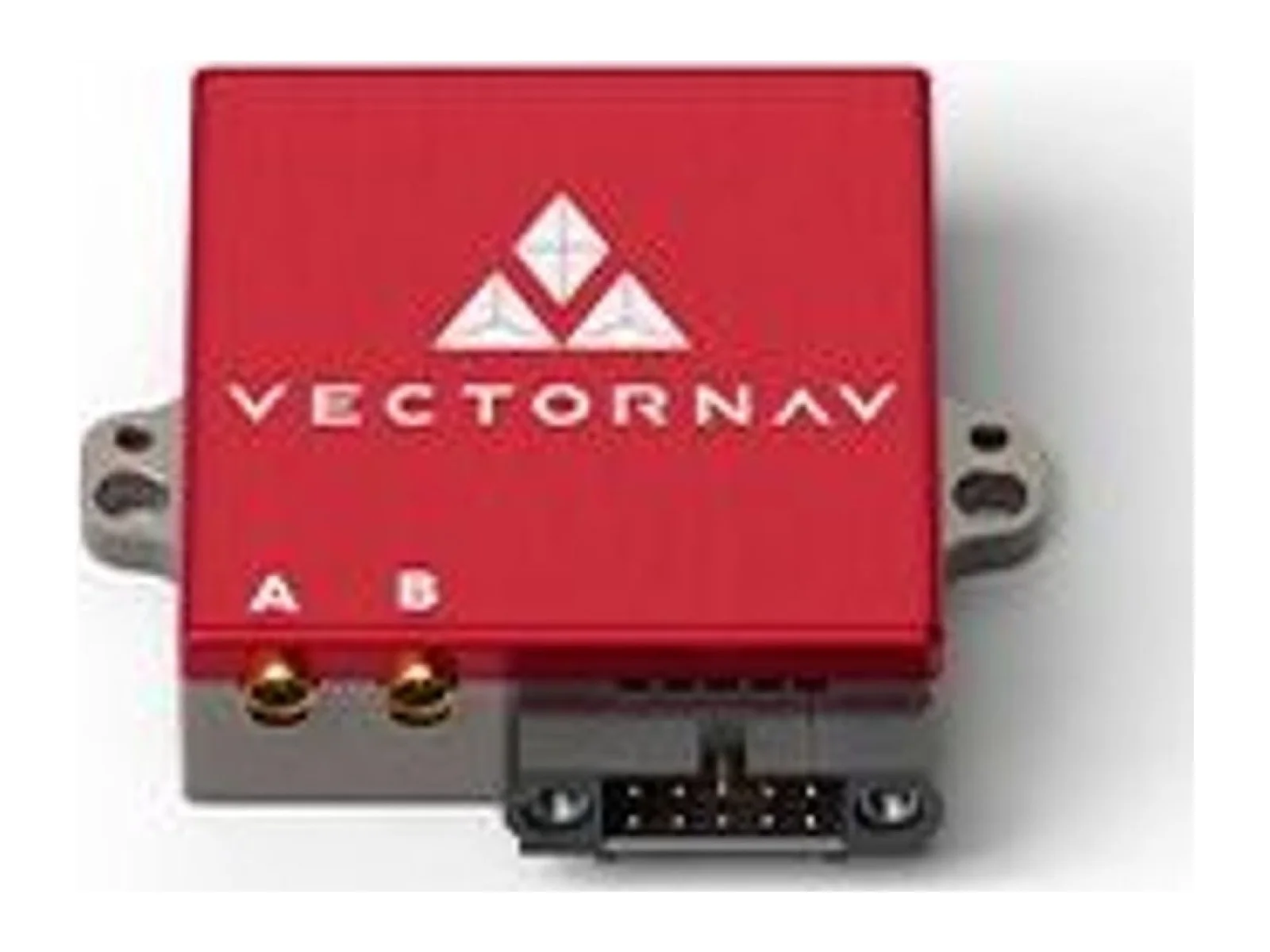
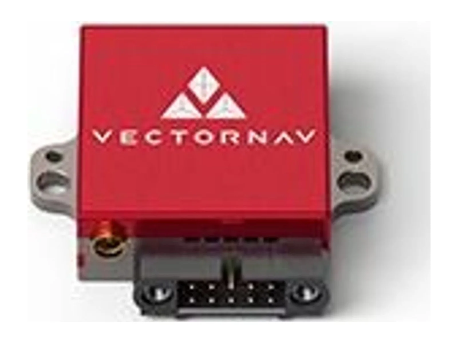
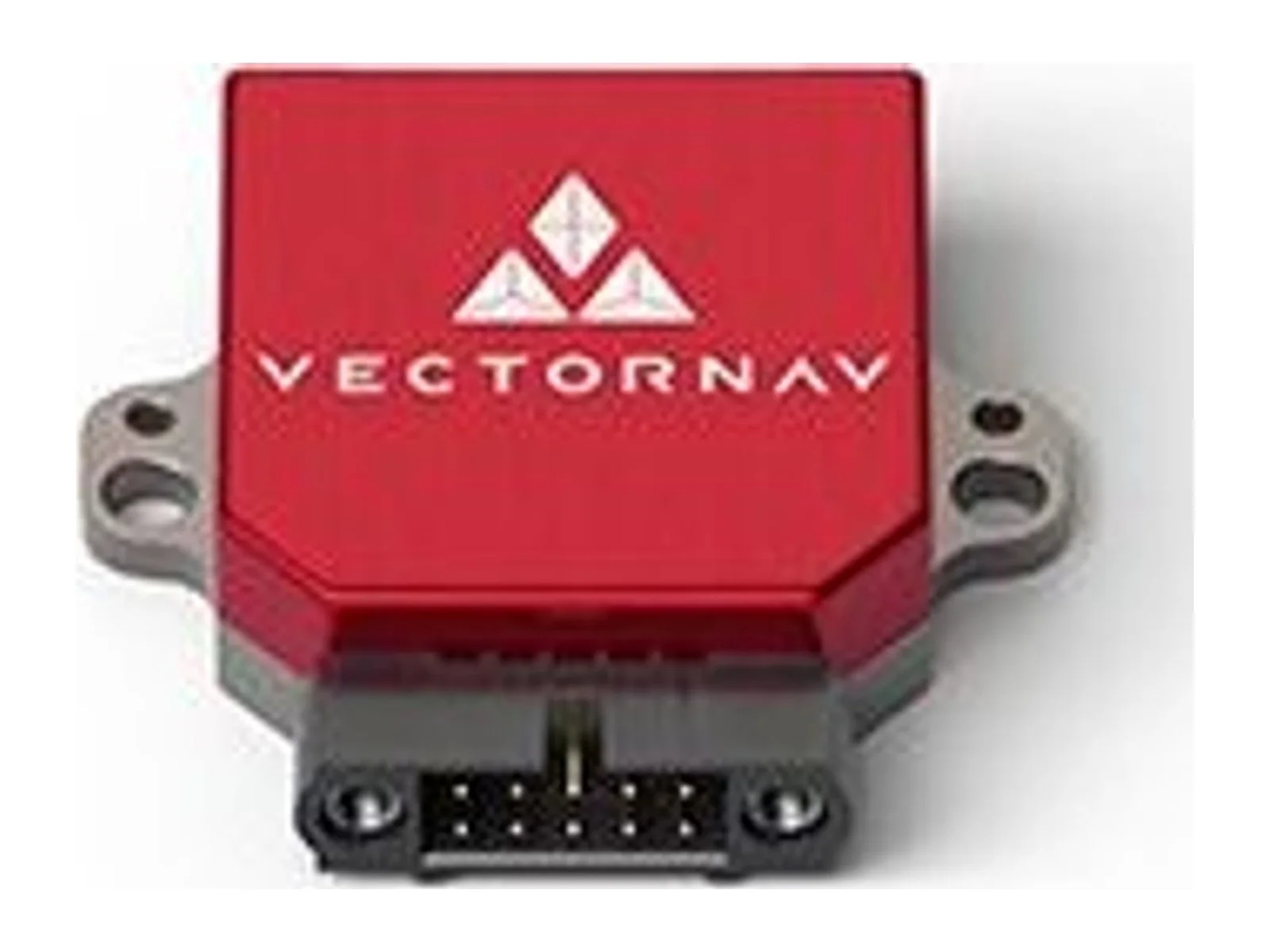
VN-300 Rugged is a dual-antenna GNSS inertial navigation sensor that combines satellite and inertial measurements for navigation. It supplies navigation and heading information to host equipment, with the rugged unit and GNSS antennas integrated into the vehicle installation.
The VN-300 Rugged is a dual-antenna GNSS-aided inertial navigation sensor from VectorNav. It is a dual GNSS/INS that combines MEMS inertial sensors, two GNSS receivers and Kalman filtering to estimate position, velocity and attitude, and it is the enclosed, plug-and-play version of the VN-300 surface-mount module. It is aimed at unmanned aircraft, vehicles and other platforms that need an IMU with integrated navigation and heading.
The two onboard GNSS receivers form a GNSS compass, which gives heading without relying on vehicle motion or on magnetic sensors. The sensor changes automatically between magnetic heading, inertial heading in dynamic conditions and GNSS-compass heading when static. Heading accuracy is given as 0.2 degrees (1 sigma) for the inertial solution with sufficient motion, and 0.15 to 0.3 degrees RMS for the GNSS compass on a 1.0 m antenna baseline. A longer 2.0 m baseline gives 0.08 to 0.15 degrees RMS. Pitch and roll accuracy is 0.03 degrees (1 sigma) in dynamic operation. Horizontal position accuracy is 1.0 m RMS and vertical position accuracy 1.5 m RMS, depending on SBAS, a clear view of the sky and the multipath environment.
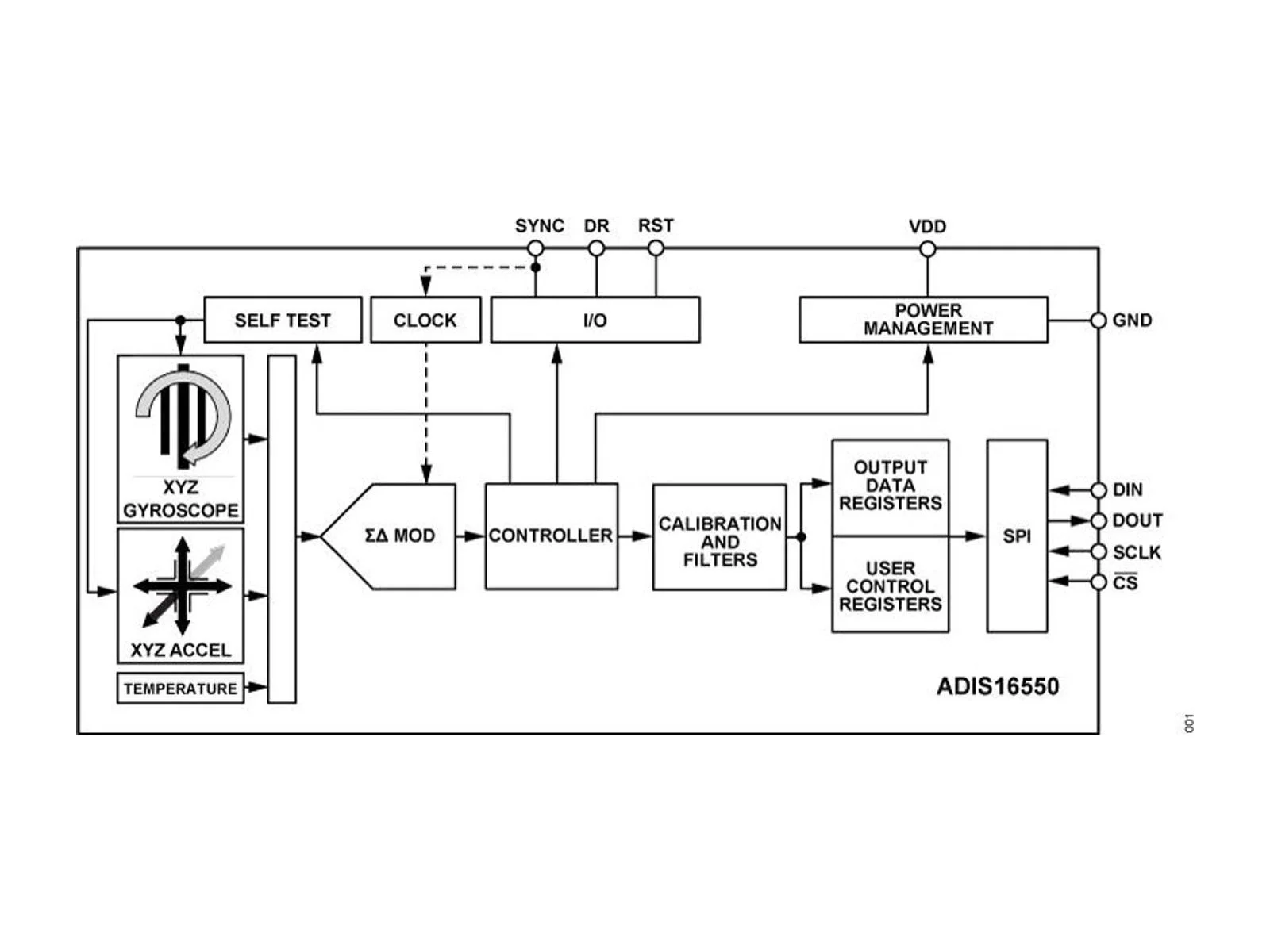
The inertial sensors have a gyroscope range of 2,000 degrees per second with an in-run bias stability below 10 degrees per hour (typically 5 degrees per hour), and an accelerometer range of 16 g with an in-run bias stability below 0.04 mg. In use, bias stability sets how well the filter holds the attitude and position estimates when GNSS is degraded. Position, velocity and attitude data are output at up to 400 Hz. The receiver supports GPS, GLONASS, Galileo, BeiDou, QZSS and SBAS, with GPS, Galileo and SBAS used in the default configuration.
Integration is simple. The Rugged version measures 45 x 44 x 11 mm and has a mass of 30 g in a clamshell anodised aluminium enclosure. It accepts a supply of 3.3 to 14 V, draws about 150 mA at 5 V and 1.25 W in total, not counting an active antenna, and offers RS-232 and serial TTL interfaces. Sync-in and sync-out signals and a GNSS PPS output allow timing with other sensors. Output messages are available in ASCII, NMEA-0183 and VectorNav binary formats, and the sensor shares a communication protocol with the rest of the VectorNav product line. The VectorNav Control Center software is used for setup, configuration and logging. The operating temperature range is -40 C to +85 C, and the maker states an MTBF of more than 125,000 hours for the Rugged unit.
The sensor is ITAR-free, made in the USA and calibrated individually for bias, scale factor, misalignment and temperature over its full operating range at the maker's AS9100 certified manufacturing facility. Typical applications are navigation and heading for unmanned aircraft and vehicles, antenna and payload pointing, surveying and mapping, and any platform where a magnetic compass is unreliable.
VectorNav Technologies releases a development kit that brings Iridium positioning data into its VN-210E inertial navigation system, built with NAL Technologies. The company says the extra input keeps navigation going where GNSS is…
VectorNav Technologies raises the measurement limits of its Tactical Series IMUs and inertial navigation systems to 95 g and 250 g for accelerometers and 4,000 °/s for gyroscopes. Programs for interceptors, missiles and hypersonic…
Shield agrees to buy Echodyne, the Kirkland-based radar maker, in a deal valued at $5.3 billion. The purchase brings software-defined MESA radars, used in counter-UAS systems and for UAS detect-and-avoid, into Shield's Mission Systems…










 FeaturedIMUs
 FeaturedIMUs
 FeaturedIMUs
 FeaturedIMUs
 FeaturedIMUs
 FeaturedIMUs