MetaSAR is a radar sensing product that uses radio-frequency returns to support imaging or surveillance. It forms part of a sensing installation, providing radar information to the processing and mission equipment integrated with the host platform.
MetaSAR is a family of compact airborne synthetic aperture radar (SAR) payloads from MetaSensing, a multi-channel, multi-frequency radar sensor for small aircraft and UAVs. The family is offered in P, L, C and X bands, and the maker states that the sensor can be configured for a wide range of frequencies from P-band up to Ka-band.
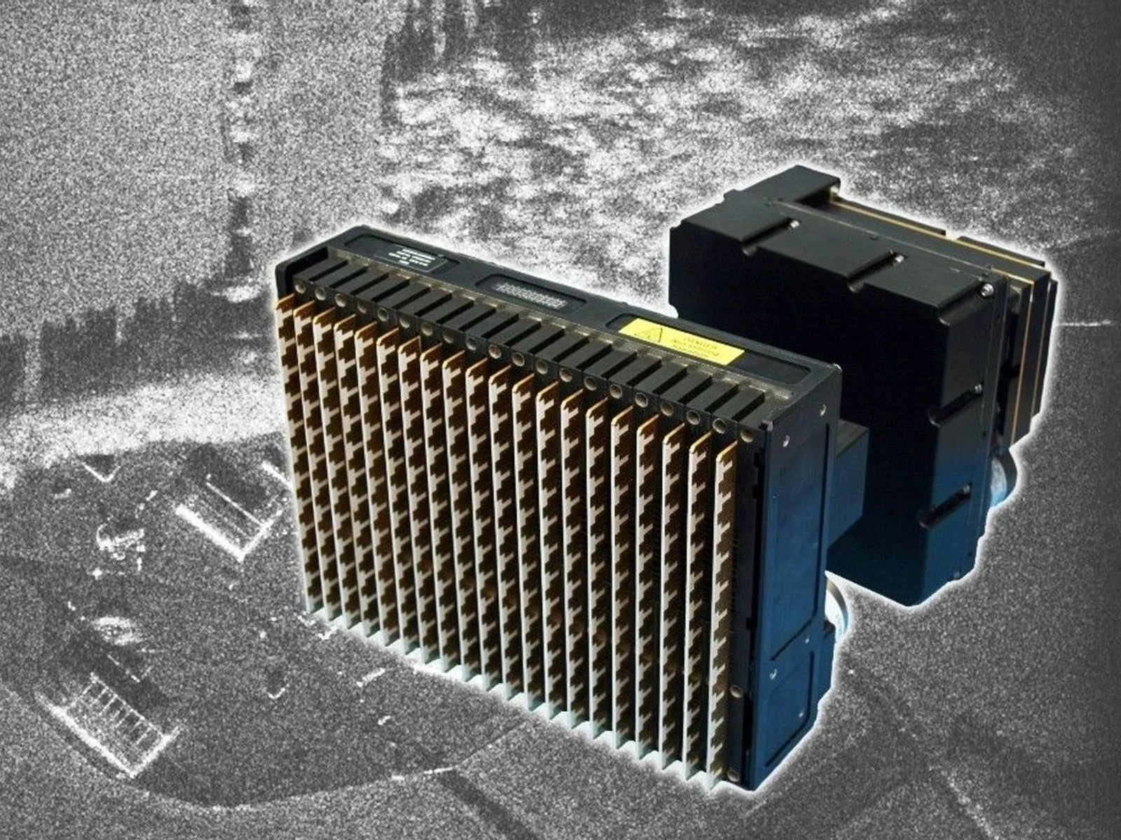
The radar is built for remote sensing from the air. MetaSensing describes it as a compact unit with low power consumption, which makes it suitable for small aircraft and unmanned aerial vehicles. The payload is made up of a radar electronics unit, a pair of dual-polarimetric flat-panel antennas and mounting fixtures made for each aircraft, and the swath size and resolution can be adapted to the mission. All bands are described as working in all weather and in day and night conditions, which is the main reason to choose radar over optical sensors for mapping and monitoring.
Each band suits different targets. The P-band version uses VHF/UHF and long wavelengths to penetrate forest canopy, supporting terrain models under dense vegetation, biomass mapping, pipeline monitoring and foliage and sand penetration. The L-band version penetrates vegetation and soil and is used for vegetation and biomass, soil moisture, glacier and permafrost analysis and leak detection. The C-band version offers up to 0.5 m ground resolution and dual-linear polarisation (HH/VV) for vegetation, ocean monitoring, agriculture, subsidence and glaciers. The X-band version has dual-polarimetric antennas and supports Stripmap, Spotlight and Wide Swath modes, with fully polarimetric capability for land cover classification, target recognition and coherent change detection.
The maker lists several acquisition and processing techniques: interferometry across and along the flight track, in one pass or repeated passes, and full polarimetry. In X-band, single-pass interferometry in both directions supports terrain mapping and moving-target detection.
For integration, the radar records SAR data synchronised with navigation data from a GNSS/INS system. Data are processed with MetaSAR-PRO, the maker's SAR processing software, which produces georeferenced GeoTIFF imagery that can be loaded into standard GIS software. The P-band unit uses a portable enclosure that can be adapted to various aircraft.
Typical applications are digital surface and terrain model generation, land cover and vegetation analysis, infrastructure and corridor monitoring, coastal and maritime surveillance, agriculture, disaster response, ground-movement monitoring and change detection.
Specifications
Specifications · MetaSAR radar sensing product
General
Grade
Professional
Market
Civil
Platform class
Small UAS (<25 kg), Large UAS (25–150 kg), Heavy UAS (>150 kg), Manned aircraft
Ouster's REV7 lidar family, built on the L3 digital chip, spans the OS0, OS1 and OS2 plus the new 180° hemispherical OSDome. Ouster claims higher range and finer precision with no change in sensor size or weight.
Gremsy has signed a memorandum of understanding with South Korean UAV manufacturer NINANO to explore integrating Gremsy's EO/IR camera payloads into NINANO's unmanned platforms. The agreement sets a framework for technical collaboration…
SimActive launches an integrated workflow that brings Phase One aerial imagery into its Correlator3D photogrammetry software for large-scale defense mapping. The link targets the processing stage, where users who collect tens of thousands…










 FeaturedSAR radars
 Featured
 Featured