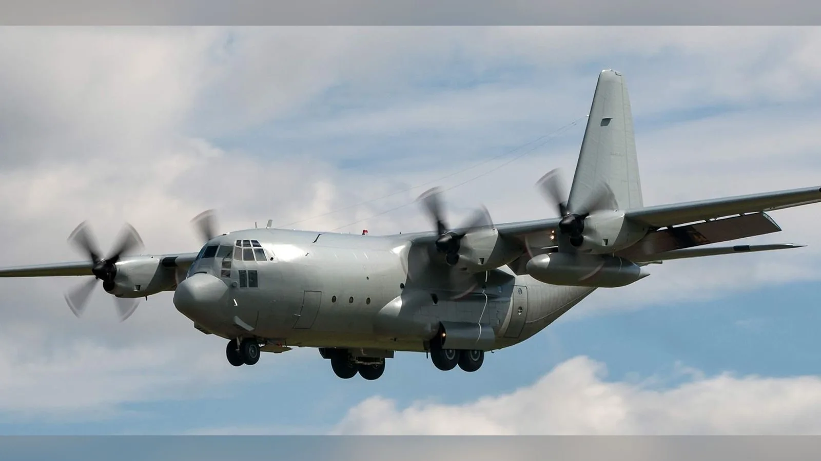
Vision Aided Navigation (VAN) is a navigation system that uses environmental observations to support vehicle positioning. It provides navigation information for an integrated autonomy system, complementing the aircraft guidance and control functions.
Vision Aided Navigation (VAN) is a visual navigation system from Honeywell Aerospace that gives an aircraft an absolute position fix without GNSS. It belongs to Honeywell's alternative navigation family and works by image correlation: a live camera feed, optical or infrared, is compared with reference maps carried on board, and the match produces the position of the vehicle. It is meant for GNSS-denied and GNSS-disrupted operation of large unmanned aircraft, military aircraft and other platforms that need a backup to satellite navigation.
Because the position comes from matching the scene to a map, the error does not grow with time as it does in an inertial system running alone. Honeywell describes the result as a true absolute position fix that does not drift, and it reports a demonstrated horizontal position accuracy below 10 m CEP50 during GPS-denied conditions, shown on an Embraer E170 test aircraft. For an integrator this means VAN is used to bound inertial drift during a long GNSS outage, not to replace the inertial navigation system.
The method is passive, so it emits no signal that can be jammed, spoofed or detected. It is sensor agnostic, with cross-modal correlation, which allows visible and infrared sensors to be used and permits day and night operation. It is also stated to be robust to changes in lighting and season and to map staleness, and it has low map storage requirements, so a large area can be stored without building a mission-specific database for each flight. The prior map is a requirement of the method.
For integration, the hardware demonstration unit measures 14 x 21 x 25 cm, weighs 13 lb, and draws up to 34 W from a 28 V DC input, with an operating temperature range of -40 to 70 degrees C. Inputs are 28 V DC and an altitude measurement from a pressure or radar altimeter, and the interfaces are Ethernet and MIL-STD-1553. The vibration reference is the random B curve of DO-160E section 8. VAN is compatible with the Honeywell Compact Inertial Navigation System and other inertial platforms, and it is designed to be integrated into Honeywell's Alternative Navigation Architecture, the software layer that combines vision with magnetic, celestial and inertial inputs. It is offered as a software-only solution as well as with hardware options.
Honeywell lists the target applications as GPS-denied or disrupted operations, backup navigation for various aircraft and munitions guidance. Within its layered navigation strategy VAN sits alongside magnetic anomaly aided navigation and celestial navigation, for platforms that must keep navigating where satellite signals are unavailable.
Specifications
Specifications · Vision Aided Navigation (VAN) navigation system
General
Grade
Aerospace-grade
Market
Dual-use
Platform class
Large UAS (25–150 kg), Heavy UAS (>150 kg), Manned aircraft
Honeywell Aerospace detailed on May 5, 2022 a test of a Primary, Alternate, Contingency and Emergency (PACE) satcom scheme on its Boeing 757-200 flying testbed, which switched between commercial and military satellite networks in flight…
Honeywell Aerospace presents results from demonstrations of celestial-, vision- and magnetic-aided navigation that support inertial systems when GNSS signals are lost. Its star-tracker based system matches GNSS-INS performance under…
Honeywell Aerospace tests a 1 MW generator in a Mexicali test cell, and Flying Whales will integrate it into the hybrid-electric powertrain of its LCA60T airship. The unit reaches 1 MW steady state at 97% efficiency, giving…











 FeaturedVisual navigation
 FeaturedFuel cells
 Featured
 FeaturedVisual navigation