Honeywell Alternative Navigation Architecture combines multiple navigation inputs in a software framework for operation when GNSS is unavailable. Vision, magnetic, satellite and terrain-aiding modules can be integrated with onboard sensors and computing hardware.
The Honeywell Alternative Navigation Architecture, known as HANA, is a software framework from Honeywell Aerospace for visual navigation and other alternative positioning, navigation and timing when GNSS signals are jammed, spoofed or unavailable.
HANA works as an integration layer rather than a single sensor. It combines several navigation modalities in a layered architecture and delivers position, velocity and orientation to the host platform. The software uses the sensors and computers already on the aircraft, so an integrator adds it to an aircraft that already has an inertial system and processing hardware instead of fitting a dedicated box. It supports the ASPN data standard and other messaging protocols for exchanging data with other navigation components.
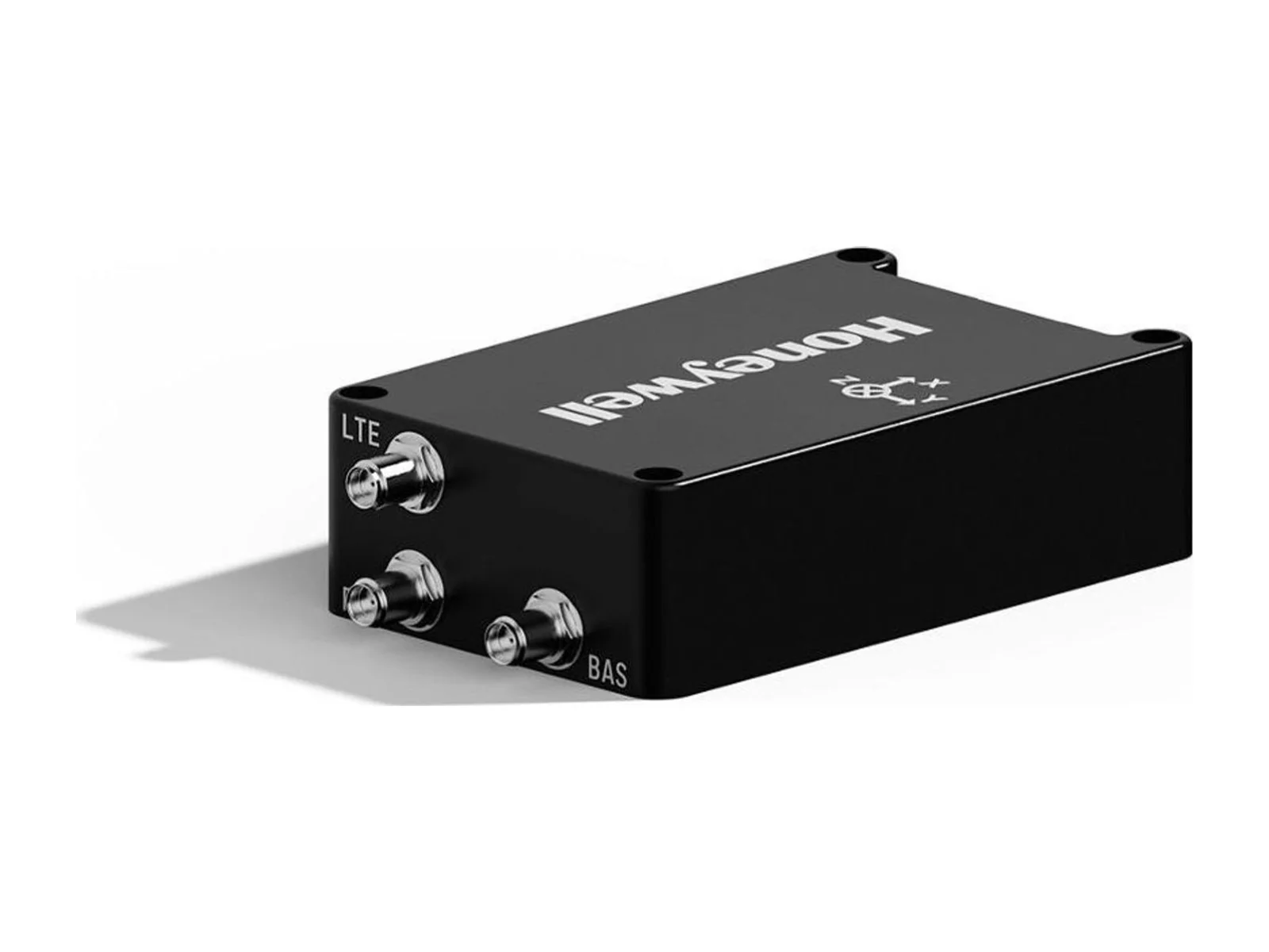
The modalities that can be integrated include vision-aided navigation, magnetic anomaly-aided navigation, low Earth orbit satellite navigation, radar terrain-aided navigation and third-party applications. Vision-aided navigation takes live video from onboard cameras and correlates it with stored map data. It gives an absolute position that does not drift, works with visible and infrared sensors, and is passive, so it cannot be jammed or spoofed. Magnetic anomaly-aided navigation compares measurements of the local variations in the Earth's magnetic field with geo-referenced anomaly maps. It works in any weather and over land or water, and the related Honeywell magnetic unit is specified for a +12 V supply and an operating temperature of -35 °C to +50 °C. The layers can be mixed to suit the mission, and no single modality replaces GNSS on its own.
For integration, the vision-aided module can be paired with Honeywell's compact inertial navigation system and other inertial platforms, so the inertial solution bridges the gaps between visual or magnetic fixes. The software-only form is accompanied by hardware options from the maker. Camera type, map storage and sensor choice depend on the platform, and the architecture is sensor-agnostic in the vision case.
The context for HANA is operations in contested airspace, where interference with satellite navigation forces crewed and uncrewed aircraft to continue without GNSS data. A published figure from the maker's page quotes more than 700 jamming and spoofing incidents per day, reported by Zurich University of Applied Sciences.
Typical applications are GNSS-denied navigation for military aircraft and uncrewed aerial vehicles, resilient positioning for long-range and fixed-wing platforms, and backup navigation for defense and aerospace missions that cannot depend on satellite signals.
Specifications
Specifications · Honeywell Alternative Navigation Architecture software framework
General
Grade
Aerospace-grade
Market
Defense
Platform class
Large UAS (25–150 kg), Heavy UAS (>150 kg), Manned aircraft, eVTOL
Honeywell Aerospace detailed on May 5, 2022 a test of a Primary, Alternate, Contingency and Emergency (PACE) satcom scheme on its Boeing 757-200 flying testbed, which switched between commercial and military satellite networks in flight…
Honeywell Aerospace presents results from demonstrations of celestial-, vision- and magnetic-aided navigation that support inertial systems when GNSS signals are lost. Its star-tracker based system matches GNSS-INS performance under…
Honeywell Aerospace tests a 1 MW generator in a Mexicali test cell, and Flying Whales will integrate it into the hybrid-electric powertrain of its LCA60T airship. The unit reaches 1 MW steady state at 97% efficiency, giving…











 FeaturedVisual navigation
 FeaturedFuel cells
 Featured
 FeaturedIMUs
 FeaturedVisual navigation