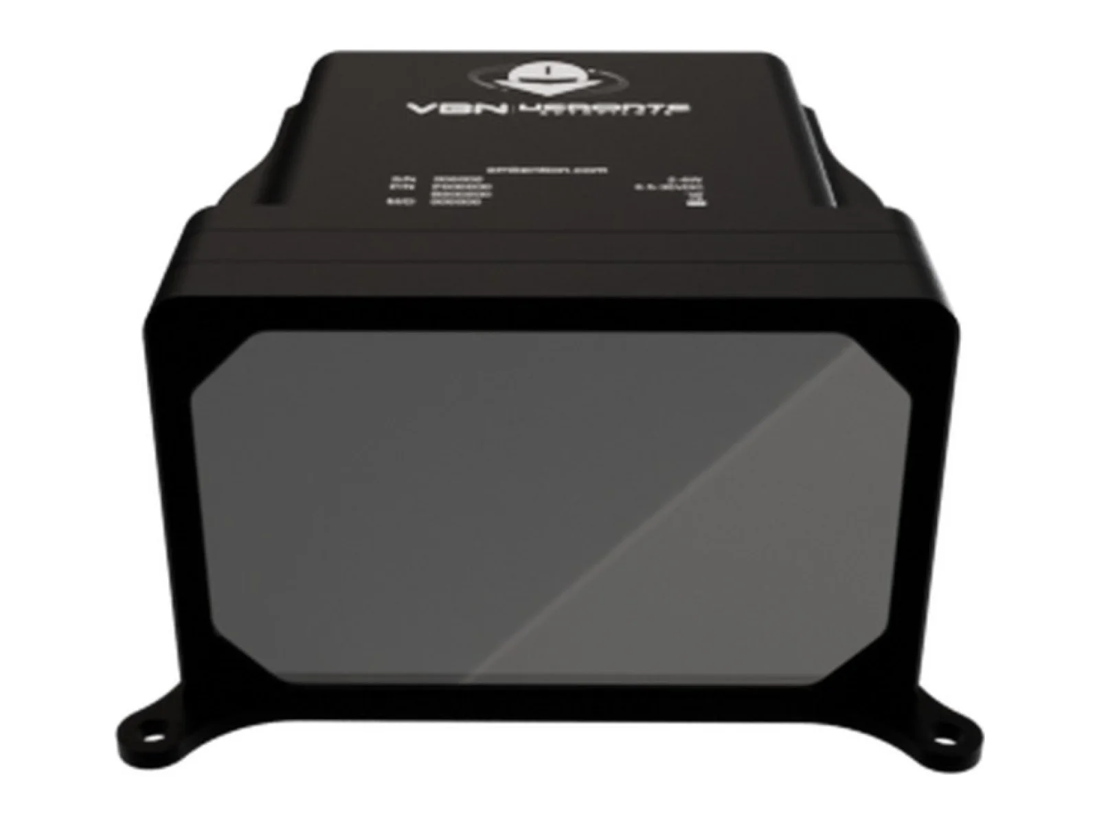
Veronte VBN combines an electro-optical camera, inertial sensing and onboard visual navigation. It supplies position, attitude and velocity estimates to an autopilot, supporting operation without GNSS through visual odometry, mapping and place recognition.
The Veronte VBN from Embention is a visual navigation system for uncrewed aircraft: an onboard unit that pairs an electro-optical camera with inertial sensing and runs visual-inertial odometry to estimate where the aircraft is. It is a GNSS-denied navigation sensor that feeds an autopilot with position, attitude and velocity estimates when satellite positioning is jammed, spoofed or unavailable.
The navigation method is visual-inertial odometry (VIO). The camera tracks features in the scene from frame to frame, and the inertial measurements bridge the gaps between images and give scale and attitude. Mapping and place-recognition functions let the system relate what it sees to what it has already seen, which limits the drift that pure odometry accumulates over a long flight. A prior map is not required, so the system can be used over terrain that has not been surveyed or loaded beforehand.
The key figures define the operating envelope. The camera is an EO type with 1.6 MP, a 1440 x 1080 image and 30 FPS, so the update rate of the visual measurements is tied to that frame rate. Sensitivity is stated as 0.01 lux, which sets how low the scene illumination can fall before image quality limits tracking. Maximum ground speed is 50 m/s, which sets how fast the aircraft can move while the scene still changes slowly enough between frames for tracking, and the altitude range is 5000 m, which matters because image features change in apparent size and motion with height above the ground.
On the integration side the unit exposes CAN, CAN FD, RS-232, RS-485 and discrete I/O. It belongs to the Veronte ecosystem of Embention autopilots, so the natural pairing is a Veronte autopilot that takes the visual position and attitude as an alternative navigation source, although the serial and CAN buses allow other flight controllers or mission computers to read the same data. The integrator should plan the camera view so that it looks at the ground or surrounding scene with a clear field of view and little obstruction from the airframe.
Typical applications are navigation of fixed-wing and rotary-wing uncrewed aircraft and eVTOL platforms in areas with GNSS interference, long-range flights where positioning must continue after signal loss, and operations that need a backup position source independent of satellite signals.
Specifications
Specifications · Veronte VBN visual navigation system
General
Grade
Professional
Market
Dual-use
Platform class
Small UAS (<25 kg), Large UAS (25–150 kg), Heavy UAS (>150 kg), eVTOL
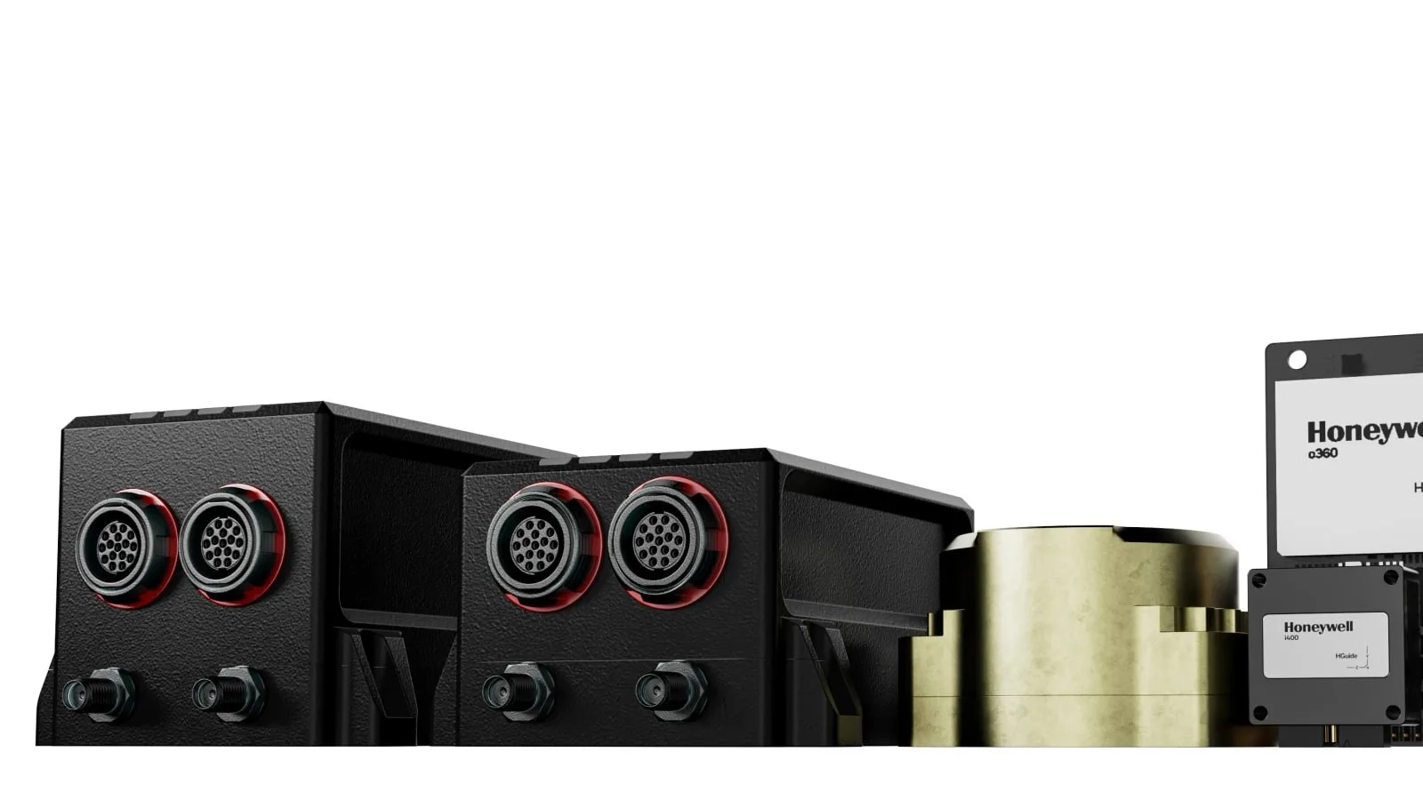
Honeywell Aerospace presents results from demonstrations of celestial-, vision- and magnetic-aided navigation that support inertial systems when GNSS signals are lost. Its star-tracker based system matches GNSS-INS performance under…
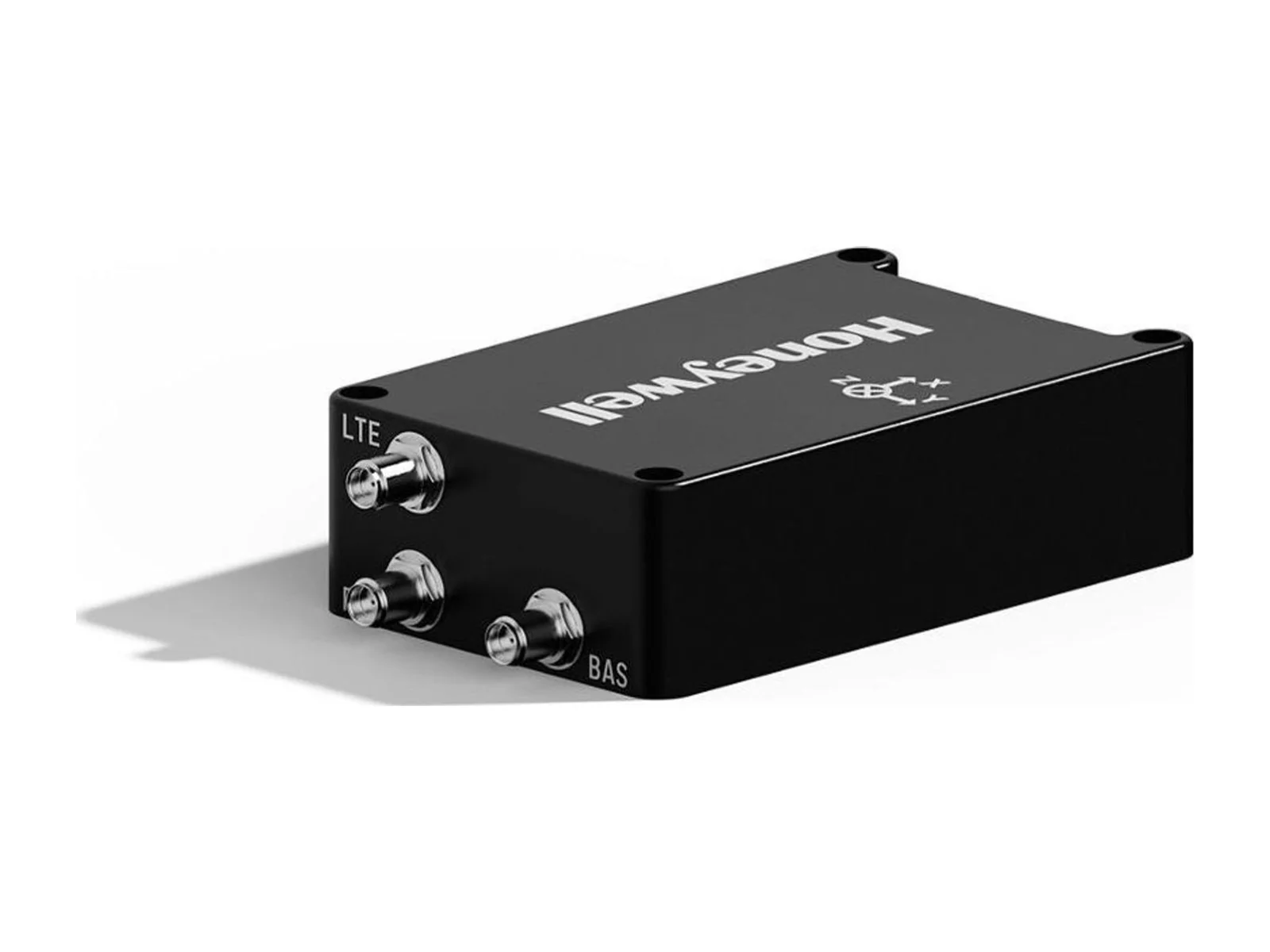
Honeywell Aerospace offers the HGuide o480, a 26-gram INS/GNSS navigator for attritable military platforms and industrial uses. The unit pairs an IMU and a GNSS receiver with AIM+ anti-jamming, and it is available globally without export…
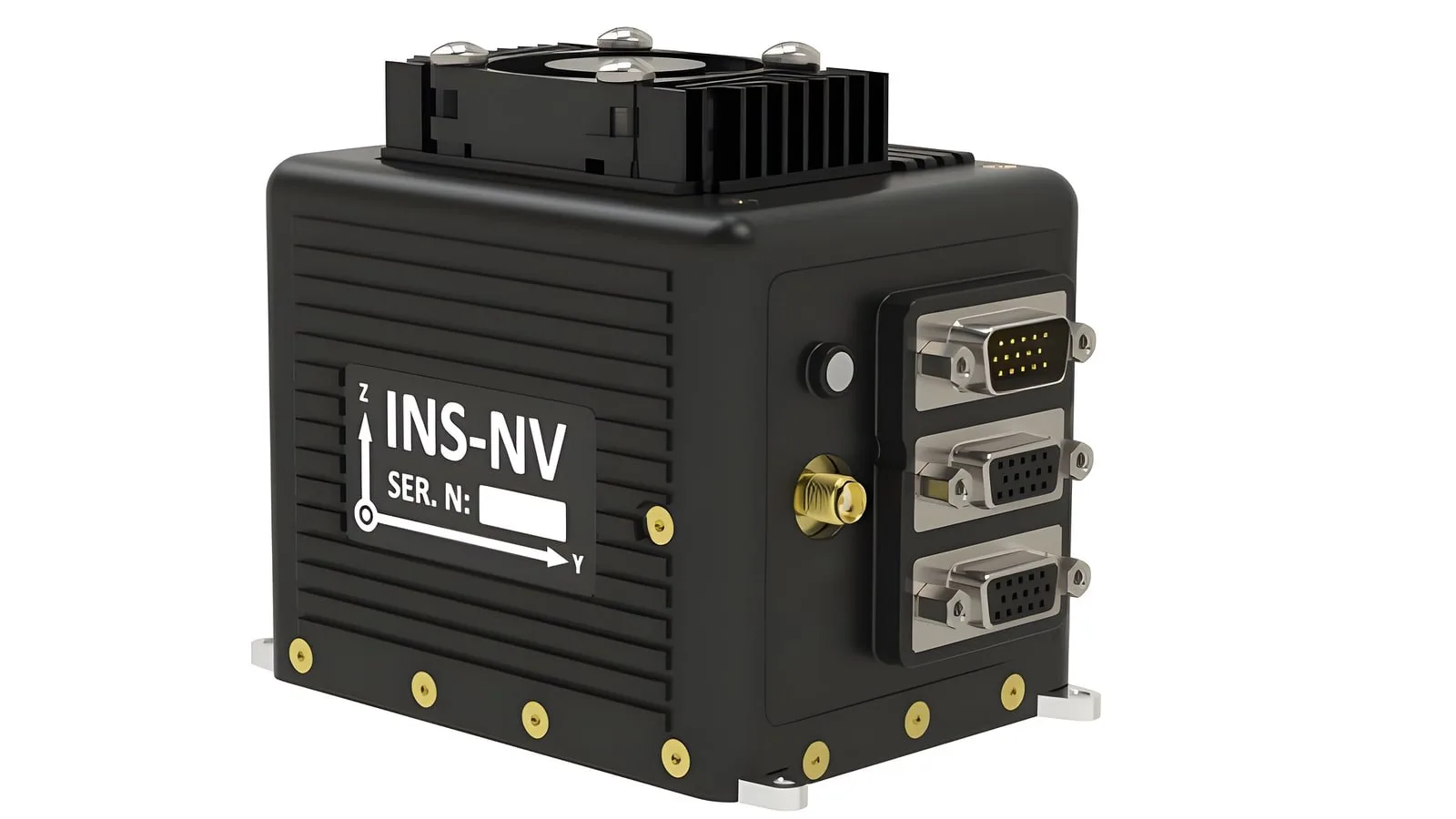
The INS-NV is a new programmable platform from Inertial Labs, which belongs to VIAVI, and it pairs an NVIDIA Jetson Orin NX module with an inertial navigation system and an AHRS. Developers of alternative PNT and visual navigation systems…











 Featured
 Featured
 Featured
 Featured
 FeaturedVisual navigation