SkyLine is a traffic-detection or avoidance system that supports monitoring of potential conflicts in the operating area. It contributes detection or tracking information to an integrated situational-awareness architecture for unmanned-aircraft operations.
SkyLine from uAvionix is a cloud-based command and control (C2) network for unmanned aircraft flying beyond visual line of sight. Rather than a single sensor, it is a network layer that monitors the radios of an entire fleet and the ground stations they connect to, and passes C2 messages to the correct aircraft. It sits in the traffic-awareness and operations stack of BVLOS programmes and is listed with collision-avoidance products because the system also offers detect-and-avoid functions.
The network supports roaming between multiple ground radio stations. Handover is make-before-break, so the aircraft link to the next station is established before the previous one is released, and the system balances load across links using the real-time health of each datalink. Link and path diversity through several radios and frequency bands reduce the risk of a lost link. The supported spectrum includes LTE, ISM and protected C-band.
Hardware and software are designed to DAL C (Design Assurance Level C), and the system is built to meet RTCA DO-362A minimum operational performance standards for C2 data link. In the uAvionix product family the network runs on the microLink airborne radio and the skyStation2 ground station, a weatherproof IP67 networkable ground radio, operating in the unlicensed ISM band of 902 to 928 MHz.
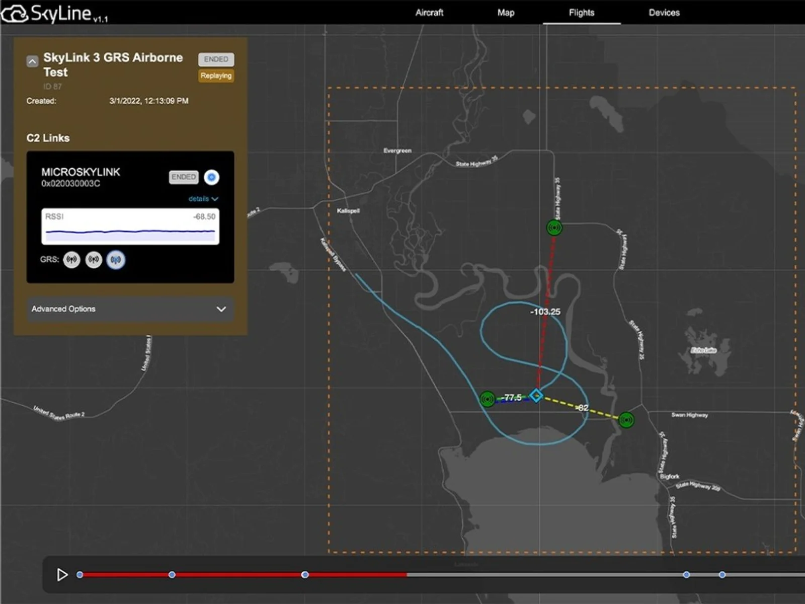
Operation is managed from the SkyLine interface. The operator creates a flight, selects the ground and air radios, sets the operational boundaries and starts the flight from the control interface. Radios are registered in the interface and installed according to the SkyLine installation manual. Data retention includes mission playback, with flight path and radio integrity metrics, and fleet management and network health monitoring are integrated.
Typical uses are BVLOS delivery, inspection, survey and public-safety operations in which an operator manages several unmanned aircraft over a wide area and needs a managed, redundant C2 link with recorded link quality.
Specifications
Specifications · SkyLine traffic-detection or avoidance system
General
Grade
Professional
Market
Dual-use
Platform class
Small UAS (<25 kg), Large UAS (25–150 kg), Heavy UAS (>150 kg), eVTOL
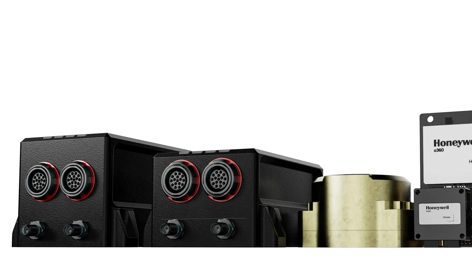
Honeywell Aerospace presents results from demonstrations of celestial-, vision- and magnetic-aided navigation that support inertial systems when GNSS signals are lost. Its star-tracker based system matches GNSS-INS performance under…
Honeywell Aerospace offers the HGuide o480, a 26-gram INS/GNSS navigator for attritable military platforms and industrial uses. The unit pairs an IMU and a GNSS receiver with AIM+ anti-jamming, and it is available globally without export…
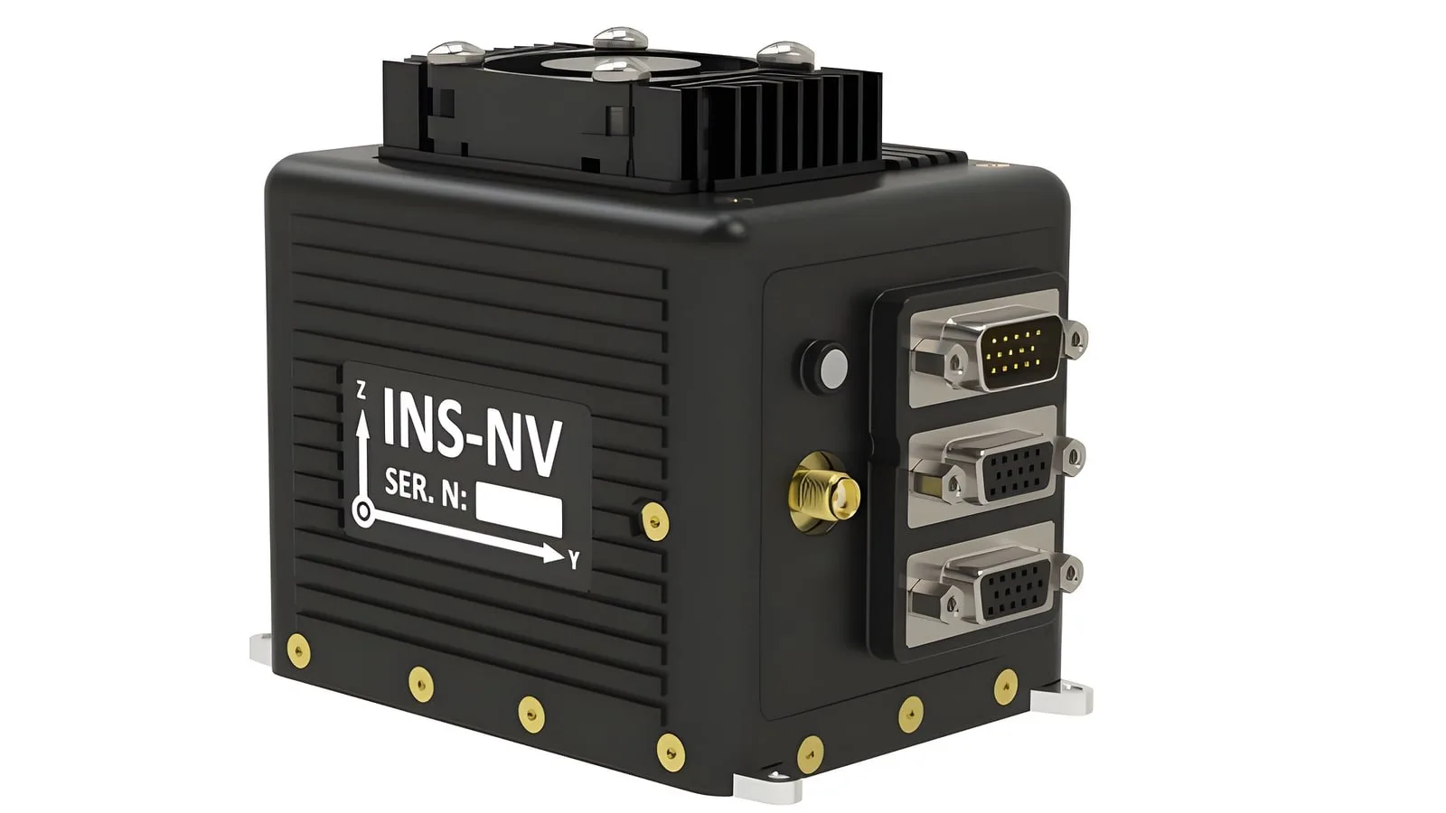
The INS-NV is a new programmable platform from Inertial Labs, which belongs to VIAVI, and it pairs an NVIDIA Jetson Orin NX module with an inertial navigation system and an AHRS. Developers of alternative PNT and visual navigation systems…









 FeaturedADS-B transponders
 Featured
 FeaturedADS-B transponders
 FeaturedCollision avoidance
 Featured
 FeaturedCollision avoidance
 FeaturedCollision avoidance